Puget Sound Cruising Club to Host Free NVS Boaters App Presentation
A free NVS Boaters demo showed how the app helps with tide windows, current exposure and route timing, but not with replacing charts or local seamanship.
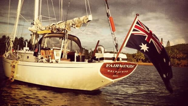
In the Salish Sea, the wrong tide window can turn a short hop into a slow, wet slog. That is why Rachel Wold’s NVS Boaters demo drew interest beyond the Puget Sound Cruising Club’s own membership, especially from sailors trying to make smarter day-to-day decisions before lines are cast off.
The club held the public presentation on April 17 at Puget Sound Yacht Club, 2321 N Northlake Way in Seattle, with the evening starting at 6:30 p.m. PDT before the 7 p.m. meeting time. Puget Sound Cruising Club asked attendees to bring snacks to share if they could, a reminder that this was a club night with an open invitation for the wider boating community. The club, formed in 1973, has kept enough continuity to make a presentation like this feel less like a one-off tech demo and more like a practical seamanship lesson.
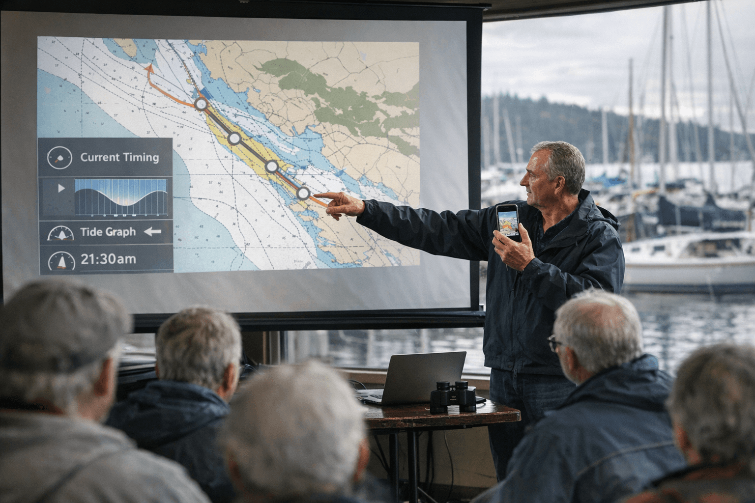
Wold, from the University of Washington and NANOOS, was set to walk through how the NVS Visualization System pulls together real-time observations and forecasts, then show how the NVS Boaters App can help shape a route before departure and while underway. That matters in waters where current timing, weather windows and exposure can change a simple run between anchorages into a very different passage.
The app’s value is in how much it gathers into one place. NANOOS says the Boaters view gives access to NOAA nautical charts, live webcams, NOAA tide tables, currents, tides, current conditions, surface temperature, wave height, wind speed, forecast arrows and HF radar currents. For a skipper planning a crossing, that means checking where the current is set, whether the wind lines up with the route, and whether an anchorage looks better in the afternoon than at slack. It is a planning tool, but it is also a reality check.
That larger purpose fits the organization behind it. NANOOS is the U.S. Integrated Ocean Observing System regional association for Washington and Oregon, established in 2003 and backed by a partnership of more than 70 entities. NOAA says the Salish Sea and Columbia River Operational Forecast System provides nowcasts and forecasts of water levels, currents, temperature and salinity out to 72 hours, while tide tables have been produced for more than 150 years and remain central to safe navigation. The point is not that one app can replace all of that; it is that the app helps boaters use it faster.
For DIY cruisers, that is the real takeaway from the presentation. The NVS Boaters App is most useful when it sits alongside charts, forecasts and local knowledge, not in place of them. It is a modern layer on top of the old work of seamanship: timing the tide, reading the current, choosing the weather window and picking the anchorage that makes the next move easier.
This article was produced by Prism’s automated news system from verified source data, official records, and press releases, then run through automated quality and moderation checks before publishing. The system is built and supervised by the people who set the standards it runs under. Read our full AI policy.
Did this article answer your question?