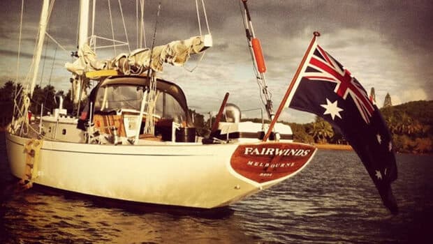
qtVlm Adds Free Tidal Current Forecasts for Sailors Until May 15
qtVlm’s new current layer lets sailors test NOAA’s SSCOFS forecast model free through May 15, sharpening decisions for Swiftsure and R2AK timing gates.
A bad current read can turn a fast leg into a slow grind, or make a start line look open when the tide is already turning against you. qtVlm is trying to close that gap with a new optional tidal-current feature that is free to test until May 15, 2026, then becomes subscription-based.
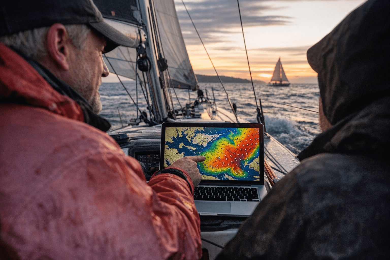
The update matters because qtVlm, already a navigation app for Mac and PC, now includes an internal GRIB server that can display NOAA’s Salish Sea and Columbia River Operational Forecast System alongside weather layers. That gives sailors a way to see current forecasts inside the same planning tool they use for routing, instead of bouncing between tide tables, current charts, and weather products. NOAA says SSCOFS provides nowcasts and forecast guidance out to 72 hours, four times per day, and covers Puget Sound, the San Juan Islands, the Strait of Georgia, the Strait of Juan de Fuca, and the Columbia River region.
For Swiftsure and Race to Alaska crews, the timing is not academic. R2AK is a 750-mile race from Port Townsend, Washington, to Ketchikan, Alaska, with a 40-mile Proving Ground sprint to Victoria, British Columbia, that teams must finish within 36 hours to qualify for the main event. Swiftsure’s Juan de Fuca Race is listed at 75.2 nautical miles, and the race’s safety materials stress how demanding that water can be, including commercial traffic steaming at more than 22 knots. In that kind of race, current isn’t a background detail. It is a route choice, a start-time decision, and sometimes the difference between making the gate or watching it close behind you.
The appeal of SSCOFS is that it goes beyond harmonic tide tables. NOAA says the model incorporates meteorological, oceanographic, and river-flow forecasts, which can make it more realistic in places where wind, pressure, and runoff bend the current away from what a simple table would predict. That is especially useful in narrow passages and river-influenced waters, but it does not replace local knowledge. Burch noted that narrow passes still call for the metered NOAA stations, a reminder that the best routing tool still needs human judgment and cross-checking.
The new layer also lands in a community that already trusts qtVlm in serious training. Starpath switched its coastal navigation courses to qtVlm in June 2025, and Swiftsure has said Dr. Richard Dewey has provided tidal current insights to racers since 2014. Put together, the message is clear: this is not just a slick software add-on. It is another planning lens for sailors trying to make real calls in real water, where the wrong window can cost a race before the first mile is even behind you.
This article was produced by Prism’s automated news system from verified source data, official records, and press releases, then run through automated quality and moderation checks before publishing. The system is built and supervised by the people who set the standards it runs under. Read our full AI policy.
Did this article answer your question?