Why the tropics matter to sailors, beyond the chart line
The tropics are not just a line on the chart. For cruisers, the real lesson is how the ITCZ, trade winds, and rain squalls change when you leave, reef, and stand watch.
The Tropic of Cancer and Tropic of Capricorn sit about 23°27′ north and south of the equator, but a tropics crossing gets interesting long before you reach either line on the chart. The useful question is what the sun is doing to the ocean, the air, and the deck under your feet.
From latitude line to live weather
The old classroom definition is tidy: the tropics run between those two lines, the latitudes where the Sun can stand directly overhead at the solstices. That is true, but it is only the starting point. For sailors, the better frame is energy, because solar radiation drives the wind and rain structures that decide whether a passage feels straightforward or sticky, wet, and awkward.
Sun-warmed ocean and rising moist air build the tropical rain belt, and Earth’s rotation turns that flow into easterly trade winds. If you understand that the trades are not random background breeze but part of a circulating system, you stop expecting the tropics to behave like a clean, temperate forecast window.
The same setup that gives you reliable trade winds also feeds cloud build-up, squalls, and sudden changes in visibility.
The ITCZ is where the easy answer ends
The Intertropical Convergence Zone, or ITCZ, is the part of the tropics that breaks the illusion of a flat, easy cruising belt. It is a band of clouds and thunderstorms near the equator where the northeast and southeast trade winds converge. Sailors have long called it the doldrums because of the light-wind conditions, and that old nautical name still earns its keep when you are sitting in glassy water with heat on the cabin top and nowhere useful to put the bow.
The Met Office says ITCZ thunderstorms can reach or exceed 16 km, or 55,000 ft, in height. That is not a little afternoon shower and it is not something to shrug off because the chart looks empty. A towering cell in the belt can turn a decent day into a wet, jolting one fast enough that the crew’s first warning is usually the darkening sky, not the forecast.
There is also a subtropical piece that cruisers miss when they think only about the equator. Sinking air from the ITCZ helps create high pressure in the subtropics, the horse latitudes. That is part of why places like the Azores can sit under generally benign weather while the belt closer to the equator is busy building cloud towers and wind shifts.
Even the doldrums themselves are being reconsidered. In a 2024 research summary, the Max Planck Institute for Meteorology challenged the older theory that the doldrums are simply caused by converging and rising air.
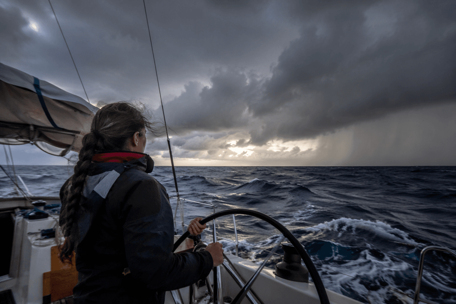
Rain changes the passage, not just the forecast
The common mistake is to treat tropical rain as a comfort issue. It is a seamanship issue. When the sky opens in the tropics, visibility goes first, then deck grip, then the crew’s sense of where the next squall is forming. A rain band is not just wet weather over a sunny sea; it is part of the same system that builds the wind field, and it can shut down the horizon right when you most want to see the next line of cloud.
That is why misreading squalls is such a costly habit. The trap is assuming a quick dark cloud is just a passing nuisance, then finding out the tropical sky is building a bigger structure behind it. Once you understand that the ITCZ is a band of clouds and thunderstorms, squalls stop looking like isolated surprises and start looking like the visible edge of a broader pattern.
Rain also changes the boat itself. A wet foredeck, slippery side decks, and poor visibility make ordinary movement on board more demanding, especially when the crew is working around a watch change or a sail adjustment. In the tropics, “comfortable” weather can still be poor working weather, and that distinction matters when you are moving forward with a wet sail in your hands or trying to read a dark line on the horizon.
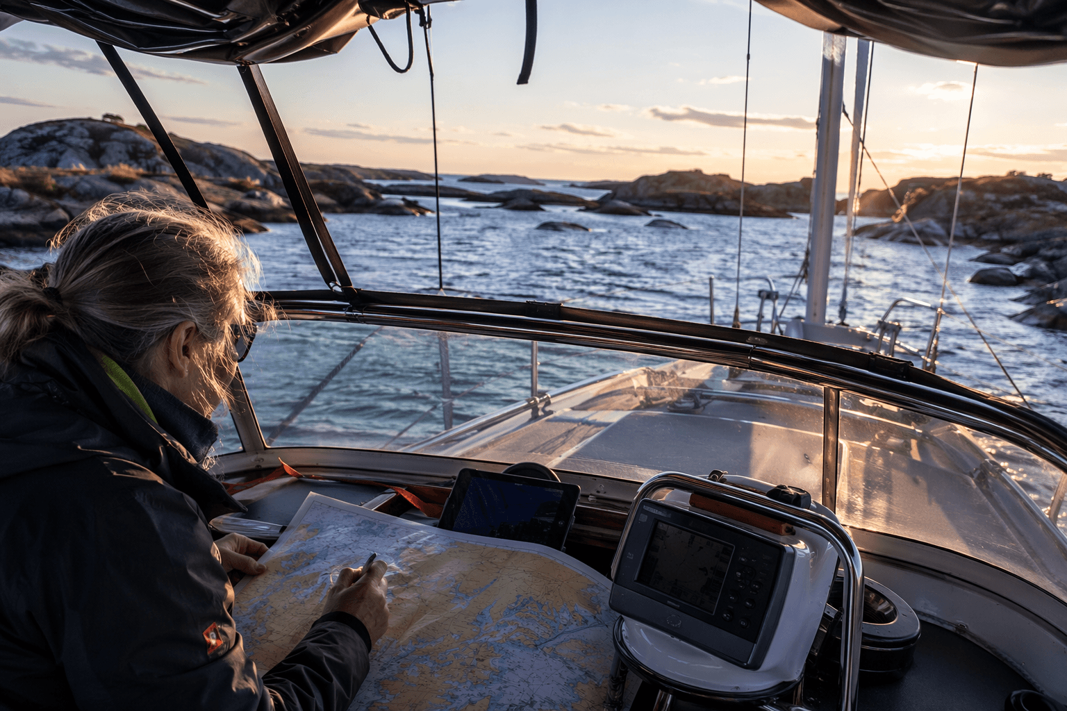
How to use tropical weather in real passage planning
This is where the chart line becomes useful again. If you know the tropical rain belt migrates and the trade winds are part of a solar-driven circulation, you can plan departure timing with more discipline than just picking a nice-looking day. You are choosing where your boat sits relative to the belt of clouds, showers, and easterly flow.
The practical payoff shows up in four places:
- Departure timing: aim your crossing around the seasonal position of the rain belt, not just the nearest calm forecast.
- Sail plan: expect the trades to give you steady easterly breeze, but keep reefing decisions ahead of the squall, not after it.
- Watch routines: build checks around cloud growth, horizon changes, and rain curtains, because the ITCZ announces itself visually before it arrives overhead.
- Gear prep: treat rain protection, visibility, and deck safety as passage gear, not nice extras.
This article was produced by Prism’s automated news system from verified source data, official records, and press releases, then run through automated quality and moderation checks before publishing. The system is built and supervised by the people who set the standards it runs under. Read our full AI policy.
Did this article answer your question?