Escape Phoenix heat on Arizona’s coolest summer hikes
Phoenix can wait: the coolest July hikes are in Flagstaff, Rim Country and the White Mountains, where shade, water and higher elevations buy you time on trail.
Phoenix averages 95.5 degrees in July at Sky Harbor Airport. A couple of hours north can put you in Flagstaff’s 7,000 to 7,300 foot air, where conifers, aspens and creek corridors make midsummer hiking feel like a different state. About 4,298 people end up in Arizona emergency rooms each year for heat-related illnesses, according to the Department of Health Services, and the National Weather Service calls heat the deadliest weather in the state.
The first rule is elevation
Summer trail time in Arizona is really a game of altitude, and the state’s safest bets sit far above the desert floor. Flagstaff, Rim Country and the White Mountains all give you the kind of terrain where cool mornings last longer, shade holds better and water is more likely to be part of the route. Arizona State Parks and Trails urges hikers to pre-hydrate, pack plenty of water and check weather conditions and ranger guidance before heading out.
Flagstaff gives you the quickest escape from the Valley
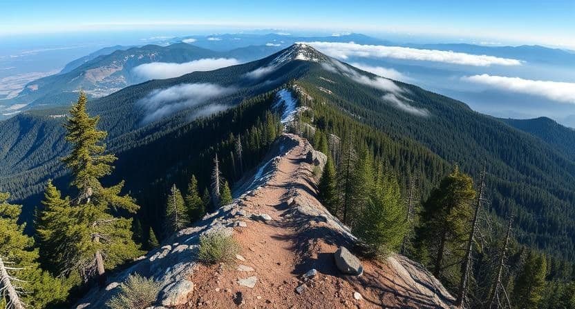
Kachina Trail No. 150 is the classic starting point. It runs about five miles end to end through the Kachina Peaks Wilderness, an 18,960-acre area established in 1984 on the Coconino National Forest’s Flagstaff Ranger District, and it drops from roughly 9,500 feet to 8,800 feet. That descent, plus the conifer groves and aspens along the San Francisco Peaks, is exactly why the trail stays one of the state’s coolest-feeling summer walks.
If you want a gentler version of that same high-country mood, the Aspen Nature Loop sits just across the parking lot from Kachina. It works well as a shorter leg-stretcher when you want the same mountain air without committing to a long outing. In the same Flagstaff cluster, the Weatherford Trail follows the remains of an old road that once took Model T Fords to the top of the San Francisco Peaks, and now it opens views over Oak Creek Canyon and the Verde Valley.
Rim Country is where creeks and shaded rims do the heavy lifting
Rim Country’s summer value comes from water and forest cover. The Thompson Trail follows the West Fork of the Black River, which gives the route a cooler, greener feel than the lower country around it. Nearby, the Springs Trail adds another water-and-shade option for hikers who want to stay in the trees and away from exposed desert terrain.
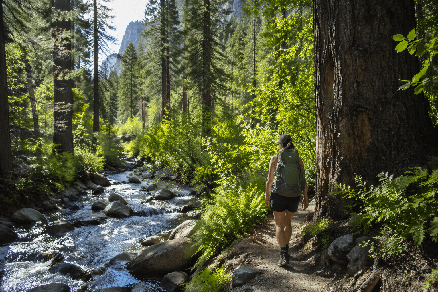
Rim Lakes Vista Trail 622 is the region’s standout if you want long views without fully surrendering to the heat. It meanders for 4.3 miles along the Mogollon Rim from The Rim Top Trailhead to Mogollon Campground and Trailhead, and about 2.5 miles of that route are paved from near Military Sinkhole to Mogollon Campground. That mix of forest edge, rim scenery and easier tread makes it a good fit for a cooler morning when you still want a substantial walk.
The White Mountains stretch the cool-season feel even farther
If you are willing to drive deeper into eastern Arizona, the White Mountains give you another tier of relief. Horton Creek is known for water and shade, which is exactly what a midsummer trail wants when the rest of the state is baking.
The surrounding Apache-Sitgreaves National Forests make that option even more appealing. The two forests merged in 1974 and now cover about 2 million acres, including 450 miles of rivers and streams.
How to choose the right hike for the day
The safest summer plan is to match the hike to the conditions, not to your usual mileage goal. Use these variables to narrow the list:
- Elevation: The Kachina Trail’s 9,500-foot start buys you real relief from Phoenix heat.
- Shade: Kachina’s conifer groves, the Thompson Trail’s river corridor and Horton Creek’s shaded watercourse all hold cooler air longer.
- Water access: Trails along the West Fork of the Black River, Horton Creek and the Mogollon Rim are better bets than open desert routes.
- Drive time: These are the hikes that justify a couple of hours in the car from Phoenix when the Valley is locked into summer heat.
- Start-time strategy: Go early, use the cool morning and keep enough flexibility to turn around before the route gets exposed.
- Weather risk: Mountain weather can change quickly, so check conditions, hydrate before you go and confirm ranger guidance before committing.
This article was produced by Prism’s automated news system from verified source data, official records, and press releases, then run through automated quality and moderation checks before publishing. The system is built and supervised by the people who set the standards it runs under. Read our full AI policy.
Did this article answer your question?