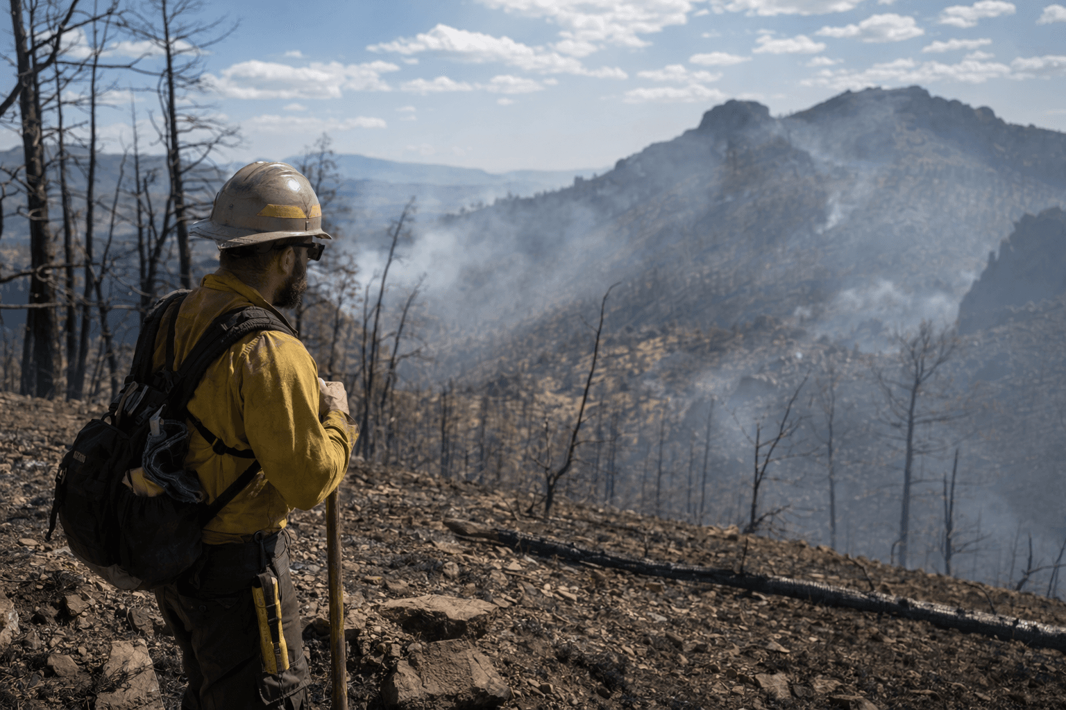
Six Mile Fire reaches 87% containment, closures remain in Magdalena Mountains
Containment hit 87%, but Forest Road 235, the 70 Trail and other routes in the Magdalena Mountains remain closed through September 1.

The Six Mile Fire may be mostly lined, but the trip through the Magdalena Mountains is still being shaped by closures, not flames. Forest Road 235, the 70 Trail and other routes inside the fire footprint remain off limits, and that keeps access to the high country southeast of Magdalena, New Mexico, far more limited than a quick look at containment numbers suggests.
The final May 17 update put the fire at 341 acres and 87% containment, with about 128 personnel still assigned in steep, remote terrain on the Magdalena Ranger District of the Cibola National Forest and National Grasslands. Crews were finishing contingency line work along Forest Road 235, continuing work along the 70 Trail and beginning suppression repair where active fire behavior had eased. The incident was transitioned back to the Cibola National Forest and Grasslands at 6 p.m. Monday, May 18, but that handoff did not reopen the closed routes inside the burn area.
Those closures matter because the fire footprint cuts across the routes hikers, trail runners and overlanders use to move through the Magdalena Mountains. On May 11, the Forest Service issued a trail closure order for the Magdalena Ranger District tied to the fire, and the alert page lists that order through May 19 unless rescinded. The broader closure tied to the fire footprint remains in effect through September 1, 2026, unless rescinded, which means the usual network of forest roads and trails is still not functioning as a through-route across the area.
The operational updates show why managers kept the restrictions in place. On May 14, crews were doing structure assessment and preparation around Langmuir Observatory and working the 370 Trail corridor off Forest Service Road 325 toward the Sawmill Fire scar. On May 15, suppression repair along Forest Road 235 included installing water bars to reduce erosion from future rainfall, and the Forest Service organized an Initial Attack group in case new starts appeared under elevated fire weather. Wind, very dry conditions and poor humidity recovery were still expected, with gusts that could reach 40 mph or more.
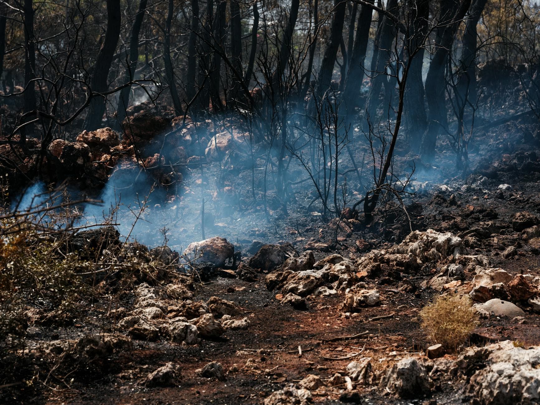
Smoke was described as minimal, though it could still be visible from Highway 60. That is the trap for travelers: the burn looks quieter from the highway, but the route network around it is still partly severed. For anyone heading toward Magdalena, the fire is no longer a full suppression story, but the closures are still a live access story, and they continue to define what is and is not open in the mountains.
This article was produced by Prism’s automated news system from verified source data, official records, and press releases, then run through automated quality and moderation checks before publishing. The system is built and supervised by the people who set the standards it runs under. Read our full AI policy.
Did this article answer your question?