Autauga Creek offers a 13-mile canoe trail from Prattville to the Alabama River
Autauga Creek gives Prattville a 13-mile water route to the Alabama River, with access points, camping, and riverland details that shape every trip.
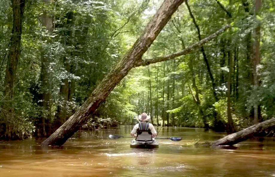
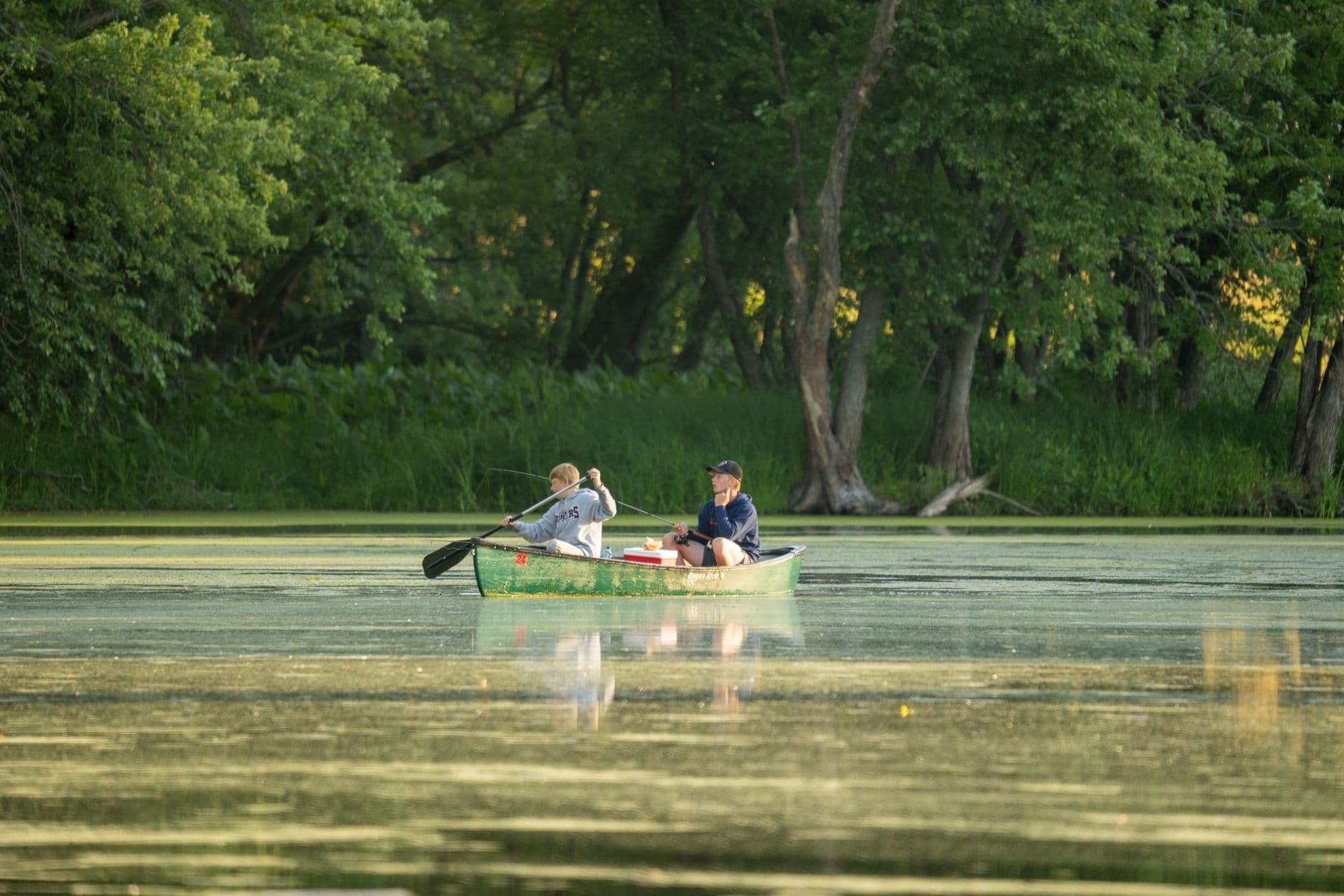
Autauga Creek is one of Prattville’s most useful outdoor assets because it works as a paddling route, a fishing stream, and a direct link to the Alabama River. Outdoor Alabama describes it as a Coastal Plain stream that is floatable from Prattville to the river, which means this is not just a scenic waterway but a real route with practical value for a half-day outing or a longer float.
A route, not just a creek
The strongest reason to plan around Autauga Creek is that it has a defined trail structure. The Autauga Creek Canoe Trail is listed as 13 miles long in the 2015 National Recreation Trails application, and AllTrails describes it as a point-to-point kayak or canoe trail starting behind City Hall in Prattville. That makes the creek unusually easy to understand for first-time users: you are not guessing where to begin or whether the water actually connects to somewhere useful.
Outdoor Alabama adds one important detail that shapes the entire trip. To reach the Alabama River all the way through the system, paddlers need an upstream paddle to Cooters Pond first. That matters for trip planning, because it tells you the creek is part of a larger water network rather than an isolated stretch of water that dead-ends on a map.
Where to put in and what to expect
Access is one of the creek’s biggest strengths, but it is also the detail that determines whether a trip feels easy or frustrating. AllTrails says there is free parking and easy access to the creek at both ends of the route, which gives the trail a level of convenience many outdoor spots lack. Alabama Travel also places creek access on County Road 10 in Prattville, giving another practical starting point for people trying to find the water without guesswork.
The Alabama Travel listing goes beyond paddling and mentions primitive camping and picnicking nearby. That expands the creek’s usefulness from a simple float to a full day-trip destination, especially for families or small groups that want to stay on the water, eat by the creek, and linger without having to move between several different recreation sites.
Why Cooters Pond matters
Cooters Pond is the key connection point between the creek and the Alabama River, and the surrounding park system gives the trail its most visible infrastructure. Paddling and birding listings describe Cooters Pond Park as having boat ramps, docks, and river access on the Alabama River. Paddle Guide says the park offers two boat ramps and docks, including ADA ramp access, which makes it one of the most practical public access points tied to the creek.
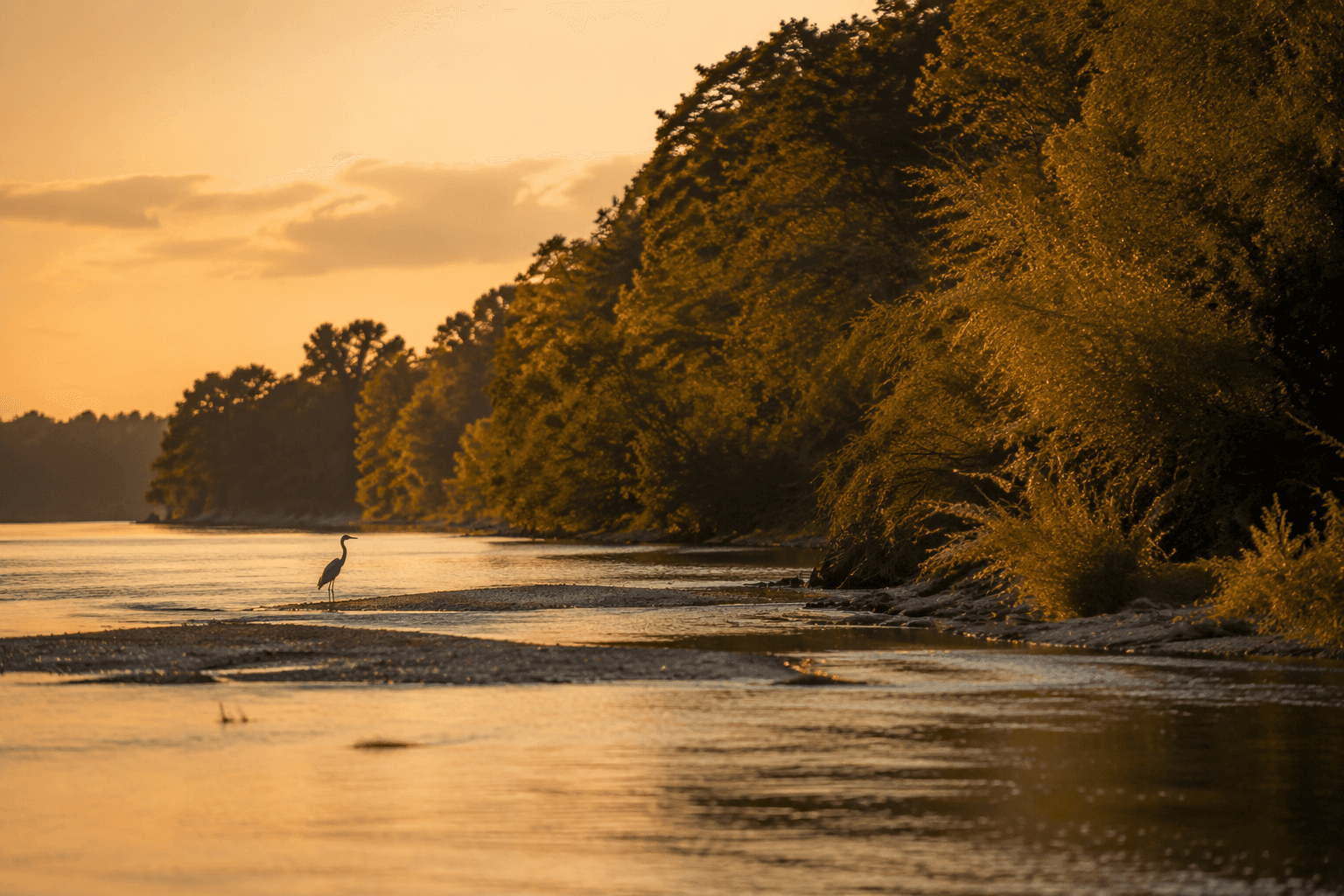
Alabama Birding Trails adds another layer by describing Cooters Pond Park as divided into two parts, including a wooded upper section. That mix of launch facilities and natural setting is part of what makes the area useful to more than one kind of visitor. Paddlers get a launch site, birders get habitat, and casual visitors get a park that feels more like a destination than a pass-through.
A creek that still shapes Prattville
Autauga Creek is also a piece of Prattville’s origin story. A local-history source says Daniel Pratt’s first industrial factory was built on the banks of Autauga Creek to use water power, and a historical marker ties the creek to that early industrial history. The creek helped shape where Prattville grew and why, which is why it still carries more weight than a typical neighborhood stream.
Autauga County itself adds another layer of place-based history. The county was created in 1818 by an act of the Alabama Territorial Legislature, and it takes its name from the Autauga Indians, members of the Alibamo tribe. That background gives the creek and the county a shared sense of identity, with the waterway sitting inside a much older regional story.
What makes the creek different from other local options
Autauga Creek stands out because it combines convenience with continuity. It is close enough to Prattville’s downtown core that AllTrails can describe the route as starting behind City Hall, yet it still flows into the Alabama River system. That rare mix gives it a different feel from a park loop, a neighborhood pond, or a one-off launch point with no destination beyond the bend in front of you.
It also serves multiple uses at once. The creek supports floating and fishing, and that matters in a county where not every outdoor space is equally adaptable. A waterway that works for a canoe trail, a fishing stop, a birding outing, and an overnight-style picnic area has more public value than a scenic corridor that can only be viewed from shore.
Stewardship and access remain part of the story
The Autauga Creek Improvement Committee says its mission is to provide a natural, scenic, and educational recreation experience through ecological conservation and preservation of quality public access to the Autauga Creek Canoe Trail. That mission is important because access does not maintain itself. A creek can be valuable on paper and still underused if launches, trails, and entry points are hard to find or poorly maintained.
The City of Prattville said in 2025 that the committee received a $4,190 Alabama Scenic River Trails waterway enhancement grant to support a portable kayak launch system. That kind of investment points to a simple reality: the difference between a creek that gets used and one that sits overlooked often comes down to whether people can reach the water safely and easily.
How to use Autauga Creek well
A good trip on Autauga Creek starts with matching your plans to the waterway’s structure. The 13-mile canoe trail gives paddlers a clear framework, while the County Road 10 access, the trailhead behind City Hall, and the facilities at Cooters Pond create a practical chain of entry points and take-outs.
- For a short outing, use the Prattville access points and keep the trip local.
- For a fuller paddle, plan around the creek-to-river connection through Cooters Pond.
- For a slower day, use the nearby picnicking and primitive camping options.
- For a broader outdoor visit, pair the water with birding at Cooters Pond Park and the wooded upper section.
Autauga Creek is useful because it is specific: a 13-mile trail, a downtown starting point, a river connection, and a set of access points that make the waterway feel public rather than hidden. That combination gives Prattville and Autauga County a creek that still works as everyday recreation, not just local scenery.
This article was produced by Prism’s automated news system from verified source data, official records, and press releases, then run through automated quality and moderation checks before publishing. The system is built and supervised by the people who set the standards it runs under. Read our full AI policy.
Did this article answer your question?