Autauga WMA map details 8,127 acres, named units, habitat
Autauga WMA is a mapped 8,127-acre public hunting tract, with named units, pine habitat and permit rules that shape who can use it.
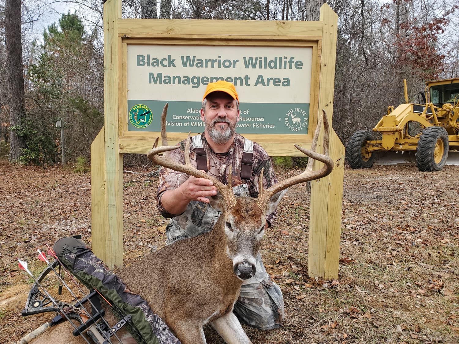
Autauga WMA is not just a patch of public ground on a county map. It is a working wildlife tract with 8,127 acres, named management units and rules that tell hunters exactly how the land is meant to be used. For Autauga County, that makes it a taxpayer-funded access point for hunting, habitat and recreation, not a generic open space.
What Autauga WMA is
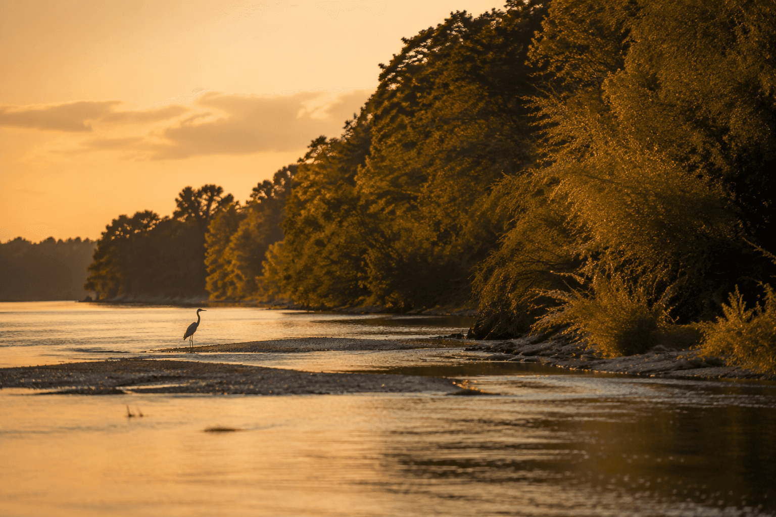
Outdoor Alabama identifies Autauga WMA as the former Charles D. Kelly WMA, located just north of the Black Belt region in the upper coastal plain. The land is described as gently rolling hills with sandy soils, and the habitat is mostly loblolly-longleaf pine stands. Those details matter because they explain why the area looks and functions the way it does: this is managed habitat built for wildlife, not simply a scenic preserve.
The current 2025-2026 map package turns that broad description into a usable landscape. It identifies the tract as Charles D. Kelley Autauga County and breaks it into named units including AL J Motorway North, AL J Motorway South, Joffre Addition and Oak Grove. For a local hunter or family planning a trip, those labels are the difference between a vague public acreage and a place that can be found, navigated and used with purpose.
Why the acreage and map details matter
Public listings and map search results put Autauga WMA at 8,127 acres. That number is more than a bragging point. It tells you the scale of the public land available inside a county where much of the surrounding landscape is private, developed or farmed.
The map package also shows that the tract is being managed in units, which is how agencies handle access, habitat and land-use decisions on large public properties. A wildlife management area is not treated like a city park with a single entrance and a few paths. It is an actively managed system, and the map sheets are the tool that lets hunters, conservation staff and anyone else reading the land understand where one unit ends and another begins.
Who manages it and how it is paid for
Autauga WMA sits inside a statewide network of wildlife management areas maintained by the Alabama Department of Conservation and Natural Resources Division of Wildlife and Freshwater Fisheries. Outdoor Alabama says Alabama’s wildlife management areas total more than 750,000 acres of land for the state’s hunters.
That system is financed with hunting-license funds and federal funds, which gives the land a clear public purpose. The money does not just buy acreage. It supports the maintenance, oversight and habitat work that make the tract usable year after year. In practical terms, that means the county’s public hunting land exists because Alabama treats access and conservation as an ongoing public investment.
What the rules mean in practice
WMAs are not free-for-all public forests. Alabama’s hunting regulations for WMAs say hunters generally need area and daily permits, unless they are using the Outdoor Alabama WMA check-in application. Outdoor Alabama also directs hunters to the full WMA regulations before entering WMA property.
That matters for anyone who is used to city parks or broad public land where access is mostly informal. On a WMA, the permit system is part of how the state controls pressure on wildlife, tracks use and keeps hunts aligned with season dates. It also means a trip to Autauga WMA should start with the rules, not with the truck keys.
What the permit seasons have covered
A 2018-2019 Autauga WMA permit map shows how specific those rules can be. Gun deer permits and primitive weapons permits were issued on defined hunt dates, and the map itself served as the permit for archery deer, small game and turkey hunting in those seasons.
That kind of structure is useful for local hunters because it shows the tract is not just open in a vague sense. It is scheduled, regulated and assigned to particular uses. The result is a public hunting area that tries to balance access with wildlife management, especially on a tract where pine habitat and game seasons have to fit together.
The naming history behind the tract
The name change carries its own county history. On Jan. 13, 2017, the Montgomery Advertiser reported that the Autauga hunting area had been renamed in honor of former conservation commissioner Charles Kelley. His family said at the time, “Charles D. Kelley would be proud.”
Outdoor Alabama also has a page for a Charles D. Kelley - Autauga Wildlife Management Area dedication ceremony, showing that the naming was formalized through the state conservation system. The renamed tract links a local conservation figure to a public land base that still serves hunters and other users today.
How the land continues to grow
Autauga WMA has also expanded through Forever Wild Alabama. Five purchases totaling 1,984.6 acres make up additions to the area and are intended to expand public hunting, preservation, habitat restoration and recreation opportunities in the central region of the state.
That expansion is important because it shows the WMA is not frozen in time. The acreage, habitat and boundaries have all been shaped by land purchases and management decisions. For Autauga County, that means the public land base can still grow in ways that support wildlife and make room for more access.
Why it matters locally
Autauga WMA gives the county something that is easy to overlook until it is needed: a large, managed public landscape with a clear purpose. The named units on the map, the permit rules, the habitat description and the acreage count all point to the same reality. This is land set aside for conservation, hunting and public use, with taxpayer-supported management behind it.
For Autauga County, that makes the WMA part of daily life even when most people never set foot inside it. It shapes wildlife habitat, hunting access and the county’s outdoor identity, and it does so through a system built to stay open, regulated and legible to the public.
This article was produced by Prism’s automated news system from verified source data, official records, and press releases, then run through automated quality and moderation checks before publishing. The system is built and supervised by the people who set the standards it runs under. Read our full AI policy.
Did this article answer your question?