Autaugaville’s origins trace to early mills on Swift Creek
Autaugaville grew from a grist mill on Swift Creek into a town with a post office, a contested incorporation date and a creek-centered identity that still defines it.
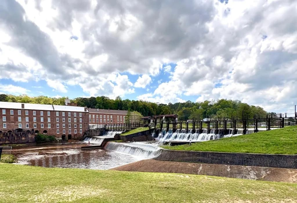
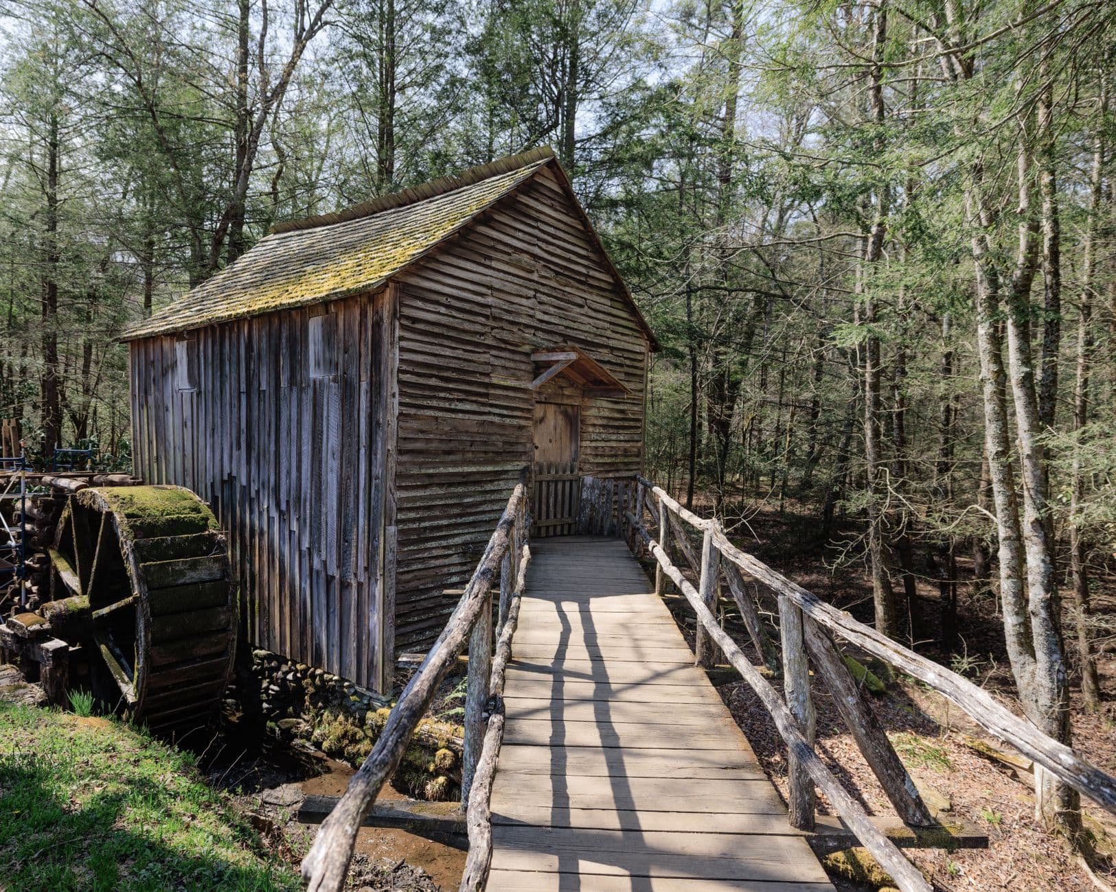
Autaugaville’s story starts with water power, not a courthouse square. Around 1820, William Thompson built a grist mill here, and the first settler in what is now Autaugaville also put up a gristmill and sawmill on Swift Creek, about three miles upriver from the Alabama River. That mill-site origin still explains why the community looks and feels different from places in the rest of Autauga County.
Swift Creek made the town
The earliest history points to a small industrial corridor rather than a scattered rural settlement. Swift Creek offered the steady flow needed for milling, and by 1849 a cotton mill had opened on its banks, adding another layer to the local economy. Those pieces make Autaugaville one of the county’s clearest examples of a place built around the practical needs of frontier life: grinding grain, sawing lumber and processing cotton close to water.
That pattern matters because it gives the town a recognizable shape even today. Creeks did not just feed mills; they determined where people settled, how goods moved and which routes stayed important long after the original machinery was gone. In Autaugaville, the creek corridor is still the town’s most legible landmark, which is why its history reads less like a heritage footnote and more like the original blueprint for the community.
The dates that turned a mill site into a town
The move from mill settlement to formal town came in stages. The University of Alabama’s historical-place text for Autauga County says Autaugaville had a post office established in 1851 and was incorporated in 1907. That post office date is a useful marker because it shows the community had become organized enough to need regular mail service, a sign of permanence that often followed the earliest waves of settlement in Alabama.
There is, however, a date discrepancy worth keeping straight. The Central Alabama Regional Planning and Development Commission notes that one source gives an incorporation date of 1839, while its own reference uses 1907. For readers trying to place Autaugaville on a timeline, that means the safest approach is to note the conflicting dates rather than flatten them into one version. The broader point remains the same: by the early 20th century, Autaugaville had moved well beyond its first mill camp identity.
Why the map still matters
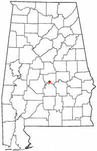
Autaugaville’s location explains almost everything about its beginnings. The town sits roughly three miles north of the Alabama River, a position that put it within reach of both creek water and river travel. Swift Creek provided the mill site; the Alabama River connected the community to wider routes of trade and movement. That geography is why the settlement took root where it did, and why its origin story remains tied to the waterway rather than to a later subdivision pattern or commercial strip.
The county around it is old, too. Autauga County was created in 1818 by the Alabama Territorial Legislature, before Alabama became a state, and the county takes its name from the Autauga Indians, who were members of the Alibamo tribe. That context places Autaugaville inside one of central Alabama’s earlier settlement corridors, where waterways, Native place names and frontier industry all shaped how communities formed.
What residents still recognize today
Autaugaville’s creek-centered identity has not disappeared. The modern map still includes Swift Creek Park and Boat Landing, a public access point that keeps the creek visible as a place people use, not just a line on a historical map. The USGS has a monitoring location titled Swift Creek at Autaugaville, AL, which shows the creek remains important enough to track as a fixed geographic reference.
TopoZone places Swift Creek near Autaugaville at about 125 feet elevation and at 32.4029146°N, 86.6352566°W. Those coordinates matter because they anchor the town in the landscape with unusual precision, reinforcing how closely the community is bound to the creek corridor. In a town whose earliest industries depended on water flow, that physical setting still does part of the work of defining place.
A creek that still draws attention
Swift Creek is not only part of the past. On June 3, 2023, volunteers with People Against a Littered State cleaned up the area around Swift Creek Landing in Autaugaville, showing that the waterway still draws local stewardship and public use. Cleanup work like that is practical, not ceremonial: it keeps the landing accessible and reinforces the creek’s role as a shared community space.
That is the thread running through Autaugaville’s history. A grist mill around 1820, a sawmill on Swift Creek, a cotton mill in 1849, a post office in 1851 and incorporation in 1907, or possibly 1839 in another account, all point to the same core fact: the town formed around the creek and never fully stopped being a creek town. In Autauga County, Autaugaville remains distinct because its landmarks still follow the line of the water that first made settlement possible.
This article was produced by Prism’s automated news system from verified source data, official records, and press releases, then run through automated quality and moderation checks before publishing. The system is built and supervised by the people who set the standards it runs under. Read our full AI policy.
Did this article answer your question?