Steeple Rock mines reveal Hidalgo County’s volcanic mineral history
Steeple Rock turns a quiet stretch near Virden into a map of faults, veins and family memory, revealing why Hidalgo County’s overlooked mining past still matters.

Steeple Rock rises above Virden as more than an old mining camp. In the Summit Mountains, the district still reads like a geological ledger, with more than 60 mines strung along faults and a landscape of abandoned workings, roads and trails that keep the past visible in the present. That makes it one of Hidalgo County’s most revealing hidden places, a mining district whose history is still written into the land itself.
A volcanic district, not a single mine
Steeple Rock is materially different from the better-known Lordsburg mining story because it is not defined by one town, one shaft or one commodity. The New Mexico Bureau of Geology treats the district as an excellent place to study how alteration and fissure veins form in an epithermal environment, which is the kind of hot, shallow hydrothermal system that leaves a distinctive mineral fingerprint behind. Here, the veins are structurally controlled and hosted by Oligocene to Miocene volcanic and intrusive rocks, so the rocks themselves preserve the record of how the district formed.
Five vein types show up in the district: base metals with gold-silver, gold-silver, copper-silver, fluorite and manganese. That is a much more complex mineral mix than a simple gold camp, and it helps explain why Steeple Rock matters to geologists as well as local history. The base-metal veins sit on the west-northwest-trending Carlisle fault, while gold-silver veins spread along northwest-trending faults outward from the center, giving the district a clear structural pattern that can still be mapped today.
The ages tell the story
The district is valuable because it captures more than one stage of mineral formation. The Bureau says neutral-pH and acid-sulfate alteration occurred about 31 to 28 million years ago, followed by younger epithermal vein mineralization at about 28 million years old or younger. In practical terms, that means the district records an early geothermal system, then later ore-forming pulses that moved through the same fault network.
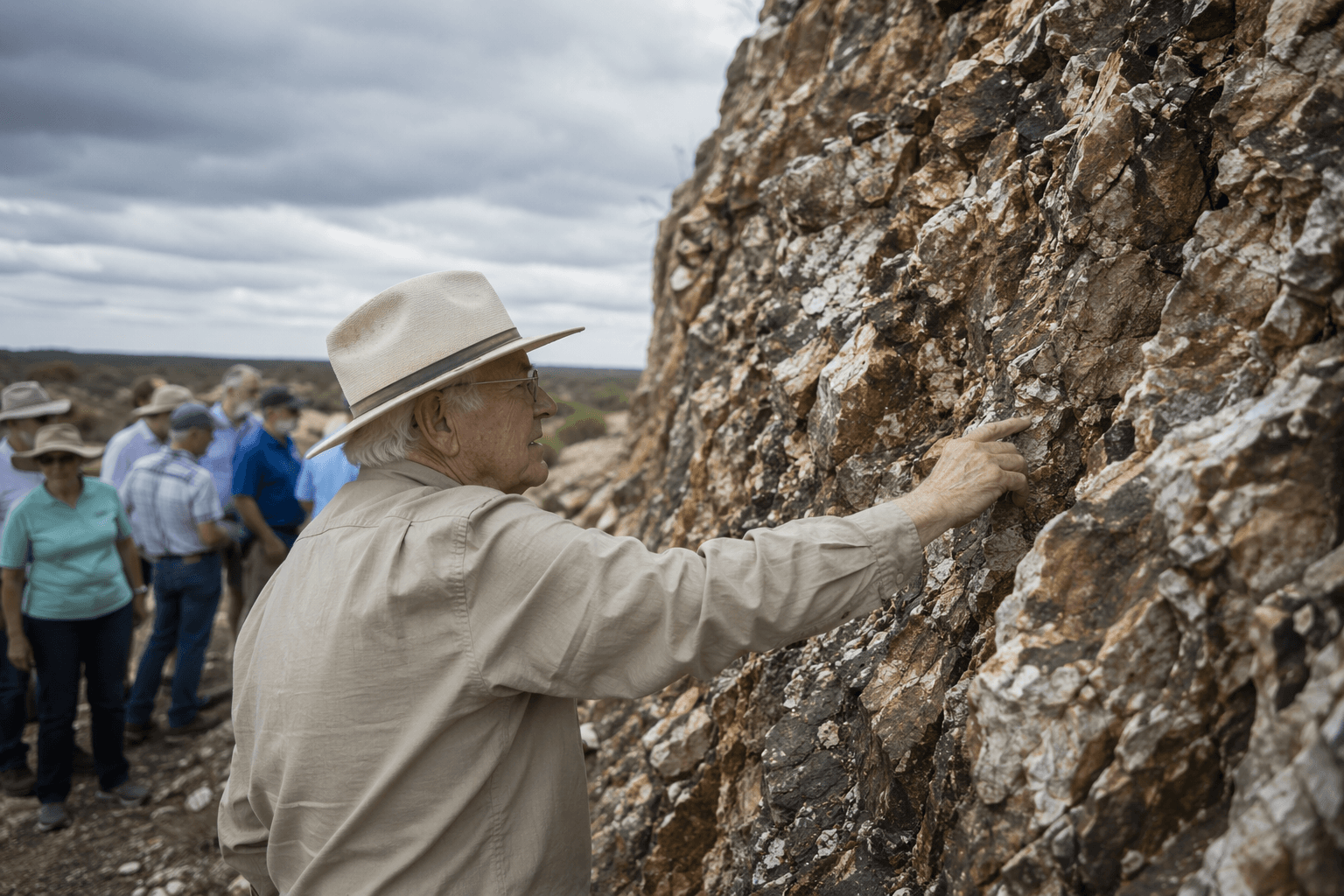
Those fluids were hot, shallow and chemically different from each other. The epithermal veins formed from low-salinity fluids at temperatures between roughly 240°C and 340°C, and the alteration took place at shallow depths of less than 1.5 kilometers. The Bureau’s work also shows that the system was episodic rather than continuous, with heat and fluids migrating from one locality to another as structurally controlled zones shifted through time.
For readers who do not spend time in ore geology, that matters because it explains why Steeple Rock is not just an old digging site. It is a place where fault lines, volcanic rocks and hydrothermal fluids intersected over millions of years, leaving a district that can still be read like a history book in stone. The strongest geologic message here is that the landscape did not merely host mining, it created the conditions that made mining possible.
From the 1860s to the early 1900s
The human timeline is just as specific. Exploration in the district began about 1860, but production was not reported until 1880. That gap reflects the rough frontier conditions of the upper Gila region, where prospecting came first and sustained mining followed only after the district’s better veins were identified. The U.S. Geological Survey’s publication record places the Steeple Rock and Duncan districts in Grant and Hidalgo counties, New Mexico, and Greenlee County, Arizona, which underlines how the district crosses county and state lines rather than fitting neatly inside one jurisdiction.
Production was substantial. Between 1880 and 1994, an estimated $10 million worth of metals came from the district, including about 151,000 ounces of gold, 3.4 million ounces of silver, 1.2 million pounds of copper, 5 million pounds of lead and 4 million pounds of zinc. That mix shows the district was never just a gold-and-silver story, even if those were the metals that initially drew the most attention. It also explains why the Carlisle and Center mines became the district’s best-known producers.
The first mining cycle did not last forever. Mining ceased in the early 1900s as the near-surface gold and silver veins were depleted, and a 1930s gold-price rebound helped reopen many mines. The New Mexico Bureau of Geology notes that gold rose from $20.67 to $35 per ounce in that decade, a reminder that commodity prices, not just geology, shaped whether the district was active or quiet. In 1942, the U.S. Geological Survey and the U.S. Bureau of Mines also evaluated the Carlisle fault for base-metal potential, showing that the district retained strategic interest well after the earliest boom years.
What still remains near Virden
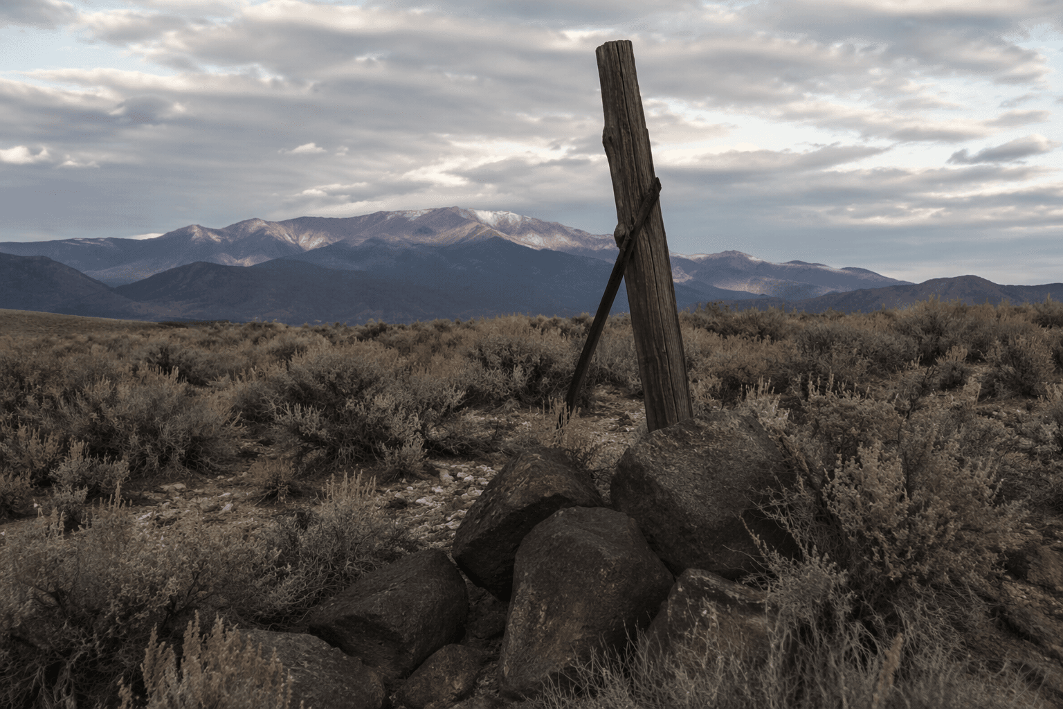
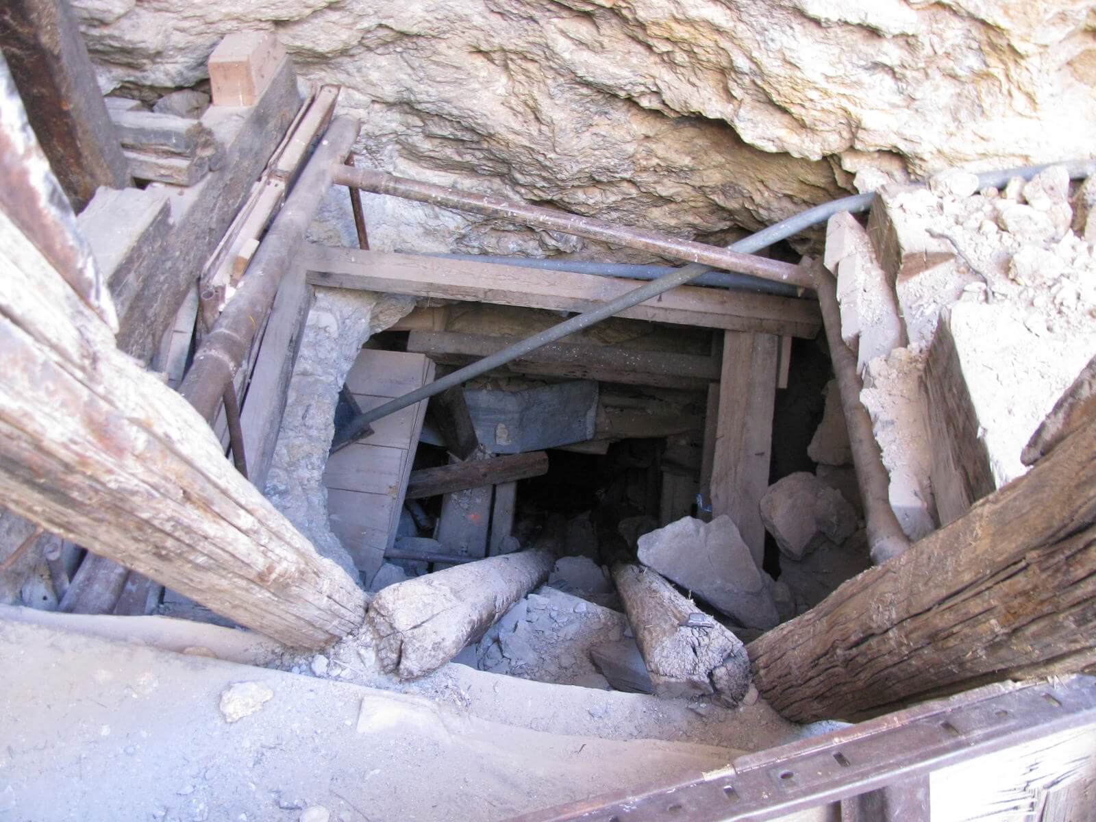
The surviving traces are not hard to find if you know what to look for. The Forest Service describes the Gila landscape as one where remnants of the past are still a nearly constant reminder, including mines, roads and trails. In Steeple Rock country, that means abandoned workings, old route scars and mineralized cuttings still mark the ground, especially around the fault zones that concentrated ore in the first place.
The place names do part of the remembering too. Steeple Rock itself is a twin-spired volcanic butte, and the district’s structure is still tied to names like the Carlisle fault, Carlisle mine and Center mine. Those names are not just labels on a map; they are coordinates for a landscape that shaped where people worked, where ore was hauled and where the county’s mining identity was formed.
Virden adds the community layer that keeps the district from becoming a forgotten geologic footnote. The Route 66 Virden Historical Society says it works to collect family histories and document community memories, which is exactly the kind of local record that keeps mining country legible across generations. That matters because the Steeple Rock district is not isolated from Hidalgo County life, it sits inside the county’s broader story of settlement, transport, land use and working memory.
For residents near Virden, Steeple Rock is proof that Hidalgo County’s history is bigger than the familiar headlines and county-seat narratives. The district shows how volcanic mineral systems, federal geology, private memory and old road networks all overlap in one overlooked corner of the county, and that is exactly why the landscape still deserves attention.
This article was produced by Prism’s automated news system from verified source data, official records, and press releases, then run through automated quality and moderation checks before publishing. The system is built and supervised by the people who set the standards it runs under. Read our full AI policy.
Did this article answer your question?