Railroad shaped Springfield, then the Jim Wells County town faded
Springfield rose with the Texas-Mexican Railway and emptied fast once rail-era lifelines slipped away. Today, Farm Roads 625 and 3087 mark what remains.
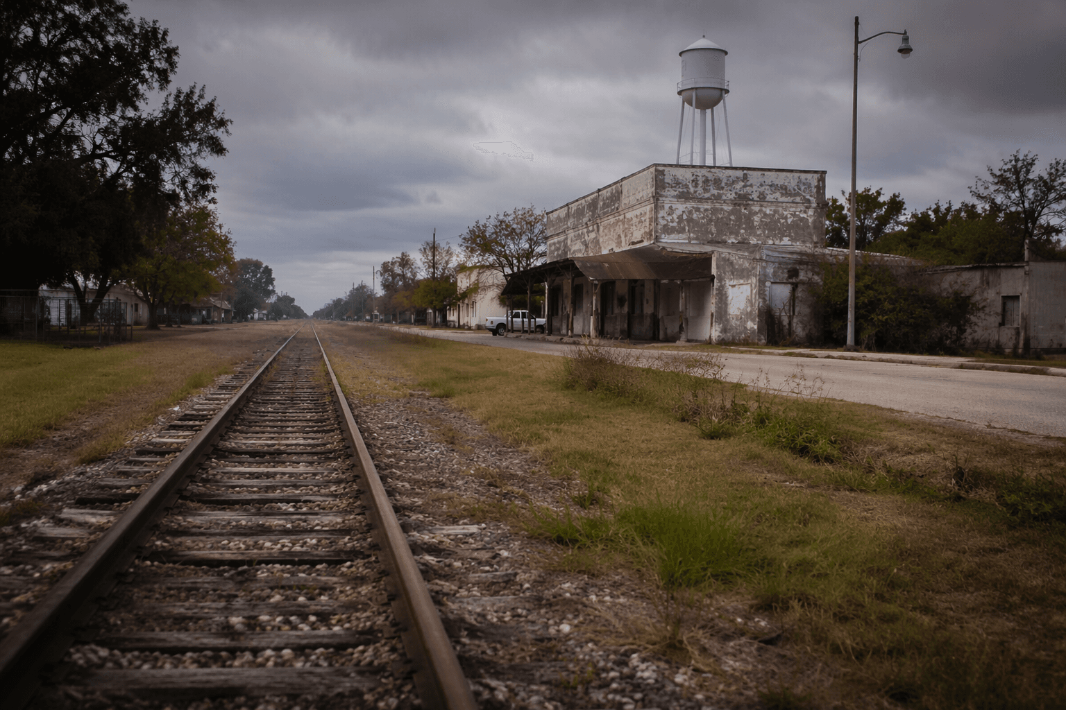
At Farm Roads 625 and 3087, about three miles southeast of San Diego and seven miles northwest of Alice, Springfield took shape after railroad construction pushed across Jim Wells County in the early 1880s. Its rise was tied to a line of steel, and its shrinkage followed when mail, traffic, and local institutions stopped holding it together.
Where Springfield sits now
On a map, Springfield is easy to place even if it is no longer easy to find as a town. The old community sits in west central Jim Wells County, in the corridor where rail and road routes have long crossed ranch country. A 1930s county highway map still showed a school and scattered dwellings there after its brief boom had passed.
Springfield is now a named point in the county landscape rather than a village center with a storefront row. The roads are the clearest trace, and the old townsite is still legible because it was built around transportation, not around a court house square or a trade district that could outlast the railroad.
The railroad created the town
Springfield grew because the Texas-Mexican Railway built across Jim Wells County in the early 1880s. That line traces back to the Corpus Christi, San Diego & Rio Grande Narrow Gauge Railroad Company, chartered in 1875 and opened in 1879 to move sheep and other livestock to Corpus Christi markets. Springfield began with freight logic first and settlement second.
In Texas, railroad extension and economic growth often moved together. In Jim Wells County, that meant communities could appear quickly where a line stopped, crossed, or connected traffic, then lose ground just as fast when the transportation pattern changed.
The Texas-Mexican Railway gained even more importance in 1885, when the San Antonio and Aransas Pass Railway reached Alice and the line became part of through traffic between the United States and Mexico. For a small place like Springfield, that larger rail network helped define who passed nearby, what moved through the county, and which stops were worth naming on the map.
A brief rise, then a sharp drop
Springfield’s paper trail shows a town that peaked and then thinned almost immediately. A post office opened there in 1909, and by 1910 the community had an estimated 100 residents. Four years later, the population had fallen to eight. The post office closed in 1918.
In a place like Springfield, a post office marked a federal service for residents living close enough together to support it and enough daily life to keep the town’s name in circulation. When it closed, the community’s center of gravity moved outward into the surrounding countryside.
By the late 1980s, Springfield had become a dispersed rural community, with a named place, a school that lingered on county maps, and a handful of dwellings rather than a dense main street.
What Springfield shares with La Gloria
Springfield is not the only Jim Wells County community that followed this arc. La Gloria, another rail-shaped place in the county, had a post office opened in 1908, a population of fifty by 1914, and a post office that closed in 1918. It too later showed up as a school and scattered dwellings rather than a full town center.
Springfield was not an exception so much as a local example of a countywide pattern. Communities rose where railroad access made them viable, then faded when transportation habits shifted and the institutions that anchored everyday life, especially mail service and schooling, no longer supported a compact settlement.
Jim Wells County is the larger frame
Springfield’s story sits inside a county with a deep ranching and transportation history. In 1990, Mexican Americans made up 72 percent of the county’s population, part of the social landscape that shaped daily life across the county, from land use to family networks to the communities that endured after rail-driven towns lost momentum.
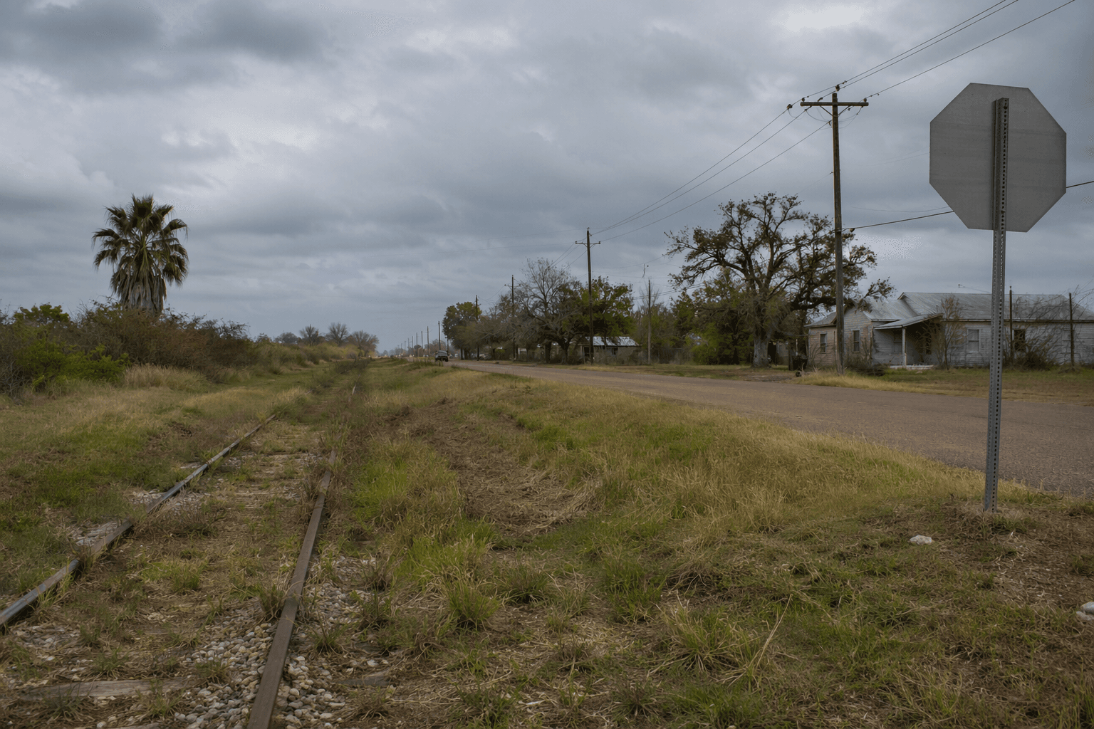
The county’s road network eventually mattered as much as the rail lines that first created places like Springfield. That shift from rail to road explains why some communities held on while others faded into scattered homes and former school sites. In Springfield, the old railroad logic is still visible in the geography itself, at the road junction where the town once had enough movement and enough people to be named on the map.
How to read Springfield today
The area still reads through its layout. The road junction, the old townsite, the places where a school once stood, and the open land around them are the surviving record of a community that was built by the Texas-Mexican Railway, filled briefly with residents, and then thinned as the county’s transportation pattern changed.
This article was produced by Prism’s automated news system from verified source data, official records, and press releases, then run through automated quality and moderation checks before publishing. The system is built and supervised by the people who set the standards it runs under. Read our full AI policy.
Know something we missed? Have a correction or additional information?
Submit a Tip