Flood Advisory Hits Southern Kauai as Statewide Watch Looms Wednesday
Saturated from two March Kona Lows, Kauaʻi entered Wednesday facing its third flood threat in a month, with Thursday and Friday forecast as the worst days statewide.

A flood advisory swept through 20 southern Kauaʻi communities Tuesday morning after the National Weather Service detected rainfall rates of 0.5 to 1.5 inches per hour on radar at 7:41 a.m., signaling the start of what forecasters say could be the most damaging storm system to hit the islands this month.
The advisory, issued by the NWS Honolulu Forecast Office and expiring at 10:45 a.m. Tuesday, covered communities spanning the southern half of the island: Līhuʻe, Kapaʻa, Kalaheo, Kekaha, Lawai, ʻŌmao, Hanapēpē, Kōloa, North Fork Wailua Trails, Poʻipū, Waimea, Wailua Homesteads, Wailua, Mana, Barking Sands, Polihale, ʻEleʻele, Kaumakani, Pakala Village, and Puhi. Residents throughout those areas were warned to expect minor flooding on roads, in poor drainage areas, and in streams.
That advisory was only the opening act. A statewide Flood Watch covering every Hawaiian island, from Kauaʻi and Niʻihau to Oʻahu, Maui, Molokaʻi, Lānaʻi, Kahoʻolawe, and the Big Island, took effect Wednesday morning and runs through Friday afternoon, April 10. NWS meteorologist Cole Evans said rains are expected to fall daily from Tuesday into the first half of the weekend, with Thursday, April 9 and Friday, April 10 forecast as the worst days. "Now is a good time to prepare for possible flooding impacts," Evans said, urging residents to take stock of emergency supplies including food, water, medications, and flashlights.
The threat driving the watch is a developing low-pressure system west of the islands, drawing deep tropical moisture northward as it strengthens. The NWS warned the system could produce significant flash flooding, road closures, and property damage in low-lying areas, with landslide risk elevated across steep terrain. Though the system carries characteristics of a kona low, meteorologists noted it is technically a developing low-pressure trough rather than a classic kona low formation.
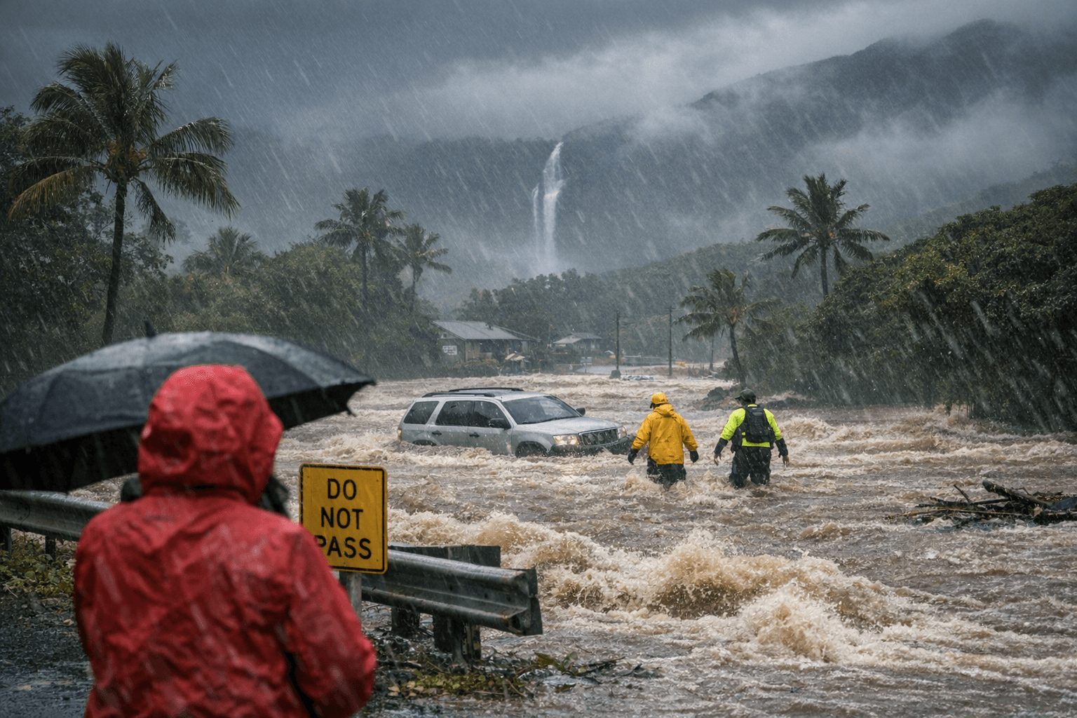
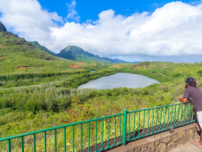
What makes the incoming system particularly dangerous is the ground it is falling on. This is the third major round of heavy rain to strike Hawaiʻi in a single month, following two back-to-back Kona Low storms that tore through the islands in March 2026. Those storms left soils across Kauaʻi and the broader state deeply saturated, a condition forecasters warn will cause even steady rainfall to quickly overwhelm drainage systems and trigger flash flooding. During the March events, Kauaʻi County officials warned that "periods of moderate to heavy rainfall could lead to significant flash flooding, especially as saturated soil increases the risk of runoff." That vulnerability has only deepened since.
With southerly winds also forecast to strengthen as the system moves over the chain, the window between Tuesday's advisory and Friday's projected peak leaves little margin for preparation across the island.
This article was produced by Prism’s automated news system from verified source data, official records, and press releases, then run through automated quality and moderation checks before publishing. The system is built and supervised by the people who set the standards it runs under. Read our full AI policy.
Did this article answer your question?