Little Knife Fire triggers READY notice along Gunflint Trail
The Little Knife Fire swelled to about 30,000 acres and pushed most of the Gunflint Trail area into READY status, with the trail’s end at SET.
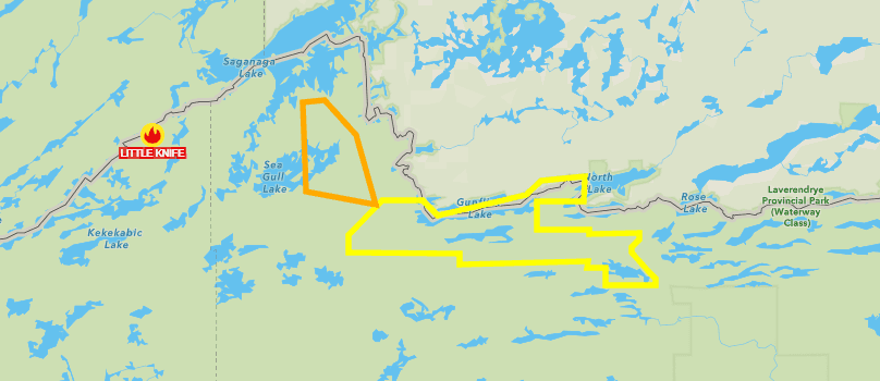
A wildfire that crossed from Canada into Lake County pushed much of the Gunflint Trail under READY status after it was renamed the Little Knife Fire in the United States. By Wednesday afternoon, the fire had grown to about 30,000 acres between the U.S. and Canada, with its most active movement along the southern edge toward Ogishkemuncie Lake.
READY means residents should prepare for a possible evacuation even if no order has been issued. Cook County also said the end of the Gunflint Trail had been upgraded to SET status, which it described as “SET to evacuate,” while areas farther down the trail and south remained under READY. That put a long stretch of the corridor into active preparation mode, rather than simple monitoring.
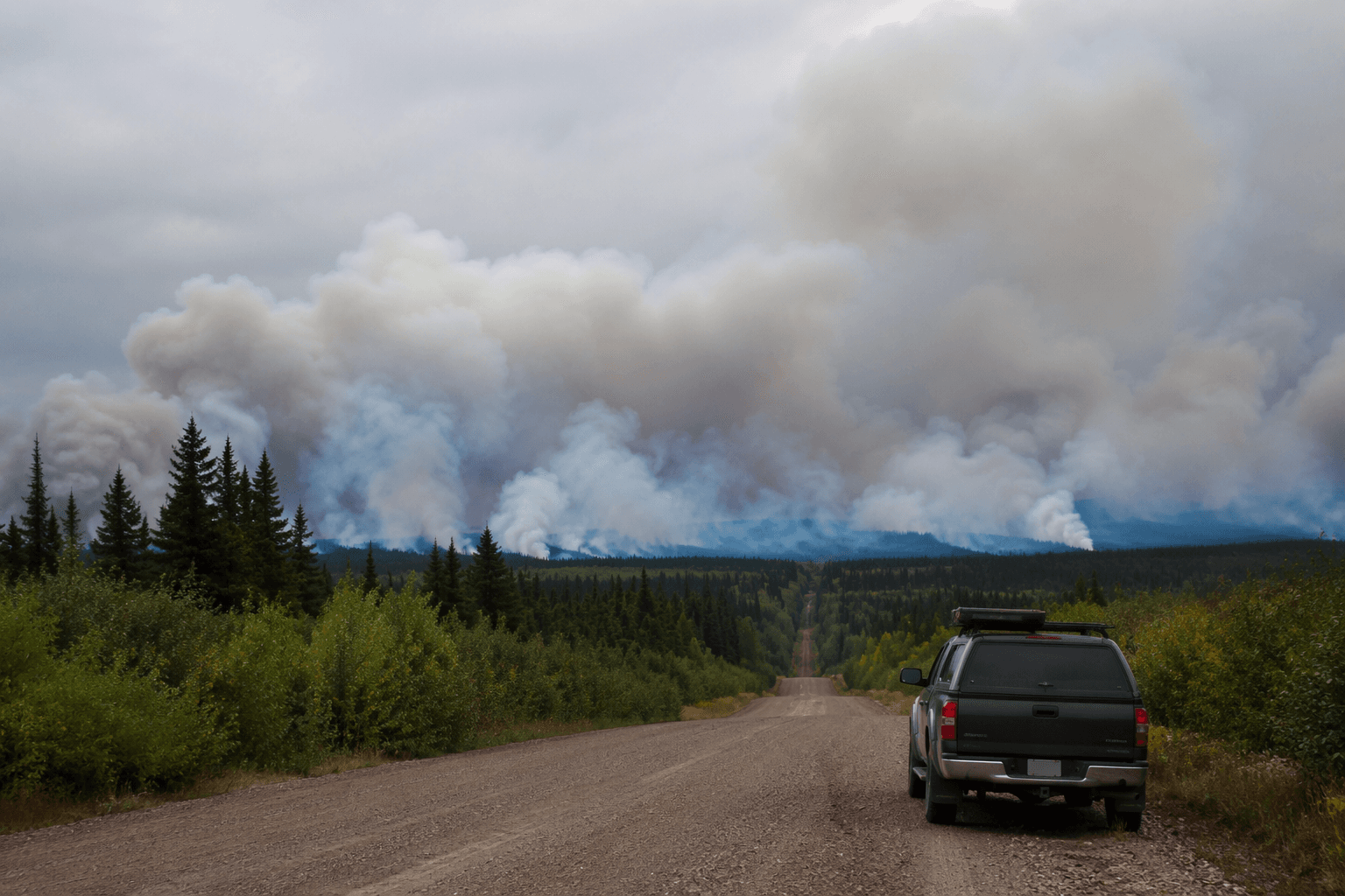
Smoke made the fire harder to assess. The U.S. Forest Service could not fly an aerial reconnaissance mission Wednesday morning because visibility was too poor, and officials hoped to get an aircraft over the fire later in the day if conditions improved. A Superior National Forest July Lightning Wildfires fact sheet said fire information was being handled through 218-881-2091 from 8 a.m. to 8 p.m. and through 2026.JulyLightningEvent@firenet.gov, and it directed evacuations to county or local law enforcement.
The change mattered immediately along the Gunflint Trail, where cabins, recreation access and steady summer traffic put people in the path of a fast-moving fire. More than 100 people attended a Gunflint Trail public meeting about the Little Knife Fire, a sign of how quickly the fire had become a community concern in both Lake County and neighboring Cook County.
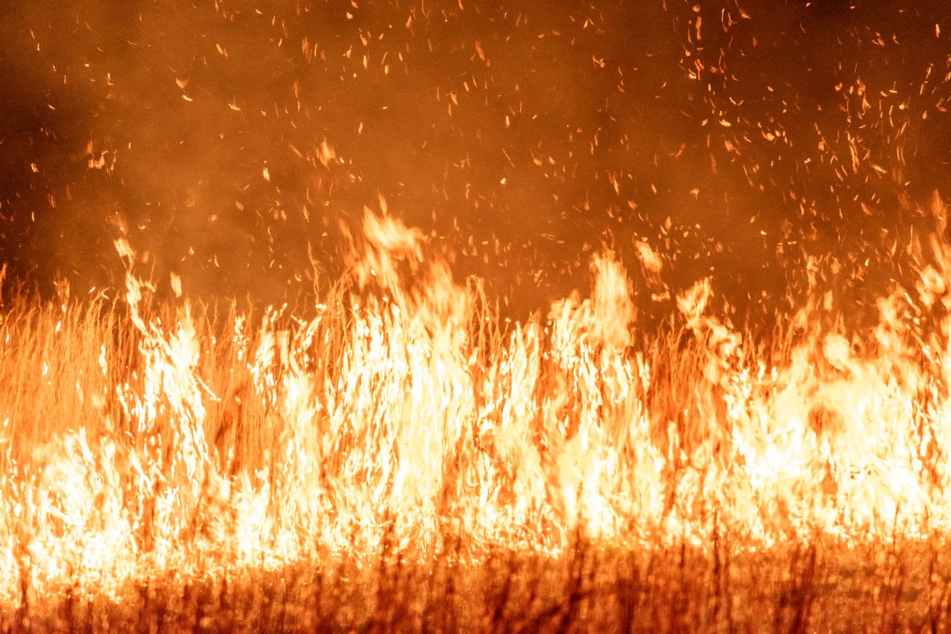
Officials also viewed the blaze as part of a longer fire season across northeast Minnesota. MPR News reported that crews expected the firefight to continue into the fall, while the Little Knife Fire remained one of several July lightning wildfires in the Superior National Forest. With the fire advancing near Ogishkemuncie Lake and smoke limiting air operations, the readiness notice gave residents and visitors a narrow window to pack, plan routes and be ready to move before conditions worsened.
This article was produced by Prism’s automated news system from verified source data, official records, and press releases, then run through automated quality and moderation checks before publishing. The system is built and supervised by the people who set the standards it runs under. Read our full AI policy.
Did this article answer your question?