Atqasuk’s layered history, from coal mining to Iñupiat traditions
Atqasuk’s past is still practical: the Meade River, coal history, and resident-led rebuilding shape how families hunt, travel, and stay supplied.

Atqasuk sits inland from the Arctic Ocean on the Meade River, and that geography still decides how families find food, move goods, and connect to one another. The village’s old hunting grounds, wartime coal seams, and resident-led rebuilding after years of decline are not museum pieces; they are part of daily life in a community that still depends on the land.
The Meade River as the village’s working map
Atqasuk is about 60 miles southwest of Utqiagvik, positioned far enough inland to feel distinct from the coast but close enough to remain tied to the broader North Slope. The North Slope Borough describes the area as a long-established hunting and fishing ground for Iñupiat people, and that history still shows in the way residents use the river and surrounding tundra.
The physical traces around the village make that past visible. Abandoned sod houses, an old cellar, and a gravesite near Atqasuk are signs that people lived and worked here long before the modern village took shape. For a place this small, those landmarks matter because they show continuity rather than isolation: Atqasuk has been a place of use, return, and survival for generations.
A coal name that still carries the village’s identity
Atqasuk’s Iñupiaq name is commonly explained as meaning “the place to dig the rock that burns,” a reference to coal. That meaning fits the village’s wartime role and helps explain why coal is not just a historical footnote here. The name ties language, land, and resource use together in a way that still fits the community’s geography.
During World War II, bituminous coal was mined in Atqasuk and freighted to Utqiagvik, then known as Barrow. The village later used the name Meade River for about a decade, and a post office operated under that name from 1951 to 1957. Those details show how closely the community’s identity has been shaped by both local resources and outside demand.
Decline, return, and rebuilding by residents
Atqasuk’s population fell enough that one community history source says there were no people in the village in 1970. The next chapter was not a top-down relocation but a resident-led return: former residents, primarily from Barrow, re-established the community around 1977. That pattern gives Atqasuk a different profile from many rural places that were built by outside planners and then left to adapt.
The village incorporated as a second-class city in 1982, formalizing a community that had already been remade by the people who chose to come back. The Iñupiat Community of the Arctic Slope describes Atqasuk as overwhelmingly Iñupiat and gives the village a mid-2010s population in the roughly 248 to 269 range, underscoring that this is a small place with a stable cultural core. Census figures show the later trajectory more clearly: 233 residents in 2010, 276 in 2020, and ACS-based profile data putting the current population around 288.
What daily life depends on now
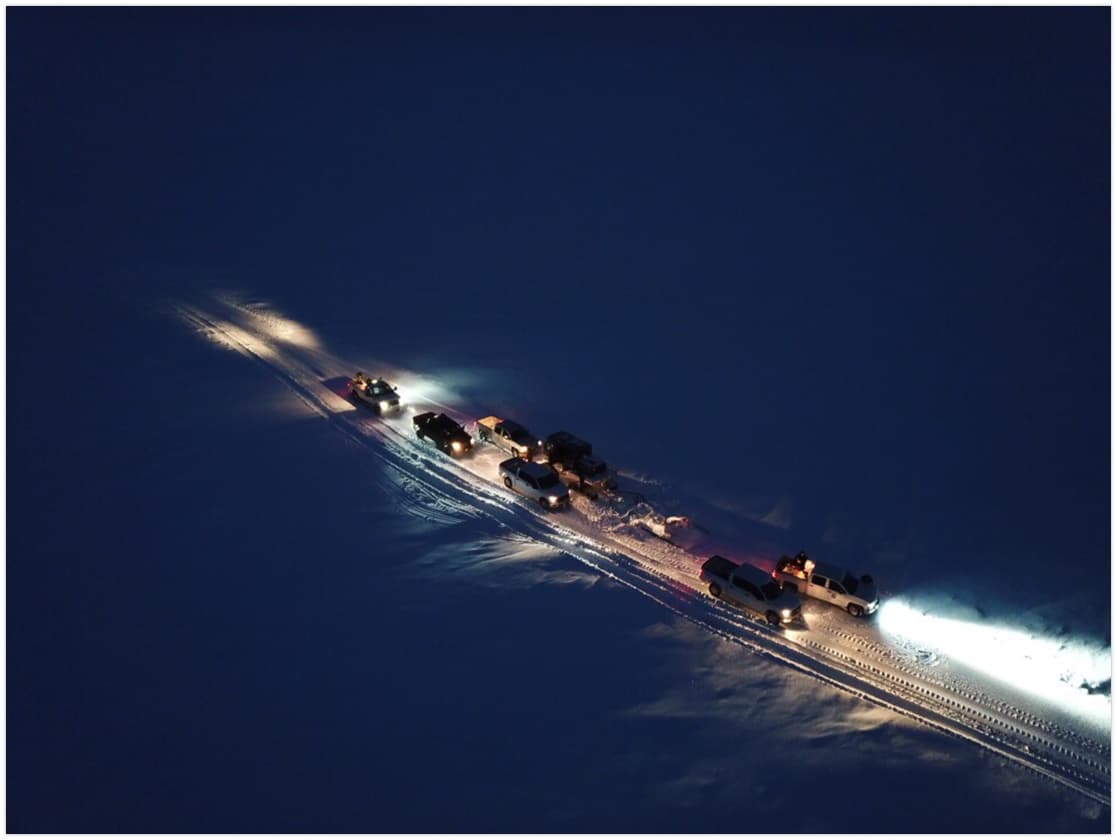
Atqasuk’s economy remains rooted in subsistence, especially caribou hunting and fishing. The Meade River supports grayling, burbot, salmon, and whitefish, while the surrounding country brings caribou, bears, ptarmigan, ducks, geese, and occasional musk-ox into residents’ seasonal routines. Berry picking also remains part of the food system, linking the village’s present-day meals to the rhythms of the tundra.
That subsistence pattern is not separate from the village’s infrastructure; it depends on it. The North Slope Borough provides electricity, water and wastewater service, and trash pickup, all of which help households manage the practical side of living in a remote Arctic community. The borough also identifies a public safety building, a fire station, and a clinic staffed by community health aides, along with the Meade River School, which serves pre-K through 12 and offers adult basic education.
Why the population count is not just a statistic
In a place like Atqasuk, population figures affect more than a line in a census table. The North Slope Borough’s community population snapshot work ties counts to health services, emergency response, public funding, and the fair distribution of resources across remote villages. When a village has fewer than 300 people, the difference between one planning cycle and the next can affect how services are staffed, how supplies are routed, and how quickly needs are recognized.
That is why the jump from 233 residents in 2010 to 276 in 2020, with ACS-based profile data near 288, matters for more than demographic curiosity. It signals the scale at which schools, clinics, utilities, and public safety have to operate. In Atqasuk, every planning decision has to match a village where the land still sets the terms, the river still shapes access, and residents still carry the responsibility for keeping the community functioning.
A village built from layers that still overlap
Atqasuk is not just a place with a past. It is a village where old hunting grounds, wartime coal mining, a period under the name Meade River, and a resident-led return all remain legible in the present. The result is a community whose daily resilience comes from knowing exactly how geography, subsistence, and self-reliance fit together on the Meade River.
This article was produced by Prism’s automated news system from verified source data, official records, and press releases, then run through automated quality and moderation checks before publishing. The system is built and supervised by the people who set the standards it runs under. Read our full AI policy.
Did this article answer your question?