Utqiagvik starts July under winter weather advisory with snow showers
A winter weather advisory covered Utqiagvik as July began, with snow showers, 33-degree air and wind chill near 25 degrees at the airport. Mixed precipitation was expected to linger into the holiday weekend.
A winter weather advisory remained in effect for Utqiagvik from June 30 at 10 p.m. AKDT through July 2 at 7 a.m. AKDT as snow showers returned over town and the runway. At Wiley Post-Will Rogers Memorial Airport, the temperature sat at 33 degrees with overcast skies, east wind around 9 mph, humidity at 82 percent, visibility of 10 miles and a wind chill near 24 to 25 degrees.
The National Weather Service forecast called for scattered snow showers through the afternoon, then scattered rain and snow showers tonight, with a cloudy high near 33 degrees. Thursday was expected to stay mostly cloudy with a high near 34 and an overnight low around 29, and cloudy weather was projected to continue into the holiday weekend. Independence Day was forecast to bring cloudy skies and a high near 35 degrees, with only a slow warmup later in the weekend.
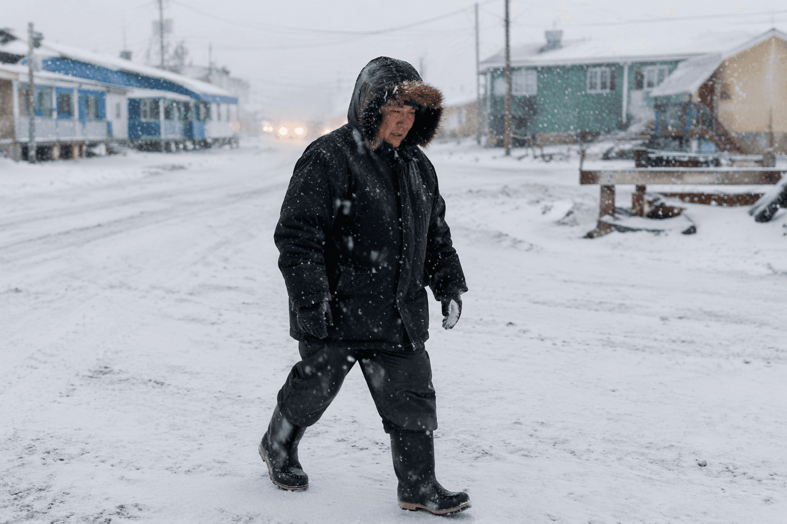
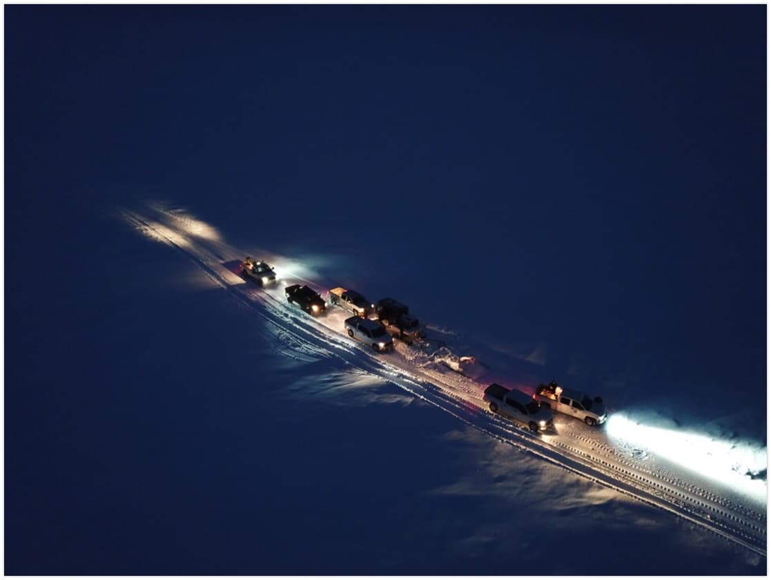
That mix of cold air, snow and rain can slow down the practical routines that run through town and across the North Slope in early July. Slick walking surfaces and reduced visibility can complicate trips to the airport, hauling cargo, moving around Utqiagvik and getting outdoor work done before the holiday weekend. It also presses on household plans for community events, subsistence chores and recreation during one of the short stretches of the year when residents try to do more outside.
The weather fit into a broader run of cold, damp conditions. The National Weather Service climate report for June 30 recorded a high of 35 degrees, a low of 31 degrees and 0.04 inches of precipitation in Utqiagvik, along with light rain, fog and a highest wind gust of 16 mph from the west. The same report listed 24 hours of daylight for both June 30 and July 1, a reminder that winter conditions can settle in even under continuous daylight on the North Slope.
June’s daily climate data for Utqiagvik, also called Barrow in the climate record, showed a variable month with temperatures bouncing through the 20s, 30s, 40s and even 50s at times, along with several trace or measurable precipitation events that included snow and mixed precipitation. Airport observations over the previous three days showed repeated overcast skies and fog or mist, with temperatures generally in the 20s and a trace of light snow on June 26. NOAA says climate normals are based on a uniform 30-year period and are used as the benchmark for comparing current weather to typical conditions.
This article was produced by Prism’s automated news system from verified source data, official records, and press releases, then run through automated quality and moderation checks before publishing. The system is built and supervised by the people who set the standards it runs under. Read our full AI policy.
Did this article answer your question?