Flood advisory targets Colville River corridor near Nuiqsut
Minor flooding was already underway on the Colville River from Umiat to Nuiqsut, where a high-water crest near Umiat was moving downstream toward Nuiqsut.

Minor flooding was already underway along the Colville River from Umiat to Nuiqsut on Tuesday morning, and the National Weather Service kept its flood advisory in place through 8:45 a.m. Friday, June 19. The alert covered the river corridor that links Nuiqsut to summer travel, subsistence access, and the movement of people and supplies in one of the North Slope’s most isolated communities.
The National Weather Service in Fairbanks issued the advisory Monday, June 16, at 8:58 a.m. AKDT. The advisory said rain and snowmelt were driving the flooding, with minor flooding expected in low-lying areas as temperatures rose quickly and rain continued to fall on residual snowpack. By Wednesday afternoon, the Colville at Umiat had crested, and downstream locations were expected to crest over the next 36 hours.
Weather alert updates put up to 1.5 inches of rain in the Colville headwaters early in the week, and that runoff rapidly melted the remaining snowpack in the Brooks Range. The combination pushed river levels high enough to produce bankfull conditions along stretches of the Colville, raising the risk for river travel and for low-lying ground near the channel through the rest of the week.

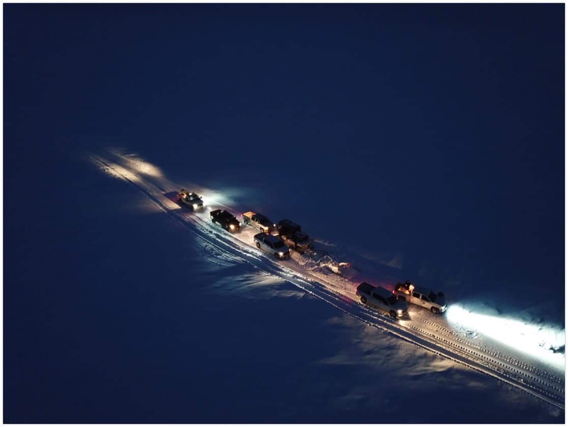
For Nuiqsut, the advisory carried immediate practical consequences. The village had a population of 512 in the 2020 Census and sits on just 8.9 square miles of land, leaving few alternatives when the Colville corridor becomes difficult to use. The river is part of the route for barge resupply, hunting and fishing access, and the daily logistics that keep equipment, cargo, and people moving in a roadless place. When water rises, residents have to adjust travel timing, watch conditions near camps, and be ready for delays that can ripple through the community.
Ice jam concerns on the Colville have included a known seven-mile-long jam downstream of Ocean Point and a smaller jam near Horseshoe Bend, about nine river miles upstream from Nuiqsut.
This article was produced by Prism’s automated news system from verified source data, official records, and press releases, then run through automated quality and moderation checks before publishing. The system is built and supervised by the people who set the standards it runs under. Read our full AI policy.
Did this article answer your question?