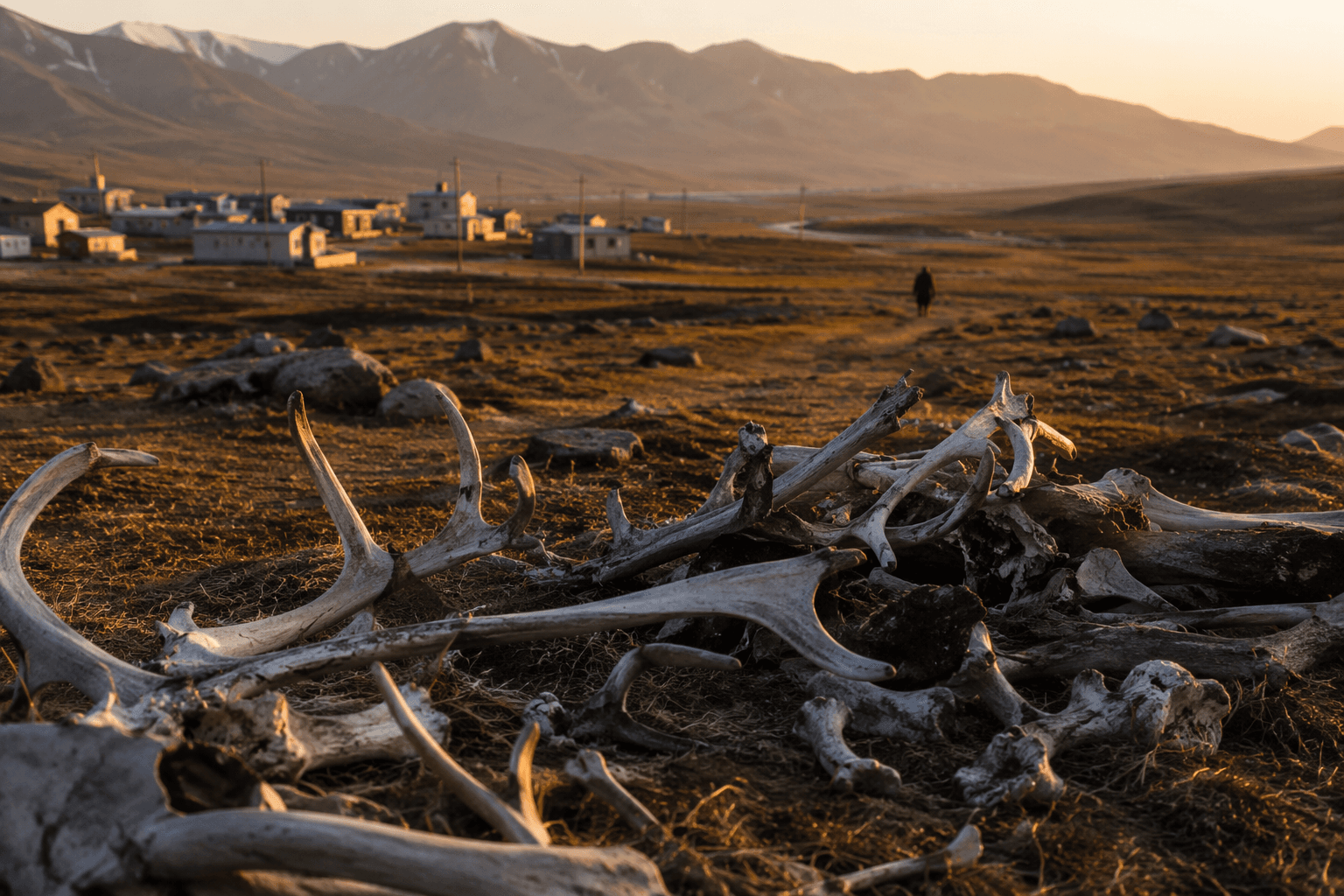
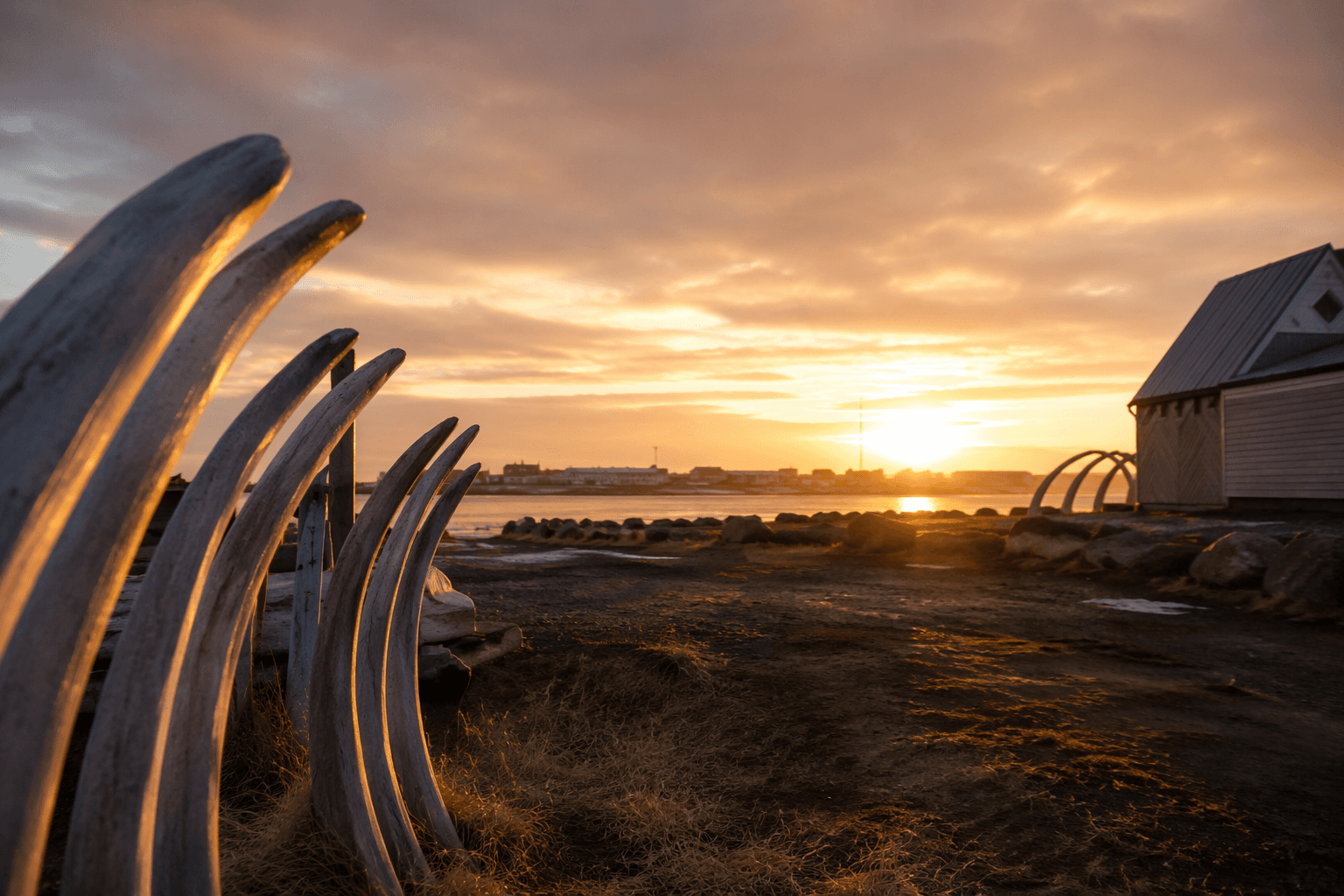
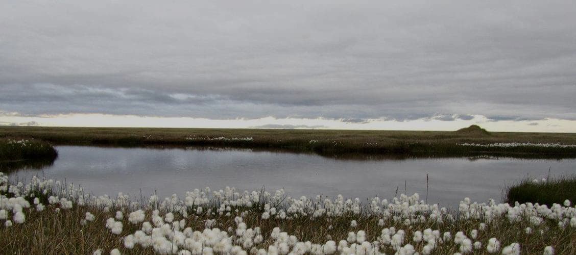
Point Hope sits on 15-mile spit into Chukchi Sea
Point Hope’s 15-mile spit into the Chukchi Sea shapes everything from storm exposure to airport planning for the 815 residents of Tikiġaq.
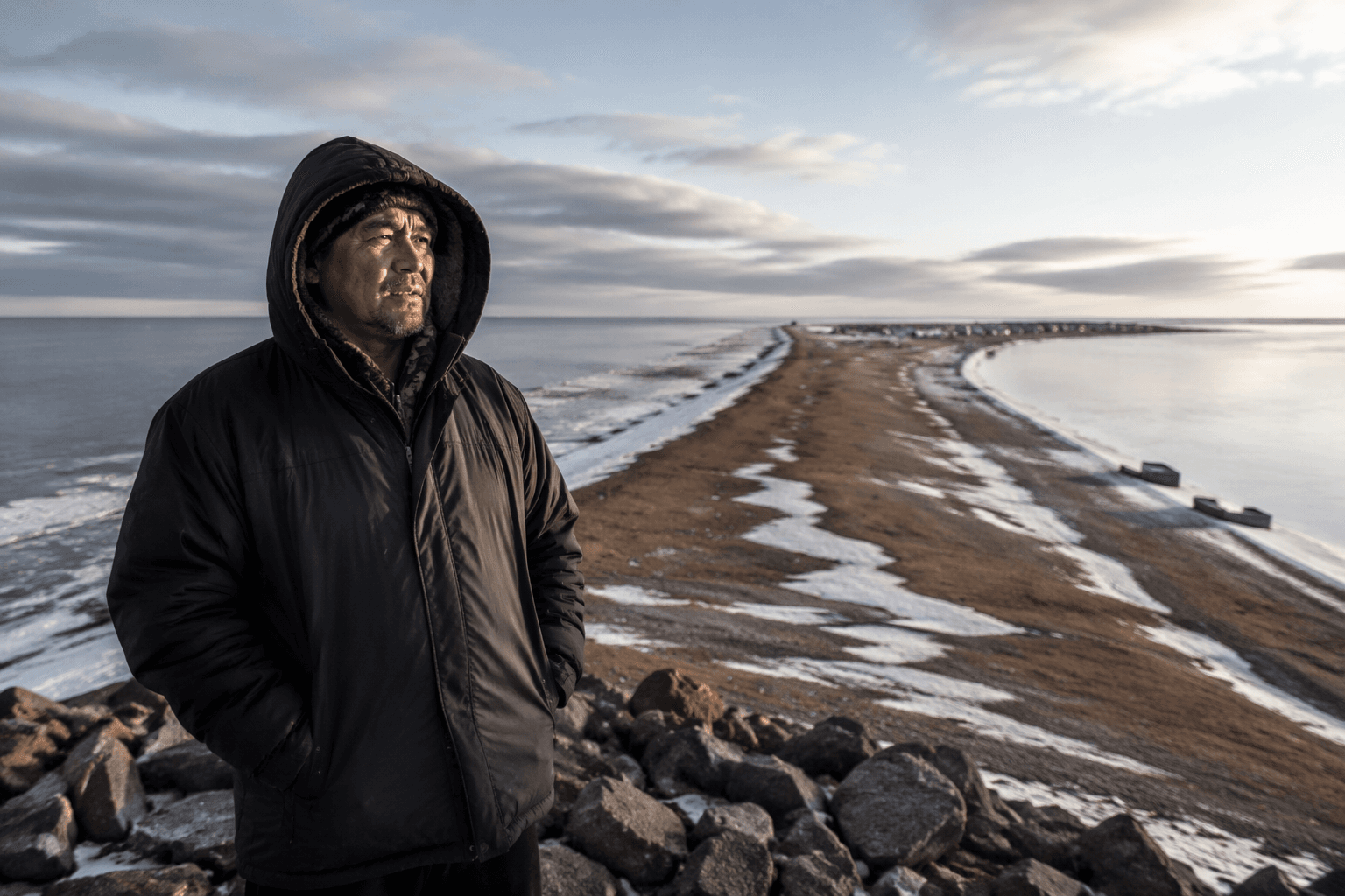
Point Hope sits at the end of a long, triangular spit that runs about 15 miles into the Chukchi Sea, and that geography defines daily life before any other fact does. The village’s position leaves homes, roads, services and travel routes exposed to wind, water and coastal change, while also tying the community tightly to the ocean and subsistence work. For the North Slope Borough, that location is not just a map detail. It is the starting point for understanding safety, access and survival in one of Alaska’s most remote coastal settlements.
A village shaped by a narrow peninsula
The North Slope Borough places Point Hope near the end of that spit, and Arctic Slope Native Association lists the population at 815. Point Hope is also known by its Iñupiaq name, Tikiġaq, and the Iñupiat Community of the Arctic Slope describes it as “standing sentinel at the end of a narrow peninsula...” That image fits the village’s physical reality: a small community on the western coast of the Arctic Slope region, facing the Chukchi Sea with little buffer from the weather.
That setting makes Point Hope different from inland communities that can lean on road corridors, protected terrain or easier utility access. In a part of Alaska where places are separated by large distances and often lack road access to one another, the village’s spit location affects everything from emergency response to the way fuel, freight and people move. The sea is both a route and a risk, and the coastline is a working edge rather than a scenic backdrop.
Why place matters for daily survival
The community page’s plain geography explains many of the pressures residents live with every season. Storm exposure is higher on a narrow coastal feature, and marine conditions can complicate travel, subsistence activity and the delivery of basic services. Housing, roads, emergency planning and public works all have to account for the same underlying fact: Point Hope occupies land that projects into a dynamic Arctic sea.
That makes the borough’s location description useful well beyond orientation. Residents, public agencies and outside visitors all need a stable reference point for where the village is and why it faces the challenges it does. In Point Hope, even a short official profile carries operational weight because the geography shapes how people get around, how supplies arrive and how local institutions plan for bad weather or changing shoreline conditions.
The result is a community where coastal life is not abstract. It is built into daily routines, from the timing of trips to the conditions that determine whether travel is safe at all. The spit’s exposure also means that any discussion of services, infrastructure or public safety in Point Hope has to start with the land itself.
Deep history on the Arctic coast
Point Hope is not only significant for present-day logistics. University of Cambridge Museums says Tikiġaq, or Point Hope, is believed to be the longest continuously occupied settlement in North America, with more than 2,500 years of recorded history. That long record makes the village one of the most enduring inhabited places on the continent and adds archaeological and cultural depth to its modern coastal setting.
For residents, that history turns the spit into more than a planning challenge. It is a living homeland with continuity stretching across generations, linking today’s village to a much older pattern of settlement on Alaska’s North Slope. The same geography that complicates service delivery has also supported a long human presence, which helps explain why the village remains central to local identity and regional memory.
Erosion, flooding and coastal change are not new here
The Arctic shoreline around Point Hope has been the subject of formal attention for years. The Alaska Department of Natural Resources Division of Geological and Geophysical Surveys published an Erosion Exposure Assessment for Point Hope in 2021, reflecting the level of concern around coastal instability. The U.S. Army Corps of Engineers’ erosion information paper adds a crucial piece of history: the original Point Hope town site was damaged by flooding and erosion before the mid-1970s.
Those facts show that coastal change is not a distant future problem. It has already altered where the community can safely live and build. Engineering With Nature also published an article on March 15, 2022, describing coastal resilience efforts in Point Hope, underscoring that erosion and storm impacts remain active community concerns rather than one-time events. In Point Hope, resilience has to mean adapting to a shoreline that can shift under pressure from wind, water and thawing ground.
Planning for services on 20.78 square miles
The North Slope Borough’s 2023 Multi-Jurisdictional Hazard Mitigation Plan includes a Point Hope appendix that covers 20.78 square miles of community land area. That scale matters because it shows how much land, infrastructure and risk planning must be folded into one settlement perched at the edge of the Chukchi Sea. Even in a village with a relatively small population, the footprint of community land is large enough to require careful coordination of housing, utilities, transport and emergency response.
The Point Hope airport is a clear example of how the geography translates into infrastructure decisions. An Alaska Department of Natural Resources project fact sheet for airport improvements mentions a passenger shelter, runway realignment, runway safety area upgrades, an NDB antenna replacement and aviation radar. It also points to the possibility of eventually relocating the airport farther inland, a strong sign that planners are working around the realities of erosion, weather and shoreline instability.
Airport planning is not a side issue in Point Hope. When roads are limited and the sea is unreliable, aviation becomes a lifeline for people, freight and emergency access. The fact sheet’s list of improvements shows how much engineering and public investment is required just to keep the village connected.
A place where geography drives policy
Point Hope’s official borough profile may be concise, but its implications reach into nearly every public decision affecting the village. The spit into the Chukchi Sea explains the exposure, the isolation and the need for constant adaptation. It also helps frame why coastal resilience, airport design, hazard mitigation and service delivery are so closely linked here.
For a community of 815 people with more than 2,500 years of history behind it, geography is not background information. It is the condition that shapes how Point Hope lives, builds, travels and plans for the future.
This article was produced by Prism’s automated news system from verified source data, official records, and press releases, then run through automated quality and moderation checks before publishing. The system is built and supervised by the people who set the standards it runs under. Read our full AI policy.
Did this article answer your question?