Snowmelt and rain raise North Slope rivers, travel hazards increase
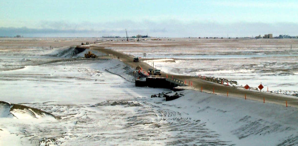
Rain on lingering snowpack put the Dalton Highway, Kuparuk, Sag and Colville corridors under flood watch, with the Kuparuk Bridge approach a known choke point.
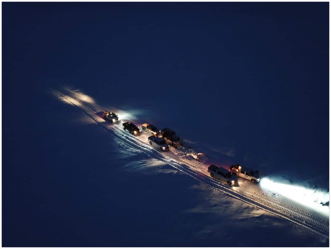
Rain falling on a slow-melting North Slope snowpack raised the risk of fast river rises along the Dalton Highway, the Sag, Colville and Kuparuk rivers and their tributaries. The National Weather Service warned that flooding from rain and snowmelt could disrupt roads, airstrips, low-lying infrastructure and bank stability near travel routes, turning breakup into a travel problem as much as a weather story.
The shift came after the Alaska-Pacific River Forecast Center said on May 29 that attention had moved to the North Slope because an above-average snowpack had been slow to melt during a colder-than-normal spring. Snow depths across the region were generally 1 to 3 feet, and breakup was expected to begin over the next week or two as temperatures warmed.
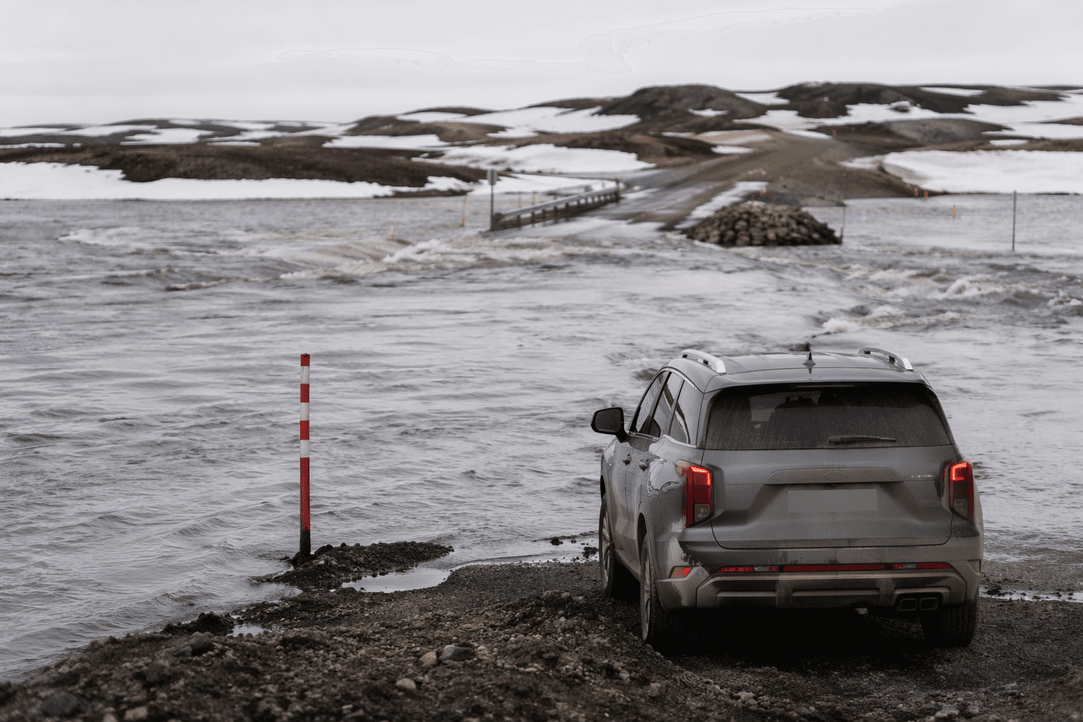
By June 15, NWS Fairbanks said rainfall of about 1 inch or more was expected in parts of the Brooks Range and North Slope, with rain, warming temperatures and added snowmelt all able to push rivers higher. The flood watch remained in place through Wednesday morning and covered the Dalton Highway, the Sag, Colville and Kuparuk rivers and their tributaries. That is the zone where a change in river stage can quickly affect hauling, field travel, subsistence movement and schedules for work crews moving between camps, villages and industrial sites.
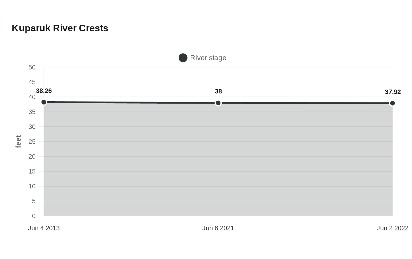
The Kuparuk River near Deadhorse shows why the concern is so concrete. NOAA’s National Water Prediction Service says minor flooding can reach the Kuparuk Bridge approach during breakup ice-jam conditions when the river reaches 35.5 feet. Historic crests have climbed well above that mark, including 38.26 feet on June 4, 2013, 38.00 feet on June 6, 2021, and 37.92 feet on June 2, 2022.
For the North Slope Borough, the stakes stretch across a wide region of communities and work sites, from Utqiagvik and Point Hope to Wainwright, Atqasuk, Kaktovik, Nuiqsut, Point Lay and Prudhoe Bay. The borough works with tribes, cities, corporations, schools and businesses across that landscape, and a river rise on one corridor can ripple into village access, freight movement and safety decisions far beyond the waterline. The flood watch urged residents to monitor later forecasts and be ready to take action if flooding developed.
This article was produced by Prism’s automated news system from verified source data, official records, and press releases, then run through automated quality and moderation checks before publishing. The system is built and supervised by the people who set the standards it runs under. Read our full AI policy.
Did this article answer your question?