Cannelton Listed Among Hundreds of Cities in March Hail and Wind Event
Cannelton was among 844 cities flagged by storm tracker HailTrace when hail, wind, and tornado threats swept across the central and southern U.S. on March 15.
Cannelton appeared on a list of roughly 844 cities affected by a significant storm system that moved through the central and southern United States on March 15, 2026, bringing hail, wind, and tornado threats across a wide geographic area.
Storm tracking service HailTrace mapped the event and catalogued the affected communities, placing Cannelton among the hundreds of cities documented in the system. HailTrace specializes in mapping hail and severe weather events, and its data is commonly used by insurance adjusters, roofing contractors, and property owners assessing potential storm damage after a system passes through.
The March 15 event was notable for its geographic reach, spanning a broad swath of the region with multiple hazard types recorded simultaneously. The combination of hail, damaging wind, and tornado activity in the same system reflects the type of complex, multi-threat severe weather that becomes more common as spring storms intensify across the Midwest and South.
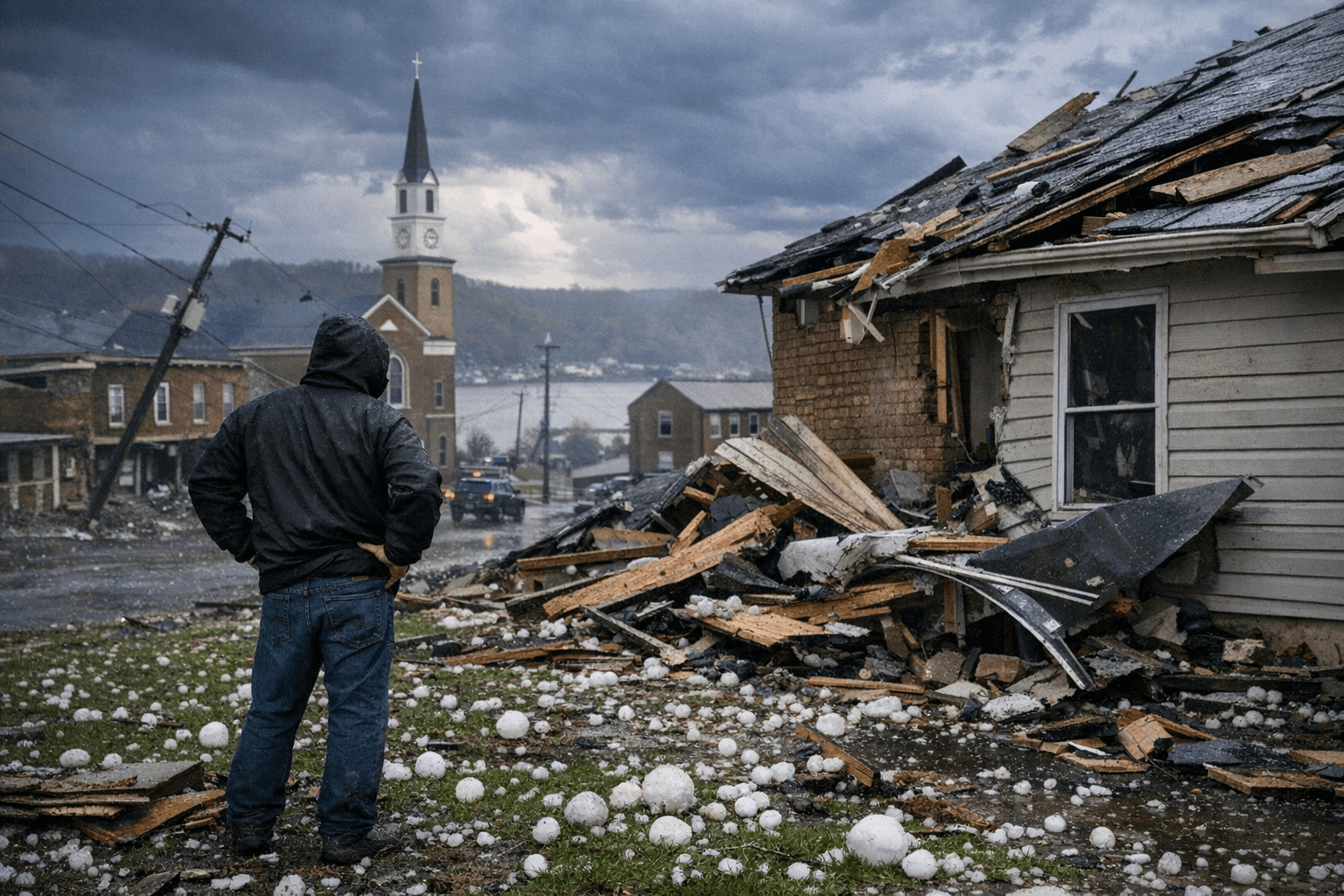
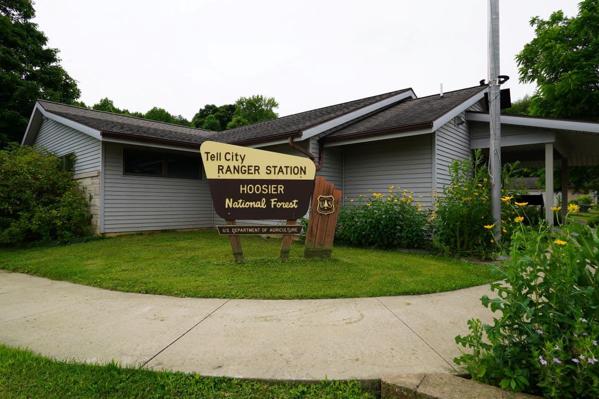
For Cannelton, a small Ohio River city in Perry County, inclusion on the HailTrace map signals that the area fell within the documented storm footprint. Property owners who suspect damage from the event can use HailTrace's platform to verify whether their specific address falls within the tracked hail or wind path, which can be relevant when filing homeowner's insurance claims. Insurers and contractors frequently reference such mapping data when prioritizing inspections following large-scale events.
Perry County residents with visible roof, vehicle, or property damage from March 15 should document conditions promptly, as storm-related claims are typically stronger when filed close to the event date.
This article was produced by Prism’s automated news system from verified source data, official records, and press releases, then run through automated quality and moderation checks before publishing. The system is built and supervised by the people who set the standards it runs under. Read our full AI policy.
Did this article answer your question?