Hot, humid storms could bring flooding and 60 mph winds this week
Storms could come in waves, with 60 mph winds, heavy rain and heat indexes near 105 threatening Tell City, Cannelton and Troy.

Heat, humidity and a string of storm rounds are lining up for Perry County, with the hardest impacts most likely during the afternoon and evening windows when storms can strengthen fast. Tell City, Cannelton and Troy are in the path of a pattern that could bring brief heavy downpours, lightning, gusty winds and quick travel disruptions on low-lying roads near the Ohio River.
Forecasters said temperatures are climbing toward 90 degrees, but the muggy air will make it feel closer to 100 by midweek and, in some spots, as high as 105. The bigger concern is that storms are expected to move through in waves rather than as one long, steady rain, so one neighborhood may dry out while another gets hit with a hard burst of rain and lightning. The first round carries the main severe threat, with damaging wind gusts up to 60 mph and enough rain in a short time to cause ponding and flash flooding.
The pattern does not end after the first storms pass. Another system is expected late Thursday into Friday ahead of a cold front, bringing another chance for heavy rain and gusty winds. That kind of repeated rainfall is what keeps flood risk elevated, especially in places that already struggle with runoff, ditches, and drainage during summer storms. For Perry County households, that means the threat is not just one rough storm, but several chances for weather to disrupt commutes, outdoor work, and evening plans.

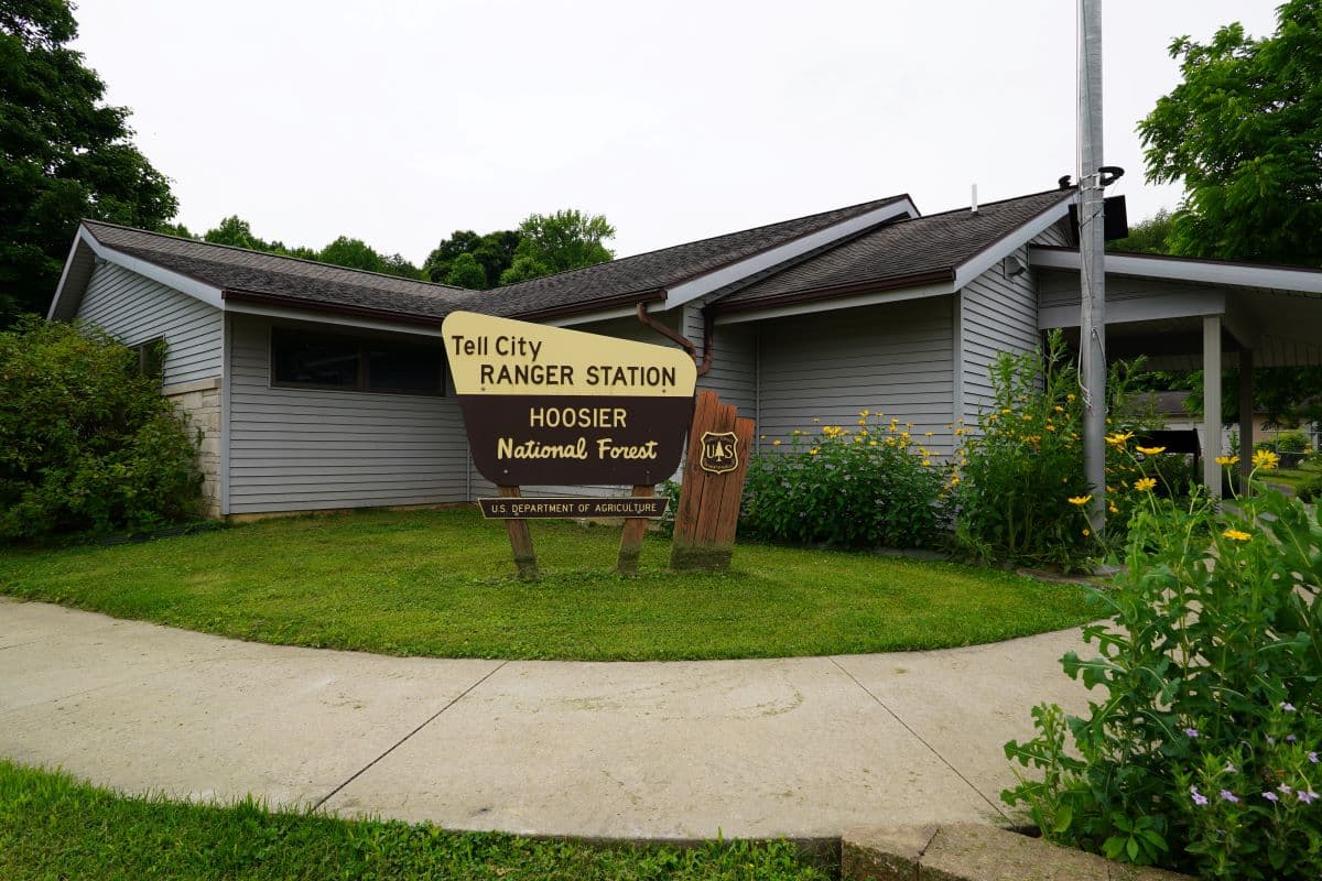
Local emergency planning is built around that kind of fast-changing weather. Perry County Emergency Management Agency says the county is a StormReady community and uses the CodeRED Weather Warning system, with its office in Tell City focused on mitigation, preparedness, response and recovery. Indiana defines severe weather as storms with wind gusts of at least 58 mph or hail of at least 1 inch in diameter, and any storm that produces lightning can be dangerous.
Residents can track flood concerns through the Indiana Floodplain Information Portal, which maps floodplains and flood elevation points, and through U.S. Geological Survey flood tools that help judge road closures, evacuations and recovery needs. Perry County also sits on the Ohio River flood-monitoring network, including the Tell City gauge, giving local officials another layer of information when river levels rise. With heat, wind and repeated rain chances all stacking up, the safest move is to stay close to warnings and finish outdoor plans before the next round builds.
This article was produced by Prism’s automated news system from verified source data, official records, and press releases, then run through automated quality and moderation checks before publishing. The system is built and supervised by the people who set the standards it runs under. Read our full AI policy.
Did this article answer your question?