Rockwall’s namesake wall still blurs legend and geology
Rockwall County’s namesake wall is still visible in pieces downtown, while the buried formation on private land keeps the legend-versus-geology debate alive.

The formation that gave Rockwall County and the city of Rockwall their name is easier to trace than to see in full. What survives in public view is a carefully preserved fragment at the Rockwall County Historical Foundation & Museum, another piece at the Rockwall County Historic Courthouse, and a story that still splits legend from geology. Most of the original wall remains buried on private property, which is why the county’s mystery is best understood as something you can visit in pieces, not as a single surviving monument.
Where the wall is visible today
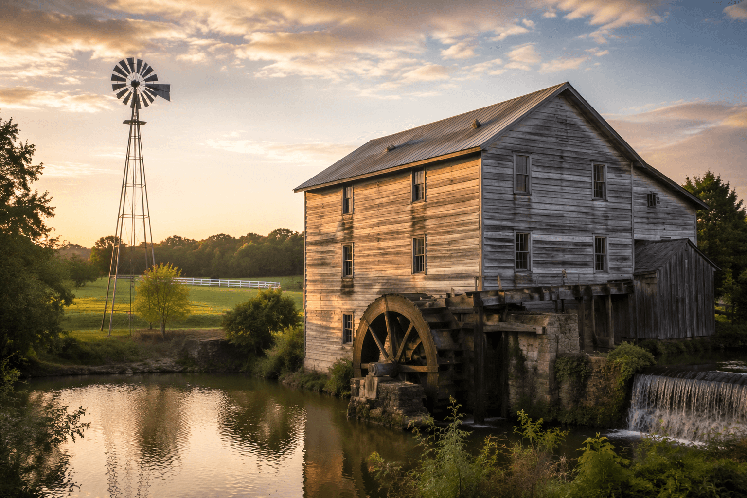
The most useful stop is the museum grounds in Harry Myers Park in downtown Rockwall. The museum says the site includes a reconstructed wall segment, and one original wall section was removed from its original location and rebuilt there. The grounds also hold early county structures, a tenant cabin, the Hartman Windmill, a replica carriage house, an outhouse, a gazebo, and a Blackland Prairie grassland preservation area, so the visit works as both a geology stop and a county-history walk.
A second public trace sits at the Rockwall County Historic Courthouse, where reconstructed wall segments are also displayed. That matters because the wall is not something visitors can walk up to in its natural setting. The museum is explicit that the in-situ walls are buried on private property and closed to the public, so the county’s namesake feature is visible only through reconstructed pieces and historical interpretation.
How the county got its name
Rockwall County is Texas’s smallest county by area, at 147 square miles, and the county was created in 1873 out of Kaufman County. The county’s own history places Caddo Indians and later Creek Indians in the area before Anglo-American settlement, with the first Anglo-Americans arriving in the 1840s. That longer timeline matters because the wall did not emerge in an empty landscape; it became part of a place already shaped by earlier communities and later settlers.
The city of Rockwall says the town was officially platted on April 17, 1854, after T.U. Wade suggested the name from the strange rock formation. The museum’s account goes a step further, crediting the 1852 discovery to Benjamin Boydstun, Terry Utley Wade, and William Clay Stevenson. Those names anchor the wall in a specific local memory, not just a general frontier tale, and they explain why the county and city still carry the formation in their identity.
What scientists made of it
The Rock Wall has attracted scientific attention for more than a century. Geologist Richard Burleson examined exposed sections in 1874, and Dr. Robert T. Hill later classified the formation in 1901 as clastic sand dykes. Sidney Paige’s article in Science, published on November 12, 1909, described the structure as a set of disconnected sandstone dykes rather than a man-made wall. That sequence is the clearest evidence that the wall’s reputation changed as more geology was brought to bear on it.
The museum’s historical timeline also points to the 1933 map created by Martin Kelsey and Harold Denton, with help from Rockwall County surveyor J.S. Mason. That map identified 11 known outcroppings of the formation, which shows that the wall was not remembered as a single isolated curiosity but as a spread of points across the county. A 1936 excavation reportedly drew an average of 70 visitors per day, a reminder that public fascination with the site was already strong long before today’s heritage displays.
Legend on one side, geology on the other
The county’s official history now says scientists identify the wall as a natural formation, even though local folklore long claimed prehistoric builders created it. That tension is the heart of the Rockwall story. The legend persists because the formation looked so unusual to early residents, while the geologic explanation holds because field study and later classification placed it among natural sandstone dykes.
The result is a local identity built on both evidence and imagination. Some secondary histories have used the wall to fuel broader claims about an “oldest civilized community” in Texas, which shows how the feature has been used as a symbol as much as a specimen. For Rockwall County, the wall is not just a curiosity from the past. It is the name on the courthouse, the origin of the city’s branding, and a reminder that the county’s most famous landmark survives mostly as a set of fragments and records.
A practical way to trace it now
If you want the most direct route through the mystery, start with the museum in Harry Myers Park, then move to the courthouse display. That gives you the widest public look at the wall without crossing onto private land, and it places the geology beside the county structures that explain how Rockwall turned the wall into civic identity.
- At the museum, look for the reconstructed segment, the rebuilt original segment, and the preserved historic grounds.
- At the courthouse, look for the second reconstructed display tied to the county seat.
- Treat any in-place wall references as off-limits, because the buried sections remain private and closed.
For a county that covers only 147 square miles and had 107,819 residents in the 2020 census, the wall is a compact but durable marker of place. Rockwall County has grown, the science has shifted, and the legend has been narrowed, yet the namesake formation still sits at the center of how the county explains itself.
This article was produced by Prism’s automated news system from verified source data, official records, and press releases, then run through automated quality and moderation checks before publishing. The system is built and supervised by the people who set the standards it runs under. Read our full AI policy.
Did this article answer your question?