Aztec self-guided tour turns Animas River corridor into history lesson
Start at Aztec Museum & Pioneer Village, then follow the Animas River corridor through downtown, the river trail, and Aztec Ruins for a compact history loop.
The easiest way to spend a day in Aztec is to follow the Animas River corridor with the city’s self-guided walking and biking tour in hand. Start at Aztec Museum & Pioneer Village, open Tuesday through Saturday from 10 a.m. to 4 p.m., then trace the route outward through downtown and along the river to see how the town grew around water, travel, trade, and settlement.
Start with the museum, then let the route do the teaching
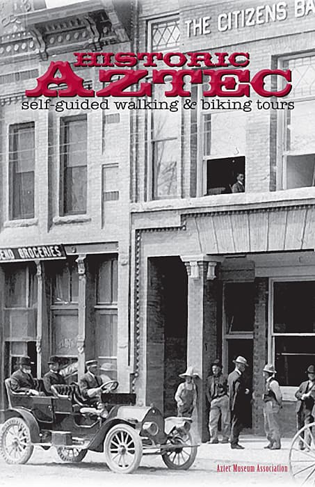
The guide is titled *Historic Aztec Self-Guided Walking & Biking Tours*, and its central idea is plain: “For a thousand years men and women have settled along the Animas River.” That framing turns the river corridor into the main exhibit, not just the backdrop, and it gives the route a practical shape for a weekend outing. If you want the fastest way to understand Aztec’s layout, beginning at the museum gives you the local context before you step back into the streets and trails.
Aztec Museum & Pioneer Village is the most convenient launch point because it already anchors the town’s historic interpretation. The museum’s walking tour listing makes it clear that the material is meant to be accessible on a normal visit, not reserved for a special program. From there, the self-guided format lets you move at your own pace, whether you are on foot or on a bike.
What makes the guide credible
This is a community-made route, not a generic pamphlet. Vicky Ramakka researched and compiled the guide, while Anna Chavez handled graphic design and Daniel R. Hise handled layout design through Aztec Media Corp. Historic photographs are credited to the Aztec Museum Association, the San Juan Historical Society, and the National Park Service, which gives the tour a local documentary backbone.
Those credits matter because they show how Aztec history has been assembled from multiple institutions rather than a single narrative. The museum, the historical society, and the National Park Service each contribute different kinds of evidence, from photographs to curated interpretation, and the guide brings them together into one route that can be used by residents, visitors, and anyone trying to read the town through its streets.
Why the Animas River corridor is the right lens
The route works because Aztec’s development follows the river. The guide’s opening line about a thousand years of settlement along the Animas River points to a long pattern of human use built around food, trade, transportation, entertainment, and spiritual observances. That is the kind of history you can see in the landscape itself, not only in a display case.
That broader corridor is still part of how the city thinks about itself. The City of Aztec adopted its Downtown Metropolitan Redevelopment Area Plan in June 2018, and the city’s Animas River Trails System appears in a 2024 plan. Together, those documents show that the river edge is not just a relic of the past; it remains part of current planning for downtown access, movement, and recreation.
Where the route connects with bigger regional history
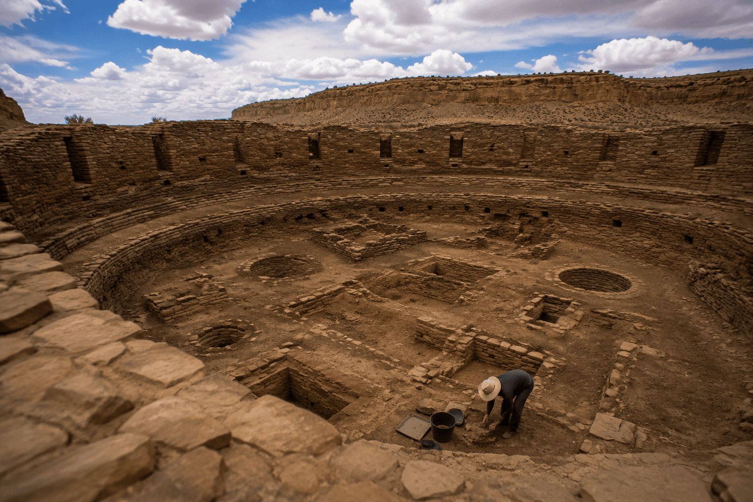
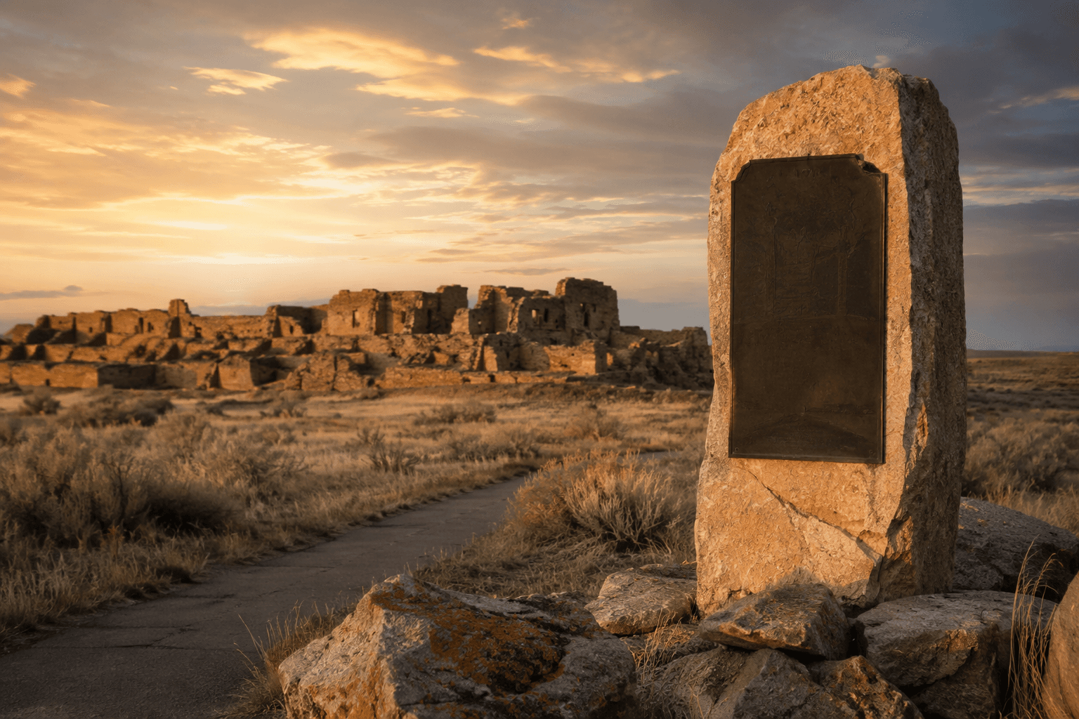
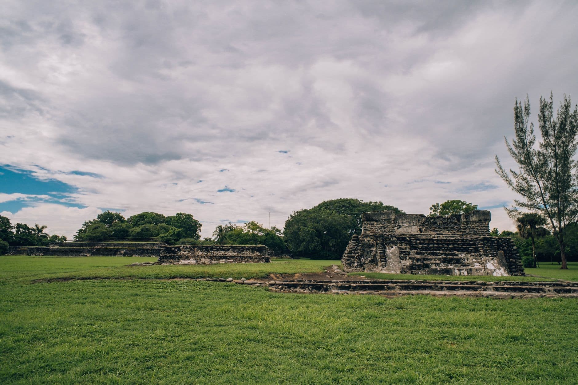
The self-guided tour gains more depth when it is paired with the National Park Service’s interpretation at Aztec Ruins National Monument. The monument preserves a nearly 900-year-old Ancestral Puebloan settlement, and the Animas River Trail at the monument is an NPS-managed interpretive trail tied to the same corridor. That connection helps put Aztec in a larger historical frame that stretches from ancient settlement patterns to today’s walking and biking routes.
The river itself also helps explain why this place mattered. National Park Service materials describe the Animas River as running south from the La Plata Mountains, through the region near the New Mexico state line, and into the San Juan Basin. That geography shaped where people lived, moved, and built, and it still shapes how the corridor is interpreted today.
How to use the guide as a practical outing
The self-guided tour is flexible enough to work as a short downtown stop or a longer half-day outing. If you only have a few hours, start at Aztec Museum & Pioneer Village, then follow the route through downtown to see how the city’s built environment sits against the river corridor. If you want the fuller experience, continue toward the Animas River Trail at Aztec Ruins National Monument, where the landscape itself becomes part of the lesson.
A useful way to read the route is to look for three things:
- the river, which explains settlement and movement
- the downtown grid, which shows how modern Aztec grew around older patterns
- the trail and monument, which connect local history to regional and ancestral history
That structure makes the outing more than a list of landmarks. It becomes a way to understand why Aztec developed where it did and why the corridor still matters to civic planning, heritage tourism, and daily recreation.
A local history route built for residents and visitors alike
The New Mexico Tourism Department lists the Aztec Museum Association as a tourism destination, which places the museum and its tour within the region’s visitor network. That makes the self-guided route useful not only for people passing through San Juan County, but also for locals who want a low-cost way to revisit familiar streets with better context. Because the guide is built around the corridor rather than a single monument, it can be used in pieces or as a fuller loop.
That is what gives the tour its value in Aztec: it links the museum, downtown, the river trail, and Aztec Ruins into one readable landscape. The history is not locked away in one building or one era. It is still laid out along the Animas River, where the town began and where its story remains easiest to see.
This article was produced by Prism’s automated news system from verified source data, official records, and press releases, then run through automated quality and moderation checks before publishing. The system is built and supervised by the people who set the standards it runs under. Read our full AI policy.
Did this article answer your question?