Mesabi Trail guide spotlights St. Louis County stops from Nashwauk to Gilbert
The Mesabi Trail turns one ride into a tour of Iron Range towns, with a 55.4-mile Nashwauk-to-Gilbert stretch that links Chisholm, Virginia and Gilbert.
The Mesabi segment from Nashwauk to Gilbert runs 55.4 miles through Chisholm, Virginia and Gilbert. In St. Louis County, it works as a moving guide to mining history, town centers, bridge views and small-business stops, all stitched together between Nashwauk and Gilbert. The full system stretches from the Mississippi River in Grand Rapids to the Boundary Waters Canoe Area Wilderness near Ely, with more than 150 miles already complete and almost 165 miles planned when finished.
A St. Louis County ride with built-in landmarks
The stretch is lined with named stops that can shape how a day unfolds: the Emergence of Man Through Steel sculpture in Chisholm, historic Olcott Park in Virginia, a community-owned co-op, Minnesota’s oldest candy store, Minnesota’s tallest bridge and Pike Rock Cut on the way to Gilbert.
Riders can break the trip into usable pieces. You can plan a shorter out-and-back from one access point, stop for lunch in town, then keep moving toward a bridge overlook or a historic site before turning around. The route pages are built for that kind of planning, with tools that let you filter nearby lodging, restaurants, campgrounds, bike shops and other amenities along the corridor.
Where to start and how to plan the ride
There are 28 paved trail access points, and each one comes with trail parking close to the route, plus nearby restaurants, bike shops, shopping and other services. The official access-point network includes places in Eveleth, Virginia, Nashwauk, Kinney, McKinley, Gilbert, Buhl, Chisholm, Hibbing, Mountain Iron and other Iron Range communities, which makes it easier to treat the trail as a string of day trips instead of one long expedition.
The interactive trail map is especially useful if you are trying to combine riding with a specific town stop. It allows route planning by community and can be filtered for lodging, restaurants, campgrounds and bike shops, which helps when you want to build a ride around a dinner reservation, a weekend stay or a family stop in one of the trail towns.
What stands out between Nashwauk and Gilbert
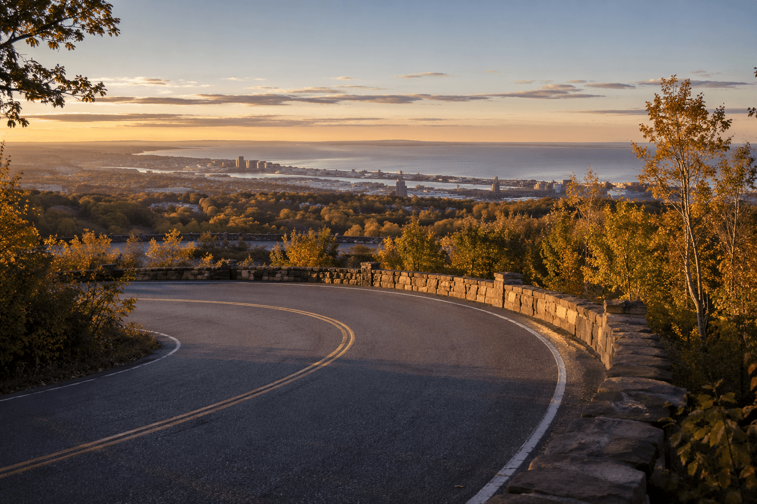
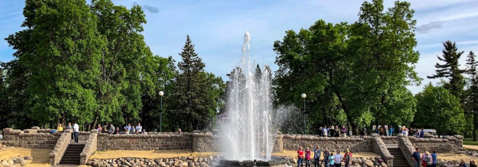
Between Nashwauk and Gilbert, the route passes several of the trail’s most visible St. Louis County landmarks. Chisholm brings one of the route’s signature pieces of public art with the Emergence of Man Through Steel sculpture, a fitting marker in a city shaped by iron mining. Virginia adds Olcott Park and, just as important for riders who want a view, the Thomas Rukavina Memorial Bridge, a notable vantage point on the Mesabi Trail.
Gilbert closes the segment with another layer of mining-era character, including Pike Rock Cut on the approach into town.
Mining history is the backdrop on every mile
The trail’s appeal in St. Louis County comes from the landscape as much as the towns. St. Louis County is the largest county east of the Mississippi River. Much of its identity has been built on logging and iron ore. It is home to the majority of Minnesota’s iron mines, which St. Louis County says produce 85% of the country’s domestic iron.
County planning materials trace the Mesabi Iron Range back to gold exploration in the 1860s and call it the largest mining district in North America. That history still shows up in the terrain riders see now: old pits, industrial cut lines and mining towns that grew up around ore. The Iron Range was the single largest supplier of raw materials to the World War II war effort.
Specific town details sharpen that context. In Buhl, one open pit was the first on the Mesabi Range to be electrified, and its shovel had a 14-ton dipper capacity. In Sparta, the old mining town between Eveleth and Gilbert grew rapidly after the Genoa underground mine opened in 1896, and today much of its memory lives in the archives of the Iron Range Historical Society in McKinley.
Rules, seasons and what to expect
The trail’s use rules are straightforward. Wheel users age 18 and older need a wheel pass, while hikers, joggers, walkers and people with disabilities are exempt.
Winter use is possible too, but it comes with limits. Riders can sometimes use fat tire bikes in winter, along with cross-country skis, snowshoes and winter hiking, though the trail is not groomed for those activities.
Why the route works for St. Louis County
The Mesabi Trail is one of Minnesota’s longest paved bike trails. A ride from Nashwauk toward Gilbert can pass public art, historic parks, bridge views and old mining landscapes while also directing traffic toward cafés, shops, campgrounds and lodging in towns that still depend on visitors moving from one stop to the next.
For anyone planning a day on the Iron Range, the trail is easiest to use when the route is built around specific anchors: start at one of the 28 access points, pick a town stop or two, then use the map to match the ride to food, parking and the right distance.
This article was produced by Prism’s automated news system from verified source data, official records, and press releases, then run through automated quality and moderation checks before publishing. The system is built and supervised by the people who set the standards it runs under. Read our full AI policy.
Did this article answer your question?