Jamestown Reservoir releases increased to 300 cubic feet per second
More water is moving out of Jamestown Reservoir after releases rose to 300 cfs, a modest step that could nudge river levels and shoreline conditions downstream.
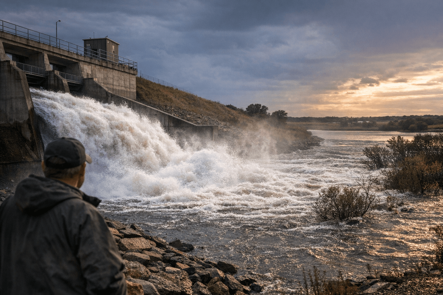
Jamestown Reservoir managers opened the outlet a little wider, increasing releases from 200 cubic feet per second to 300 cubic feet per second as the pool reached 1,433.11 feet above mean sea level. For people along the James River corridor, that means water moving downstream will be a bit steadier and the reservoir should have more room to absorb spring inflows if runoff picks up.
The U.S. Army Corps of Engineers said the change was made to stay ahead of the inflows being measured at the reservoir. That kind of adjustment usually points to active spring management rather than an emergency, but it can still affect shoreline access, low-lying ground, and the pace at which water rises or falls near the reservoir and downstream channels. Residents who fish, launch boats, or spend time near the water often notice these shifts first.
Jamestown Dam is a Bureau of Reclamation project, but when the reservoir is in the flood-control zone, the Corps regulates releases with help from the Bureau of Reclamation and the National Weather Service. The agencies track rainfall and runoff closely and adjust plans as conditions change across the James River Basin. Jamestown Dam was completed in September 1953, and basin planning dates back to 1926, with additional Corps studies in 1933 and 1947.
This week’s release increase is modest compared with earlier spring or flood-control operations. In April 2020, releases rose from 200 cfs to 350 cfs when the reservoir stood at 1,439.1 feet, about 18 percent into the flood pool. In 2017, combined Jamestown and Pipestem releases climbed from 450 cfs to 650 cfs, and in 2019 Jamestown releases reached 1,200 cfs during heavy rainfall and much higher inflows.
Recent Corps water data showed Jamestown Dam and Reservoir at about 1,432.03 feet, with conservation storage essentially full and only 4 percent of flood storage used. North Dakota water officials say flooding along the James River has generally been less severe since Jamestown and Pipestem dams were completed, which is why even a 100 cfs increase draws attention in Stutsman County. For now, the change signals close monitoring and routine spring operations, not a major flood response.
This article was produced by Prism’s automated news system from verified source data, official records, and press releases, then run through automated quality and moderation checks before publishing. The system is built and supervised by the people who set the standards it runs under. Read our full AI policy.
Did this article answer your question?