Mindat entry catalogs Rico Mining District's historic placer gold and silver
A cataloged entry maps Rico Mining District placer sites and documents historic gold and silver finds, informing local history and land use.
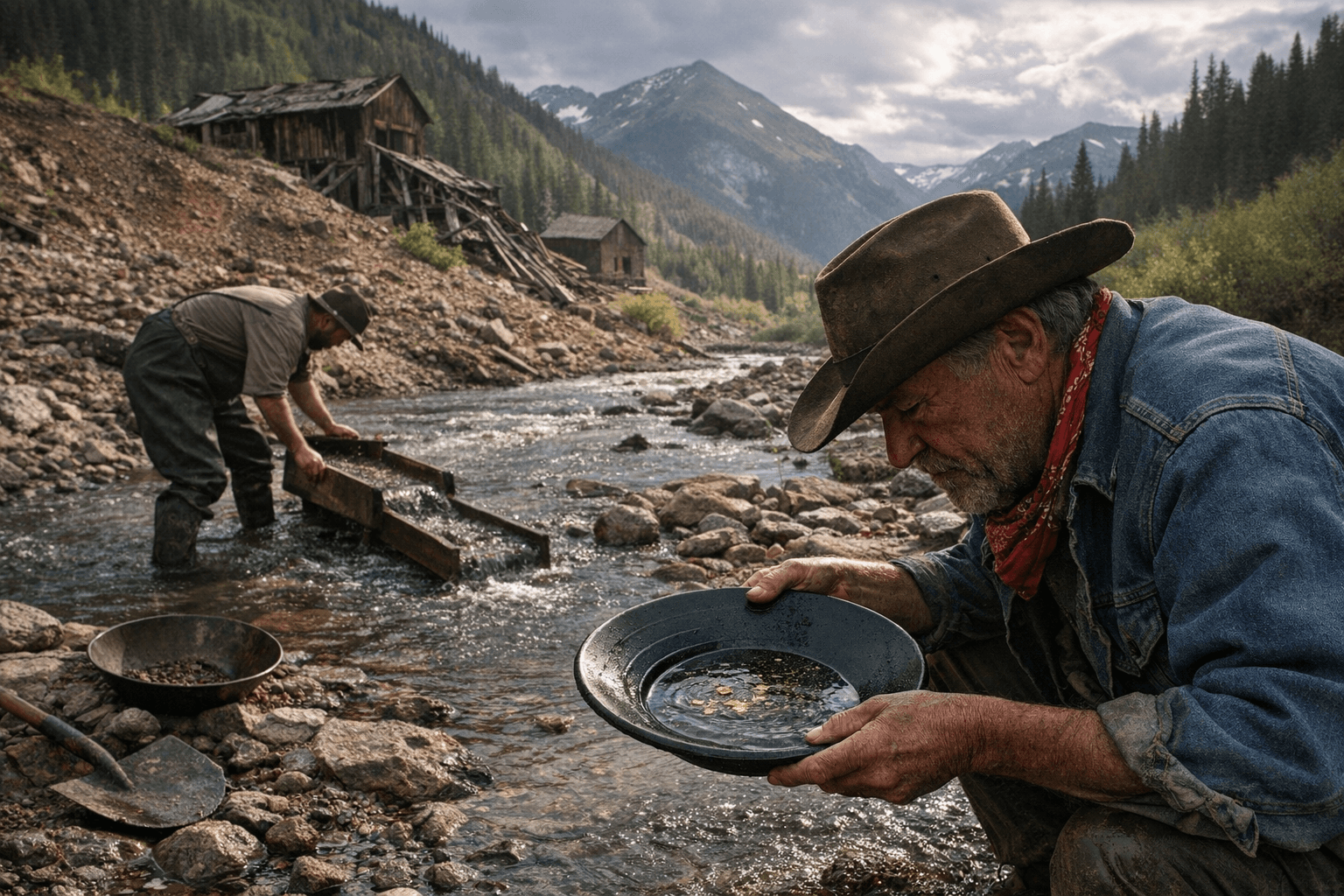
A newly cataloged record compiles detailed locality data for the Rico Mining District, documenting placer and lode occurrences in the Rico Mountains and greater San Juan region that historically yielded native gold and native silver. The catalog lists the Dolores River Placers and other nearby localities, noting gravel, sand and Telluride Conglomerate-hosted deposits as the primary hosts of precious-metal occurrences and supplying coordinates and references to geological and historical sources.
The entry reinforces what local records and old mine workings have long suggested: Rico and its surrounding mountain canyons contain both placer concentrations washed into gravel and sand, and vein- or conglomerate-hosted mineralization where native gold and native silver occur together. The inclusion of mapped coordinates makes the record a practical reference for anyone researching site-specific geology, historical workings, or land-use questions in Dolores County.
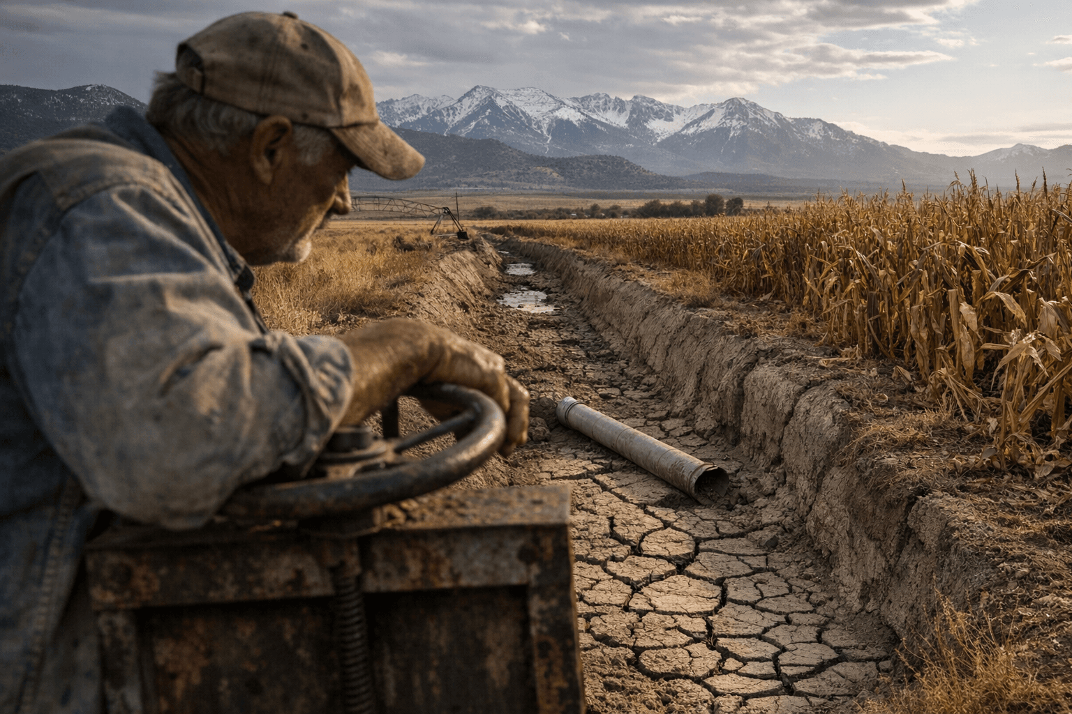
For residents, the catalog has several immediate implications. First, it sharpens the historical record tied to Rico’s late 19th and early 20th century mining era, providing more precise locality information that can be used by historians, land managers and county planners. Second, the documented presence of placer gold and native silver can affect recreational prospecting, private-property inquiries and tourism interest. When old placers are clearly identified, property owners and county officials may see increased requests for access, which raises issues of liability, permitting and environmental protection.
Economically, the cataloged data do not by themselves change market fundamentals for gold or silver, but they do matter for local economic development and heritage tourism. Clear documentation of mineral localities can support walking tours, museum exhibits and educational outreach that connect Dolores County’s past to present opportunities. At the same time, any renewed activity around historically mined sites carries potential environmental and regulatory consequences; sediment disturbance, water quality concerns and legacy tailings require coordination with county, state and federal land managers.
The catalog also provides a technical touchstone for geologists tracing Telluride Conglomerate-hosted mineralization in the San Juan region. By tying historical reports to specific coordinates and source references, it helps clarify where placer and lode occurrences cluster and how they relate to local stratigraphy.
For Dolores County residents, the practical next steps are familiar: consult land ownership records and appropriate permitting authorities before visiting former mine sites, and consider how documented mining localities can be incorporated into local heritage and land-use planning. This cataloged record sharpens the map of Rico’s mineral past and offers a foundation for responsible stewardship and community benefit going forward.
Sources:
Know something we missed? Have a correction or additional information?
Submit a Tip