Kona diving’s volcanic coast shaped by tsunamis and ocean forces
Kona’s best dives come from the same geology that makes the coast unforgiving: lava-built entries, endemic fish, and access that can change fast.
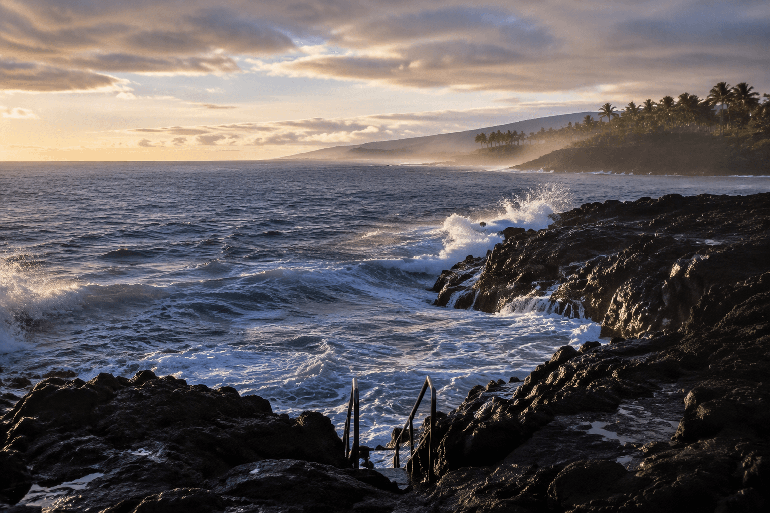
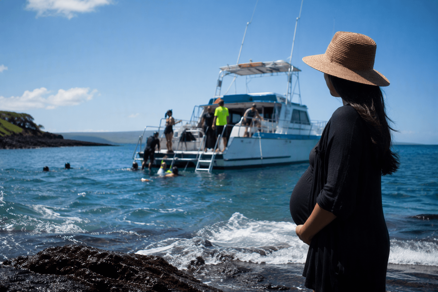
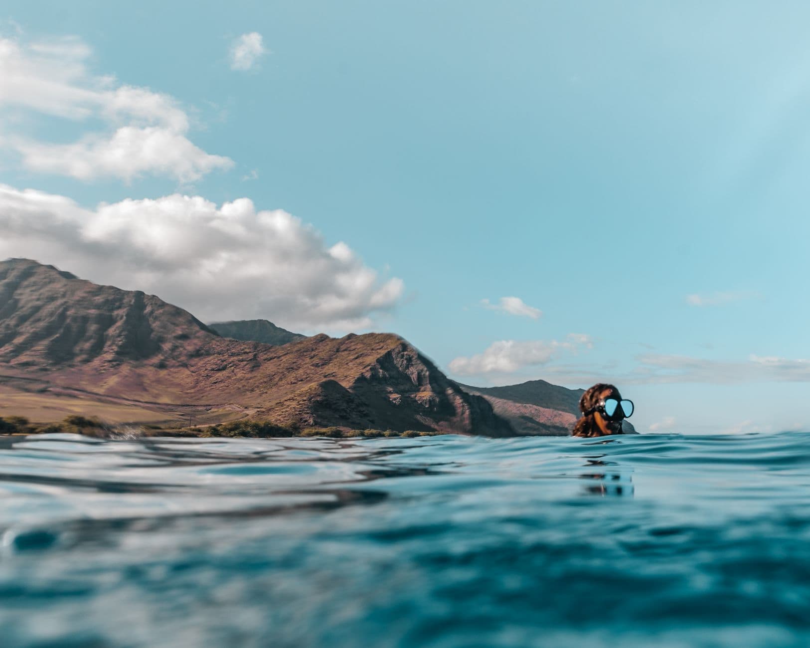
The west side of Hawaii Island is a hard-edged volcanic shoreline, built from lava, cut by steep relief, and exposed to the open Pacific. Those same features that make Kona dives distinctive also shape how you plan them. A calm-looking morning in Kailua-Kona can still turn into a site-by-site decision about swell, entry, and what the coast has done lately.
Volcanic shoreline, not soft beach diving
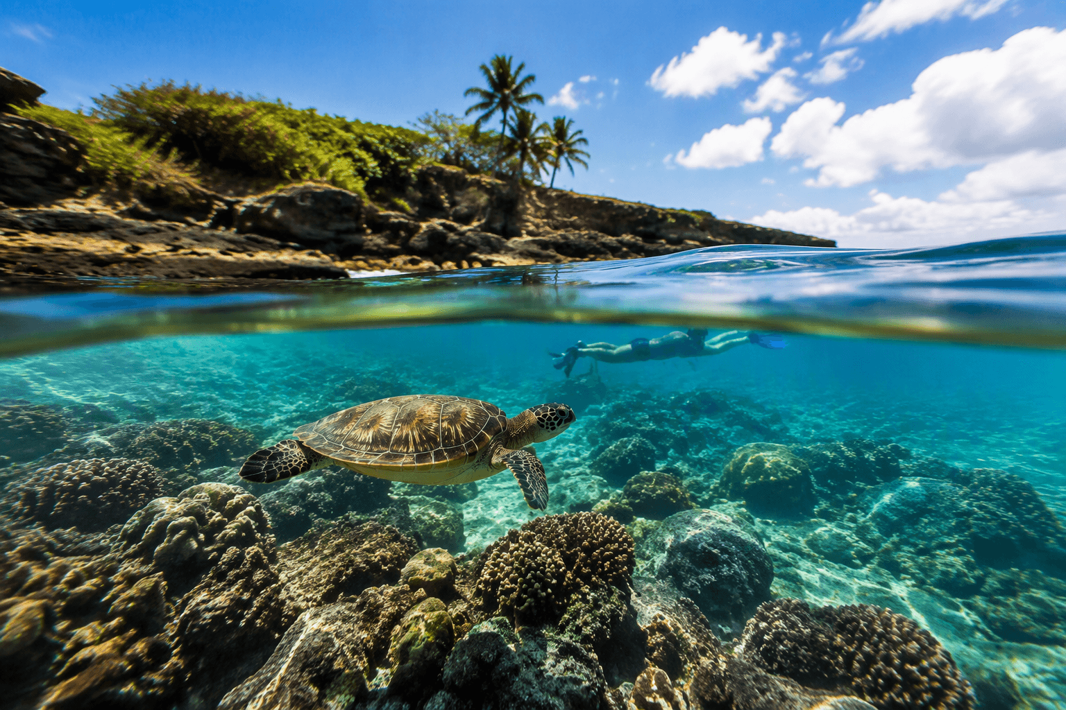
Kona Diving Company calls the area a “chunk of rock in the middle of the Pacific,” and that is the right mental model when you are sorting out a dive day here. More than 20 percent of Hawaii’s fish are endemic to the Hawaiian Islands, so the biological payoff is real, but the fish life is only part of the story. The reefs, ledges, and sheltering structure you dive are products of lava, not gentle sediment.
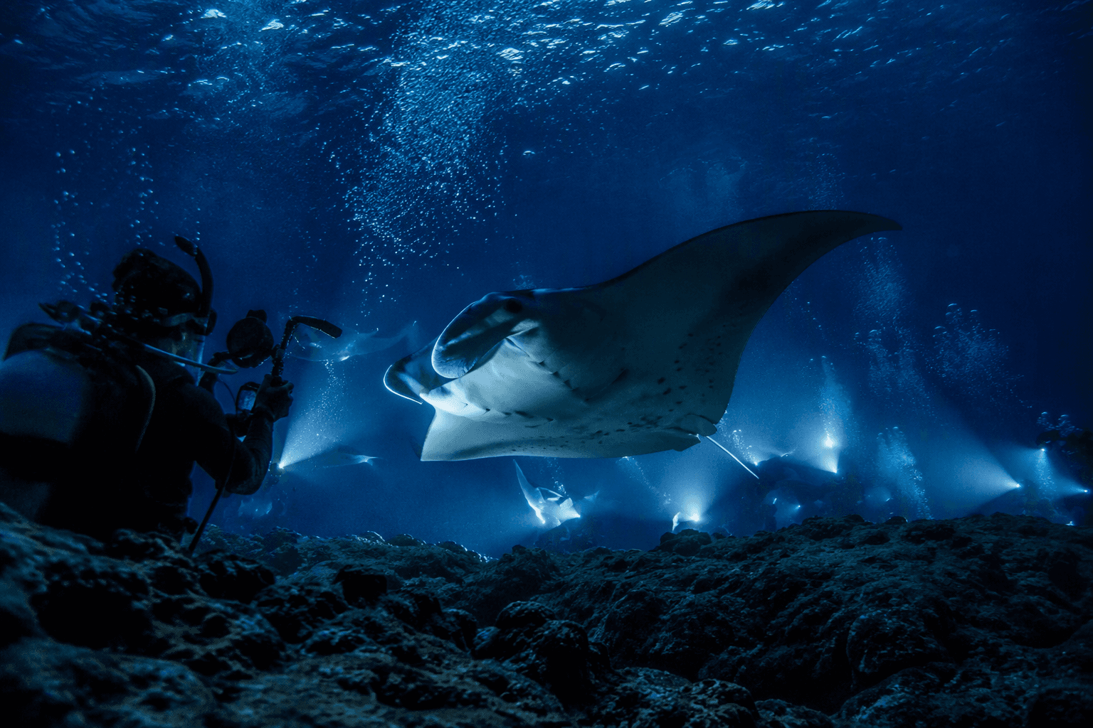
Lava built many of the dive sites here. Where flows reached the water, they left arches and lava tubes that can sit within reach of a single-tank dive, which is exactly why Kona can feel so packed with topography even when the surface looks quiet. That same construction explains why a site may have an easy boat drop but a more awkward shore exit, or why two entries a short distance apart can feel completely different once you are in fins.
Why the west coast history matters underwater
Kona’s coastline has been rewritten by ocean events, and that history still affects diving logistics. On March 11, 2011, a magnitude 9.0 earthquake near the east coast of Honshu, Japan generated a tsunami that reached Hawaii. DAN documented a 7-foot-high wall of water pounding the western coast of Hawaii Island. PACIOOS recorded millions of dollars in damage along the west coast of the Big Island and at Kahului, Maui.
A 2013 study in the Journal of Geophysical Research: Oceans found that the 2011 Tohoku tsunami produced strong currents around the Hawaiian Islands and closed harbors and marinas for up to 38 hours after arrival.
Shore entries that look easy until you commit
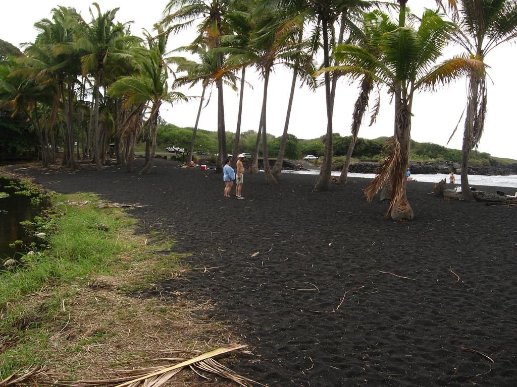
That history becomes especially important on shore dives. Kona may be famous for leeward calm, but the shoreline itself is rugged, with lava rock, irregular ledges, and entries that can feel fine from the parking area and much less forgiving once you are actually clipped in and walking with fins. The mistake is assuming a site is simple because the water off the beach looks flat; on this coast, the entry trail and the surge zone matter as much as the forecast.
Two names come up for good reason: Puukō and 2 Step, at Puuhonua o Hōnaunau. Both shore entries are free, which makes them attractive, but free does not mean casual. The access itself can ask more of you than a resort-style sandy entry would, so the smart move is to treat the approach like part of the dive, not just the walk before it. If the swell is running, or if the rock is slick, the difference between an enjoyable shore dive and a messy one shows up before you even descend.
Boat diving, visibility, and what changes the day
Love Big Island’s listed starting price for a two-tank boat dive out of Kona is around $169 per person. That buys you a different relationship with the coast: less scrambling over lava, more focus on the structure below, where those arches, tubes, and reef edges are easier to appreciate. On the Kohala Coast, visibility can run past 100 feet on a clear day.
But even in clear water, you do not get to ignore the coastline. University of Hawaii coastal geology material documents strong Kona storms generating wave heights of 3 to 4 meters and causing extensive damage to south- and west-facing coasts. Local divers watch more than the weather app: the coast, the swell, the trail to the entry, and the site itself.
How to read a Kona dive day
A good Kona plan starts with the coast before it starts with the charter. If the site is shore-based, check whether the entry is over lava, whether the approach is exposed, and whether the exit is likely to be more awkward than the descent. If you are heading out by boat, remember that the structure beneath you was built by lava flows, which means a compact, highly site-specific dive over arches and tubes instead of a broad, sandy bottom.
This article was produced by Prism’s automated news system from verified source data, official records, and press releases, then run through automated quality and moderation checks before publishing. The system is built and supervised by the people who set the standards it runs under. Read our full AI policy.
Did this article answer your question?