Meshtastic range planner turns node reach into a real physics problem
Meshtastic range is not a spec-sheet number; the new planner turns it into a link budget problem, where antenna height and terrain decide who hears whom.
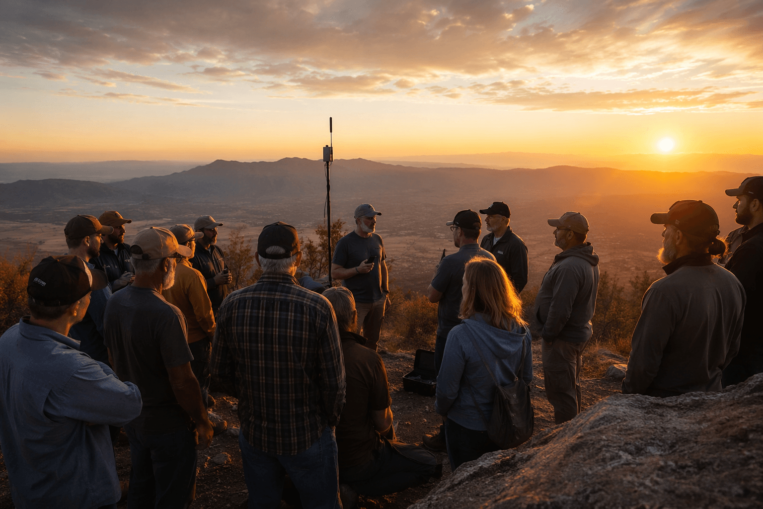
Meshtastic range only looks simple until you try to build a real node. The new range planning tools force the question back into physics, where transmit power, antenna gain, cable loss, fade margin, and the height of each mount all matter more than a hand-wavy “X-mile” claim. That is the right way to think about a relay on a roof, a handheld on a trail, or a vehicle node rolling through mixed terrain.
Range is a link budget, not a promise
D-Central’s range planner takes the most common Meshtastic mistake head-on: treating reach like a single number. Its model turns maximum allowable path loss into planning bands for free space, rural, suburban, and dense urban or forest environments, then caps the result at the radio horizon so you do not confuse raw RF power with what the Earth and the terrain will actually allow. That makes it a planning tool, not a fantasy calculator.
Meshtastic’s own introduction frames the project the same way, as an open-source, off-grid, decentralized mesh network built on affordable low-power devices. Once you accept that premise, range stops being a marketing line and becomes a deployment decision. The practical question is not “how far does Meshtastic go?” It is “what do my node height, antenna choice, and environment let me do today?”
What the official planner wants from you
Meshtastic’s Site Planner is the official answer to that question. It is an open-source web utility that runs in the browser and uses the ITM, also known as Longley-Rice, model to predict radio coverage. The docs tell you to enter a site name, geographic coordinates, antenna height above ground, region, transmit power, frequency, antenna gain, receiver height, and receiver antenna gain.
That is not a casual checklist. It is a reminder that propagation planning is now part of the Meshtastic workflow, not an optional side quest. Meshtastic has also described the planner as a response to the wider industry’s deployment software, which is often proprietary, expensive, and hard to use. If you have ever eyeballed a hilltop and hoped for the best, this is the tool that asks for the numbers first.
The antenna move usually beats the preset move
The strongest practical lesson in the planner is that moving the antenna usually matters more than changing the modem preset. D-Central’s article starts from Meshtastic’s modem presets and assumes 22 dBm transmit power with 0 dBi antennas in its baseline figures, then shows how real hardware changes the outcome. For Long Fast with stock roughly 2 dBi antennas, it gives a suburban planning band of about 1.9 to 6.7 km, and it notes that a clear line-of-sight link can still be limited by the radio horizon instead of raw output power.
The same article gives the cleanest reality check in the whole piece: if both antennas sit at 2 m, the horizon is about 11.7 km. That is the sort of number that saves money, because it tells you whether you should spend on a better mast, a better mount, or a more aggressive preset. Meshtastic’s Site Planner docs back up the same mindset by listing the default LongFast receiver sensitivity at -130 dBm, which is a reminder that the receive side matters just as much as the transmit side.
The knobs you can actually turn
Meshtastic’s LoRa configuration docs show the parameters that really change the shape of a link: region, modem preset, transmit power, bandwidth, spread factor, and coding rate. D-Central’s planner also walks through the tradeoff between the common presets, including Short Turbo, Short Fast, Short Slow, Medium Fast, Medium Slow, Long Turbo, Long Fast, Long Moderate, and Long Slow. That spread is useful because it keeps you from pretending that the fastest setting and the longest setting are the same thing.
Regional settings matter too. Meshtastic’s radio settings page says the maximum output power for North America is +30 dBm ERP, and it notes that 868 MHz is generally the most popular frequency band for Meshtastic in Europe. The project’s regional options also include EU868, EU433, and the 915 MHz ISM Band, which means the planner only makes sense when it is matched to the band you are actually allowed, and able, to run.
A good way to use that in practice is simple:
1. Pick the region first, because that sets the legal and practical radio envelope.
2. Enter the real antenna heights you can mount, not the heights you wish you had.
3. Compare the environment bands, then ask whether a mast, rooftop, or relay node changes the result more than a preset change.
That sequence is the fastest way to catch a bad deployment before you buy the wrong gear.
What the records actually prove
Meshtastic’s range records are impressive, but they are not a shopping list. The current ground record is 331 km, the previous ground record was 254 km, and the current air record is 206 km. Meshtastic’s introduction page highlights the 331 km result, credited to MartinR7 and alleg, as proof that long range is a real feature of the project.
Those numbers matter because they show what is possible under exceptional conditions, not what you should expect from a handheld in mixed terrain. Long-distance records depend on specific hardware, antennas, firmware versions, frequencies, and terrain, which is exactly why a conservative planner is worth more than a heroic anecdote. Meshtastic’s antenna-reports repository also tells the same story in community form: it began as a project by RicInNewMexico and was later transferred to the Meshtastic organization, which is about as clear a sign as you need that antenna choice and validation are not niche concerns.
The deployment test you should run before you buy anything
If you are setting up a rooftop relay, a vehicle-mounted field station, or a trail node, the right first move is to model the site, not to shop for a bigger number. The official Site Planner asks for the details that make or break the link, while D-Central’s planner converts them into realistic range bands that reflect fade margin, antenna gain, and the radio horizon. That combination forces the question into the open: do you need more power, or do you need better height and cleaner path geometry?
That is the point of Meshtastic’s range tools. They strip away the myth that range is a spec and replace it with the thing that actually governs the link: physics.
This article was produced by Prism’s automated news system from verified source data, official records, and press releases, then run through automated quality and moderation checks before publishing. The system is built and supervised by the people who set the standards it runs under. Read our full AI policy.
Did this article answer your question?