Kaibab National Forest opens comment period on post-fire safety project
Dead trees, new fuel breaks and scarred access routes on the Kaibab Plateau are now in play, and the changes could reshape North Rim travel later this year.

Dead trees, damaged fuel corridors and burned access routes on the Kaibab Plateau are now part of a post-fire safety project that could change how visitors move across the North Kaibab Ranger District later this year. Kaibab National Forest opened a 14-day public comment period June 6 on the Kaibab Plateau Public and Firefighter Safety Project, with a final decision expected in July and field work slated to begin in late summer or early fall 2026.
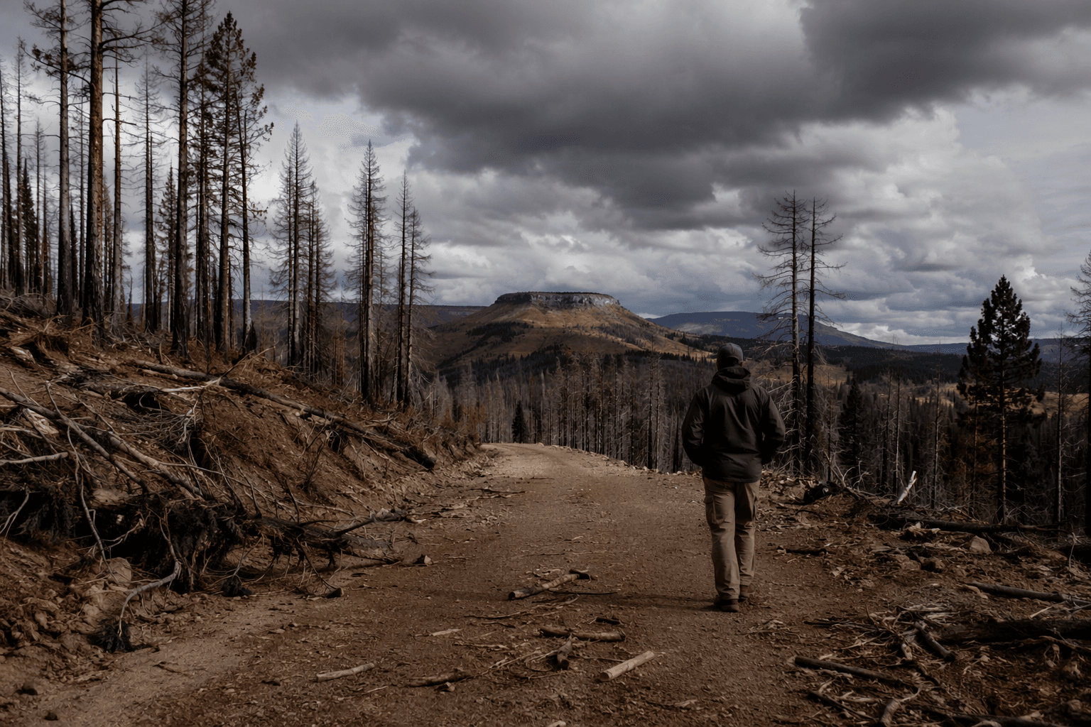
The proposal is broad in the places it touches and blunt in what it is trying to fix. Forest officials say the work would address hazard trees that could fall on visitors, firefighters or infrastructure, while also improving evacuation routes and roadside safety with shaded fuel breaks. The plan calls for hazard tree mitigation on 4,359 acres and shaded fuel breaks on 5,067 acres, along roads, trails, fence lines and developed water features in burned areas, plus roads in unburned parts of the plateau that function as division or control lines.
That matters because the 2025 White Sage and Dragon Bravo fires left a huge footprint on this landscape. Kaibab National Forest says the two fires affected nearly 205,500 acres of public lands, most of it on the North Kaibab Ranger District. The Dragon Bravo Fire ignited July 4, 2025, burned 149,399 acres and destroyed more than 100 structures, including the historic Grand Canyon Lodge. The White Sage Fire began July 9, 2025.
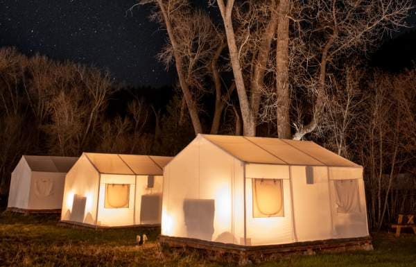
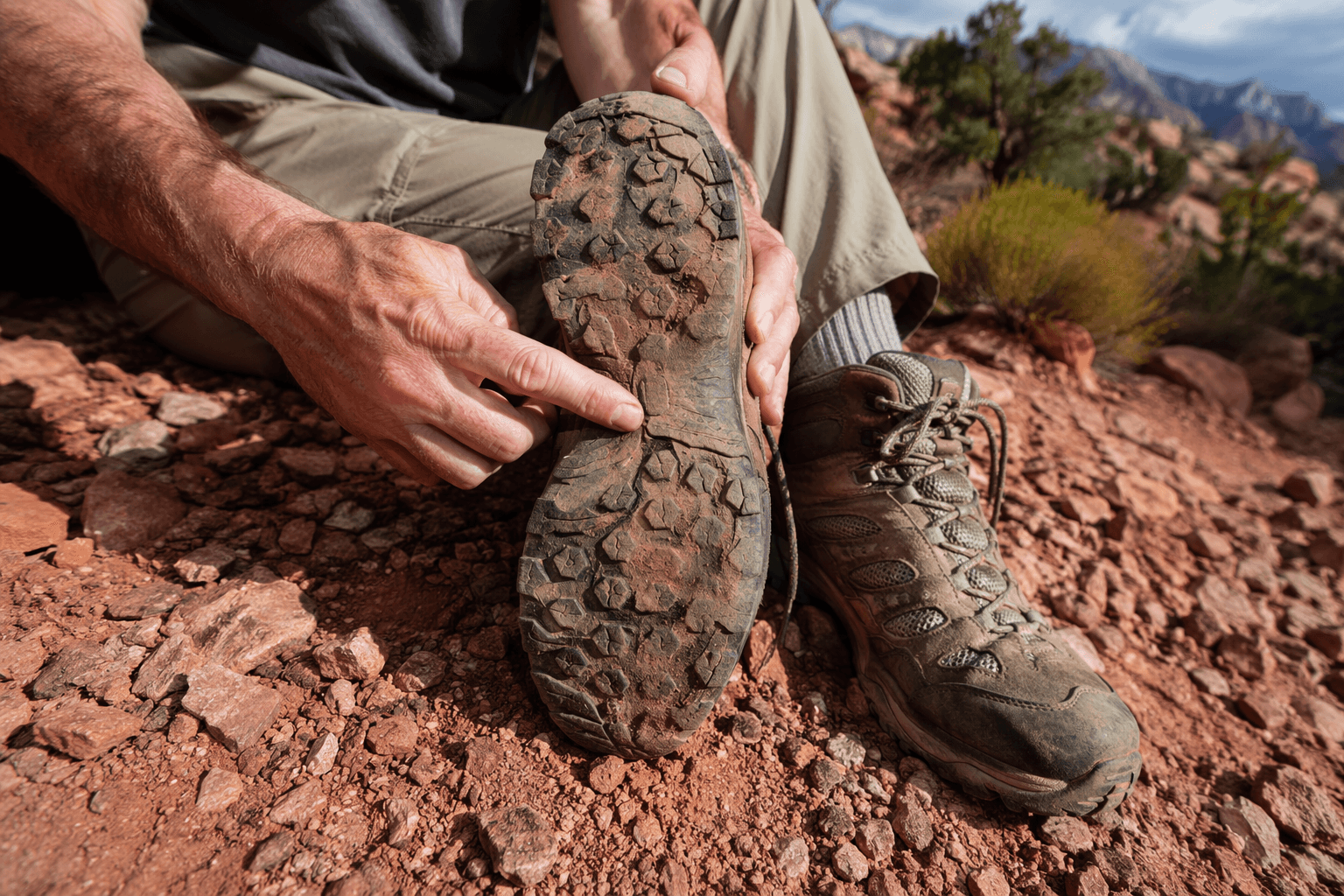
Travelers have already seen the fallout in route changes and trail access. Grand Canyon National Park reopened a portion of the North Kaibab Trail on March 4 after that trail had been closed since July 13, 2025, and the forest has continued dealing with closures and repair work tied to flooding risk, unstable terrain and standing dead trees. This new safety project is another sign that the North Rim and Kaibab Plateau will keep evolving well beyond a single reopening date.
The project also sits inside a much larger recovery landscape. Coconino County adopted the Grand Canyon Region Long-Term Recovery Plan on March 24, and the Kaibab Plateau Ecological Restoration Project covers 518,000 acres on the North Kaibab Ranger District. For hikers, backpackers, scenic drivers and anyone planning shoulder-season trips through Jacob Lake, Fredonia or the North Rim road network, the practical questions are the ones that matter most: where trees come down, where access tightens, and which routes get treated first.
Comments can be emailed to comments-southwestern-kaibab-north-kaibab@usda.gov, mailed to P.O. Box 248, Fredonia, AZ 86022, or hand-delivered to 430 S. Main Street in Fredonia Monday through Friday from 8 a.m. to 4:30 p.m. The forest says the most useful comments are specific and backed by reasons and information, and that is the level this project demands. The safety work coming to the plateau is not abstract, it is the kind that decides which roads stay usable, which trails feel safer, and how the North Rim trip map looks by the end of summer.
This article was produced by Prism’s automated news system from verified source data, official records, and press releases, then run through automated quality and moderation checks before publishing. The system is built and supervised by the people who set the standards it runs under. Read our full AI policy.
Know something we missed? Have a correction or additional information?
Submit a Tip