Mudslides close Colorado road, campground and picnic area
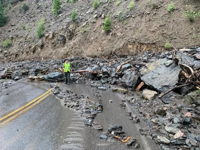
East Portal Road, the campground and picnic area stayed closed after three mudslides buried Curecanti under mud and boulders, briefly trapping 21 visitors.
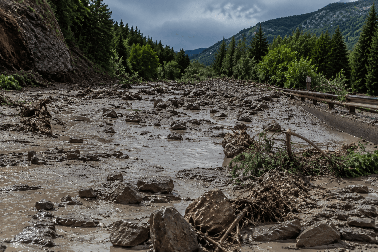
East Portal Road in Curecanti National Recreation Area stayed closed after mudslides buried the route, the campground and the picnic area, cutting off one of the summer access corridors near Gunnison. The National Park Service said 21 day-trippers, campers and anglers were briefly stranded at the bottom of the road, but no injuries were reported.
The slide hit around 5 p.m. on July 16 after a thunderstorm dropped significant rainfall. At least three major mudslides came down East Portal Road, and debris from drainages above the roadway covered parts of the route with up to six feet of boulders, rocks and mud. Responders were on scene by 5:45 p.m.
The park said East Portal Road, the campground and the picnic area would remain closed until assessments and repairs were completed and every facility was safe for public access. There was no estimate for total damage, costs or opening dates. For anyone who had a Black Canyon side trip or a Curecanti overnight locked in, that means the plan is on hold, not just delayed. A road closure can knock out the campground and the picnic stop with it, and the reopening clock for each piece can move at a different pace.
If your trip was aimed at the east-side descent, shift it toward the broader Curecanti area off U.S. Highway 50 instead. Elk Creek Campground sits on the north shore of Blue Mesa Reservoir, 15 miles west of Gunnison at mile marker 142, and Blue Mesa brings 96 miles of shoreline for boating, fishing and a cleaner backup day than waiting for a slide zone to be cleared.
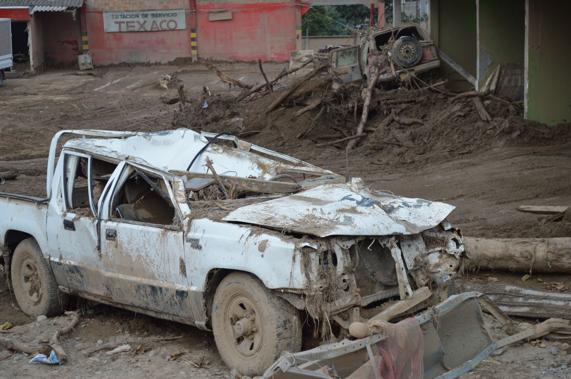
The bigger summer pattern is familiar across Colorado mountain travel. Similar weather-driven closures have hit Highway 82, Colorado Highway 133, U.S. 6 in Clear Creek Canyon and Loveland Pass, and monsoon rain can turn a sunny trailhead into a closed drainage with almost no warning. Curecanti, near Gunnison, spans three reservoirs and surrounding lands, so one thunderstorm can wipe out a road plan, a campsite and a picnic stop in a single shot.
This article was produced by Prism’s automated news system from verified source data, official records, and press releases, then run through automated quality and moderation checks before publishing. The system is built and supervised by the people who set the standards it runs under. Read our full AI policy.
Did this article answer your question?