Southern Utah travel hub warns visitors to check wildfire updates
Wildfire restrictions, shuttle timing, and forest closures can reshape a southern Utah trip fast. Zion, Dixie, and Monticello-area access all need a same-day check.
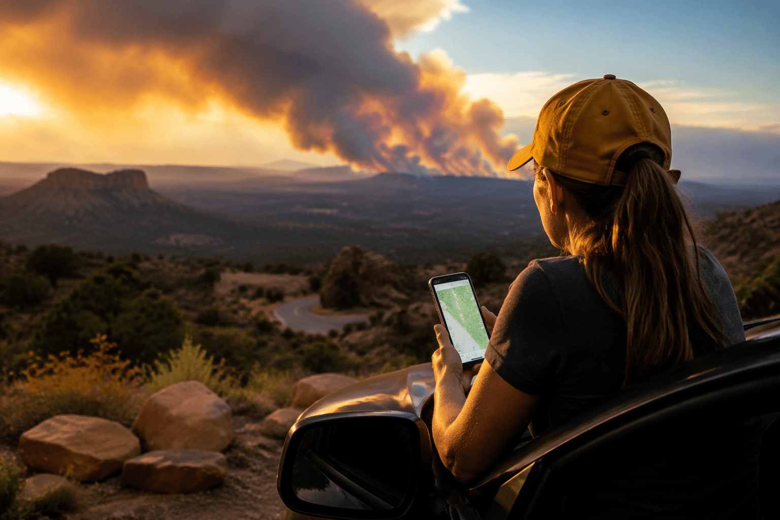
Headed for Zion, Cedar Breaks, or a Brian Head base camp? Check wildfire and road updates before you load the car, because southern Utah is already changing the rules on travelers this season. Zion has Stage 2 fire restrictions, Stage 1 has spread across southwest Utah, and a Babylon wildfire closure hit the Manti-La Sal National Forest’s Monticello Ranger District on June 28, 2026. If you skip the live updates, your campfire, trailhead, or even your route can be the thing that gets turned around.
Why this travel hub matters before you leave home
The Visit Cedar City - Brian Head Tourism Bureau page works like a planning dashboard, not a glossy overview. Its “Prevent Wildfires” section pushes visitors straight toward area fire information and updates, which is exactly the kind of triage southern Utah demands in peak season. A trip here can cross state parks, national parks, national forests, and county roads in a single day, so one static map is never enough.
That is especially true if Cedar City or Brian Head is your base. Brian Head Town notes that the highway through town sits at about 10,000 feet above sea level, which makes route conditions a winter concern and a weather concern all year long. UDOT road and traffic updates matter here because a storm, construction, or a fire closure can change the drive faster than your reservation confirmation can.
Fire conditions are the first decision point
The wildfire message is not just cautionary language. Utah Fire Sense says roughly 70% of Utah wildfires can be prevented, and simple precautions can help prevent 24% of the state’s human-caused wildfires. Visit Utah also ties the 2026 risk to a below-average snowpack and above-average temperatures, which is the kind of setup that turns a dry hillside into a fast-moving problem.
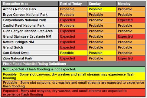
That risk showed up in real restrictions across the region. Zion National Park implemented Stage 2 fire restrictions in May 2026, and Stage 1 fire restrictions were expanded across southwest Utah beginning June 5, 2026, including Zion and the Dixie National Forest. By late June, a “Particularly Dangerous Situation” red flag warning covered parts of southern Utah while the Cottonwood Fire burned as one of several fires in the region, and the Babylon wildfire triggered a new forest closure order on the Manti-La Sal National Forest’s Monticello Ranger District starting June 28, 2026.
If your itinerary includes a campfire, dispersed camping, or a backcountry night, those restrictions are the part that changes everything. A plan that worked in May can become illegal or impractical by June, and the difference is often a matter of hours, not days.
Zion is still the classic trip magnet, but the operating rules keep changing
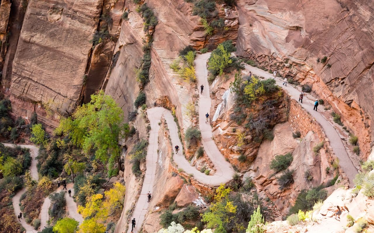
Zion National Park remains the centerpiece for a lot of southern Utah itineraries, which is why its shuttle schedule and fire rules matter so much. The park announced that shuttle service would resume March 7, 2026, then run from March through November with an additional week at the end of the season. That gives you a clear timing window, but it also tells you how tightly visitor access is managed in the corridor.
Zion’s operations can also shift because of construction and vehicle limits. The 2026 operating plan for commercial shuttle service and separate notices about the Zion-Mount Carmel Highway and Tunnel for large vehicles mean you need to check the park’s current operating status before you commit to a route. If you are hauling a trailer, driving a high-clearance rig, or simply trying to avoid a shutdown near the tunnel, those details are trip-defining, not minor footnotes.
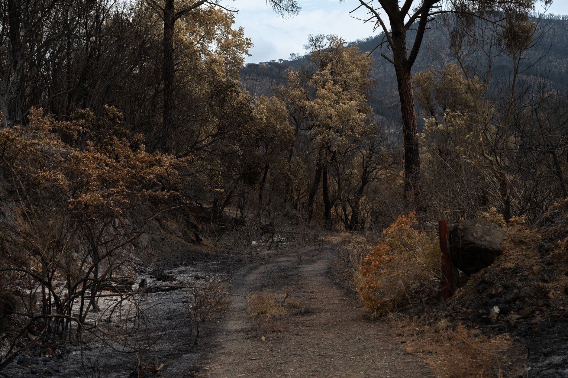
Fire restrictions layer on top of that. A day hike that starts as a simple shuttle ride can become a very different outing if parking fills early, smoke drops visibility, or the park tightens rules around ignition sources and camping.
Build your route around live condition pages, not assumptions
The smartest move in southern Utah is to treat current conditions as part of the itinerary. Cedar Breaks National Monument, Utah State Parks, the Bureau of Land Management’s Utah fire restrictions page, Dixie National Forest alerts, Washington County emergency management, and UDOT all maintain live information that can save you from a dead-end drive or a closed trailhead. That matters whether you are camping outside Cedar City, making a Zion day trip, or trying to thread a scenic drive through several jurisdictions.
The practical habit is simple: check fire restrictions, check road status, then check park operations before you leave. In this part of the Southwest, the safest-looking route on the map can still turn into a closure, a delay, or a no-campfire zone by the time you arrive. The visit only works cleanly when the wildfire update comes first.
This article was produced by Prism’s automated news system from verified source data, official records, and press releases, then run through automated quality and moderation checks before publishing. The system is built and supervised by the people who set the standards it runs under. Read our full AI policy.
Did this article answer your question?