New England canyons turn hot for summer tuna runs
The canyons off New England become tuna highways when warm eddies, bait and current stack up, and the smart move is to fish the water ahead of the waypoint.
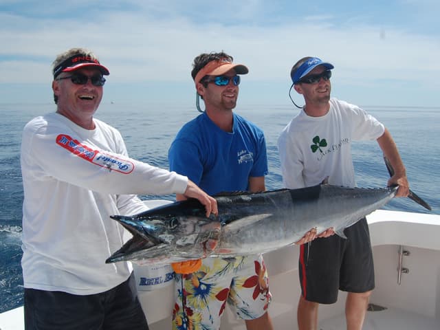
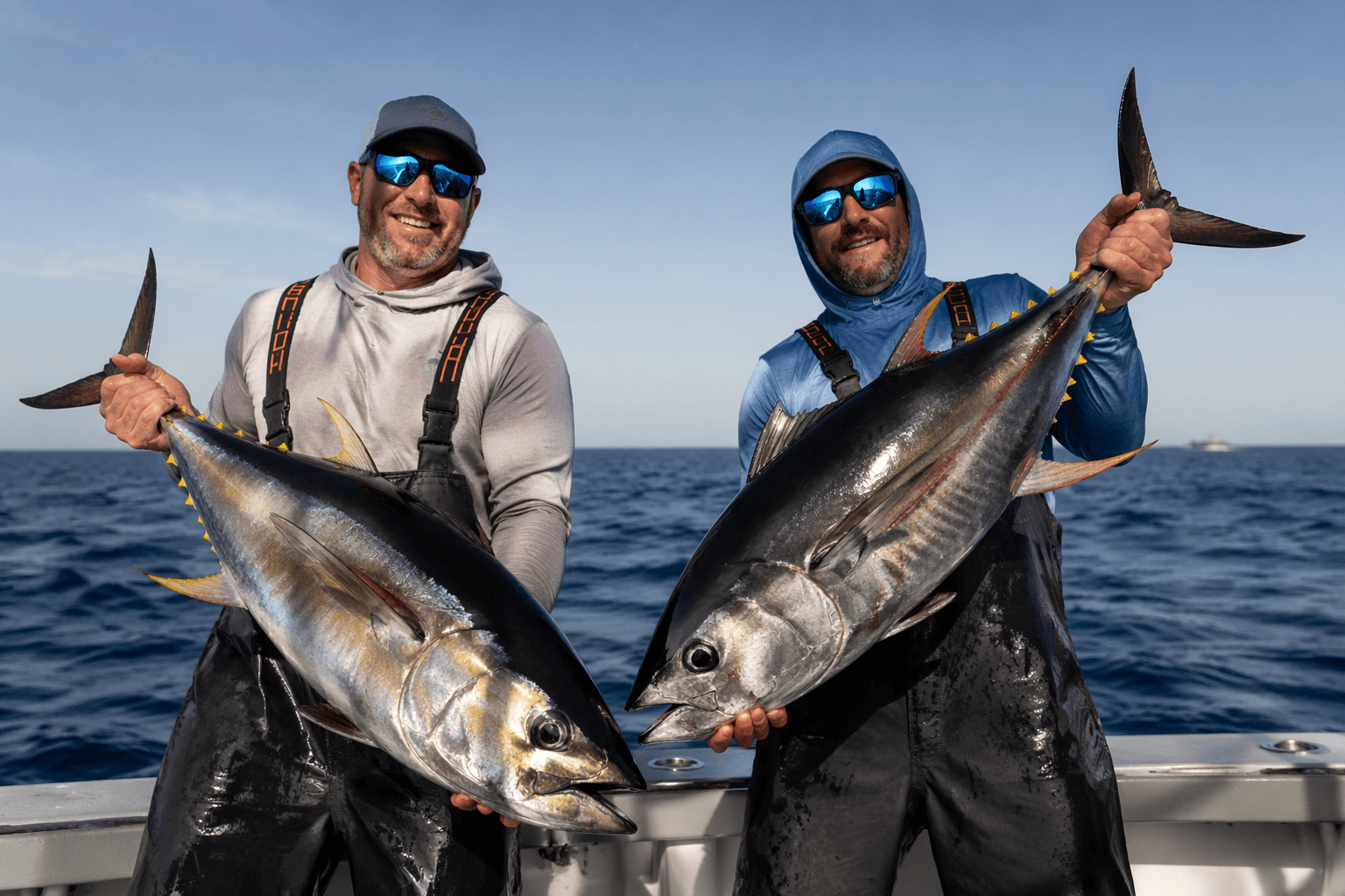
By late June and early July, warm-water fish like mahi, wahoo and tuna start sliding into the New England canyons as Gulf Stream water reaches the edge of the shelf. The better bet is reading the water, because a blank spreader bar can turn into a real spread if you understand where the break is forming and how far the fish are running ahead of it.
Why the canyons turn into tuna highways
The New England canyons are deep cuts in the continental shelf, carved when prehistoric glacier melt rewrote the edge of the coast, stretching from Hudson Canyon in the west to Hydrographer Canyon in the east. Depending on your port, the run can be about 70 nautical miles or more than 130 nautical miles, which is why the best offshore crews treat the trip as a planning problem, not a casual dash.
Warm eddies peeling off the Gulf Stream collide with the colder, nutrient-rich Labrador Current, and that clash forces upwelling. The result is a narrow corridor where current, depth and bait concentrate, and pelagics stack up.
Pick the canyon by the water, not the name
Hudson Canyon and Hydrographer Canyon get a lot of attention for good reason, but the better question is which edge is holding the cleanest temperature break and the strongest concentration of life. Anglers often begin trolling about 10 miles north of the canyon edge rather than waiting for the exact waypoint, because the fish can be spread out and mobile before they settle in tight. That kind of offset matters when the break is moving faster than your plotter is.
The canyons also sit inside a larger offshore system that is easy to underestimate if you only look at a chart plotter screen. NOAA puts the Northeast Canyons and Seamounts Marine National Monument at about 4,913 square miles and roughly 130 miles east-southeast of Cape Cod. The monument includes two distinct areas, one covering three canyons and one covering four seamounts, so the grounds are built around structure that keeps pulling bait and predators back into the same lanes.
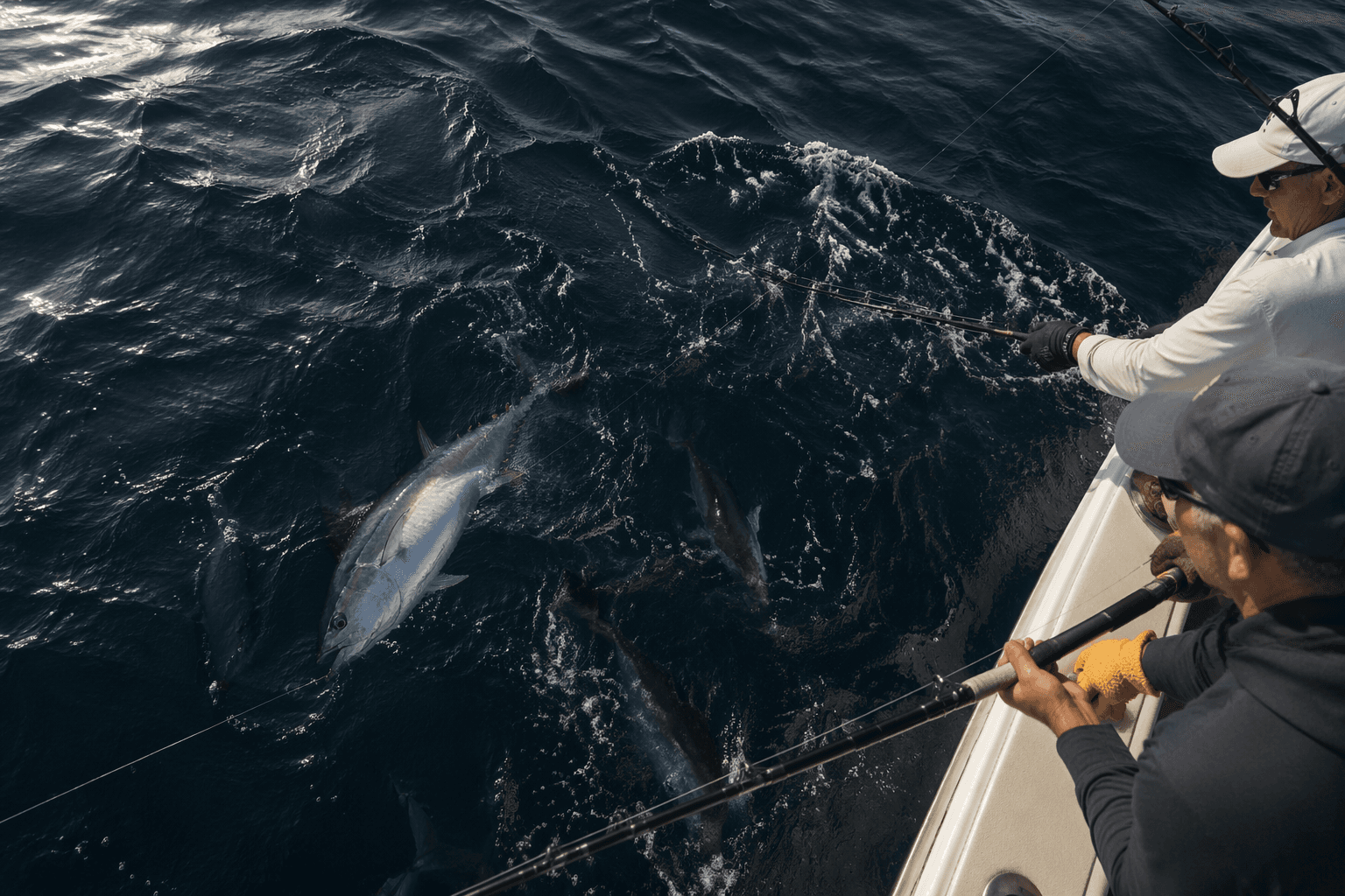
For a practical run plan, think in terms of access and fuel as much as fish quality. A boat leaving New England can reach different canyon edges depending on port, and the 70-to-130-nautical-mile spread changes the whole day. If your run is long, you need a water picture that already points to a likely break before you clear the harbor.
Read the water before you leave the dock
The best canyon trips start with a screen full of temperature and chlorophyll layers, not a deck full of dead fuel. FishTrack's planning tool combines cloud-free sea surface temperature, chlorophyll, currents, tides, moon phase and marine weather, and NOAA offers blended SST contour charts for ocean monitoring and forecasting. Tuna care where the warm-water edge is bending, pushing and pinching bait, not what the forecast says on land.
- Find the clean SST edge first, then check whether the chlorophyll line tightens along the same path.
- Look for current seams and eddies that hold shape instead of dissolving into flat color.
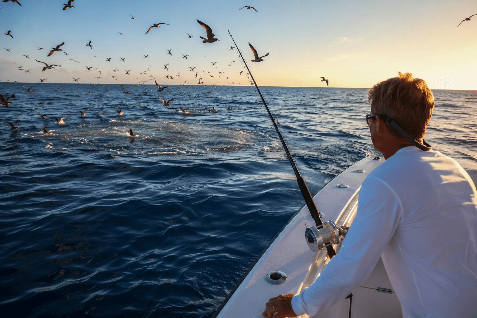
- Watch the ride in for life before you ever mark fish, because shearwaters, Wilson’s storm petrels, dolphins, whales, turtles and manta rays often show up before the exact break does.
- Keep in mind that warm water can shove far onto the shelf, into places anglers call the Dump and the Shipping Lanes, which can save a trip when the outer canyons are out of reach.
A good setup looks like this:
Wilson’s storm-petrels are especially useful because they often bunch where warm and cool currents meet along the Gulf Stream edge. If those birds are working low and steady over a line of green water, do not blow past them because the waypoint says you are still short.
What to expect once the spread goes in
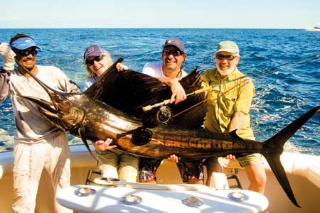
When the canyons are right, the species mix is part of the appeal. Mahi and wahoo move into the system with the tuna, and that mixed bag is what makes offshore season in New England feel like it has started in earnest. The canyons are deep enough to hold blue-water structure, but close enough to productive shelf water that you can see changes in the spread within a few miles.
The U.S. Fish and Wildlife Service describes the area as exceptional for marine mammal diversity, with at least 10 dolphin species and 13 whale species total, including seven large whale species and six medium whale species. Sea turtles and deep-sea corals are part of the same offshore ecosystem.
A modern canyon trip comes down to whether the water stacked up again in the same corridor, whether the birds are still on the edge, and whether the current has pushed the bait tight enough to make the predators commit. If the break is soft, move. If the birds are scattered, keep hunting. If the bait and chlorophyll line up over structure, stay patient and work the edge.
The policy shift changes the fishery, not the homework
The Northeast Canyons and Seamounts monument was established by President Barack Obama on September 15, 2016, and the rules changed again on February 6, 2026, when President Trump removed commercial fishing from the prohibited activities. Commercial fishing is allowed there, though some gear restrictions still apply under the New England Fishery Management Council’s Deep-Sea Coral Amendment.
NOAA identifies Hudson Canyon as the largest submarine canyon along the U.S. Atlantic coast, about 100 miles off New York and New Jersey, and says the sanctuary process began in June 2022. It is roughly 2 to 2.5 miles deep and up to 7.5 miles wide.
This article was produced by Prism’s automated news system from verified source data, official records, and press releases, then run through automated quality and moderation checks before publishing. The system is built and supervised by the people who set the standards it runs under. Read our full AI policy.
Did this article answer your question?